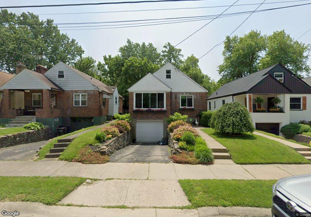
6721 Merwin Ave Cincinnati, OH 45227
Madisonville NeighborhoodEstimated Value: $176,000 - $238,000
2
Beds
1
Bath
950
Sq Ft
$214/Sq Ft
Est. Value
About This Home
This home is located at 6721 Merwin Ave, Cincinnati, OH 45227 and is currently estimated at $203,490, approximately $214 per square foot. 6721 Merwin Ave is a home located in Hamilton County with nearby schools including John P. Parker School, Shroder High School, and Clark Montessori High School.
Ownership History
Date
Name
Owned For
Owner Type
Purchase Details
Closed on
Oct 24, 1997
Sold by
Hempleman Mark E and Hempleman Ruth A
Bought by
Steele Mary J
Current Estimated Value
Purchase Details
Closed on
Dec 29, 1993
Sold by
Simon Kevin M and Simon Debbie C
Bought by
Hempleman Mark E and Rutherford Ruth A
Home Financials for this Owner
Home Financials are based on the most recent Mortgage that was taken out on this home.
Original Mortgage
$62,000
Interest Rate
7.16%
Create a Home Valuation Report for This Property
The Home Valuation Report is an in-depth analysis detailing your home's value as well as a comparison with similar homes in the area
Home Values in the Area
Average Home Value in this Area
Purchase History
| Date | Buyer | Sale Price | Title Company |
|---|---|---|---|
| Steele Mary J | $69,000 | -- | |
| Hempleman Mark E | -- | -- |
Source: Public Records
Mortgage History
| Date | Status | Borrower | Loan Amount |
|---|---|---|---|
| Previous Owner | Hempleman Mark E | $62,000 |
Source: Public Records
Tax History
| Year | Tax Paid | Tax Assessment Tax Assessment Total Assessment is a certain percentage of the fair market value that is determined by local assessors to be the total taxable value of land and additions on the property. | Land | Improvement |
|---|---|---|---|---|
| 2025 | $2,616 | $42,385 | $10,710 | $31,675 |
| 2023 | $2,594 | $42,385 | $10,710 | $31,675 |
| 2022 | $1,924 | $28,169 | $5,282 | $22,887 |
| 2021 | $1,850 | $28,169 | $5,282 | $22,887 |
| 2020 | $1,904 | $28,169 | $5,282 | $22,887 |
| 2019 | $1,842 | $24,928 | $4,673 | $20,255 |
| 2018 | $1,844 | $24,928 | $4,673 | $20,255 |
| 2017 | $1,752 | $24,928 | $4,673 | $20,255 |
| 2016 | $1,738 | $24,378 | $4,459 | $19,919 |
| 2015 | $1,568 | $24,378 | $4,459 | $19,919 |
| 2014 | $1,579 | $24,378 | $4,459 | $19,919 |
| 2013 | $1,559 | $23,668 | $4,330 | $19,338 |
Source: Public Records
Map
Nearby Homes
- 6813 Merwin Ave
- 6497 Merwin Ave
- 6613 Bramble Ave
- 4817 Plainville Rd
- 6867 Hurd Ave
- 4609 Winona Terrace
- 4719 Castle Place
- 4424 Simpson Ave
- 4931 Jameson St
- 4614 Simpson Ave
- 4115 Homer Ave
- 6700 Madison Rd
- 6845 E Fork Rd
- 6949 Cambridge Ave
- 6017 Bramble Ave
- 6204 Prentice St
- 4700 Ward St
- 6009 Erie Ave
- 6208 Bancroft St
- 5143 Camargo Rd
- 6725 Merwin Ave
- 6719 Merwin Ave
- 6735 Merwin Ave
- 6715 Merwin Ave
- 6722 Britton Ave
- 6737 Merwin Ave
- 6709 Merwin Ave
- 6720 Britton Ave
- 6716 Britton Ave
- 6724 Britton Ave
- 6739 Merwin Ave
- 6714 Britton Ave
- 6726 Merwin Ave
- 6724 Merwin Ave
- 6732 Merwin Ave
- 6741 Merwin Ave
- 6705 Merwin Ave
- 6722 Merwin Ave
- 6740 Britton Ave
- 6738 Merwin Ave
Your Personal Tour Guide
Ask me questions while you tour the home.