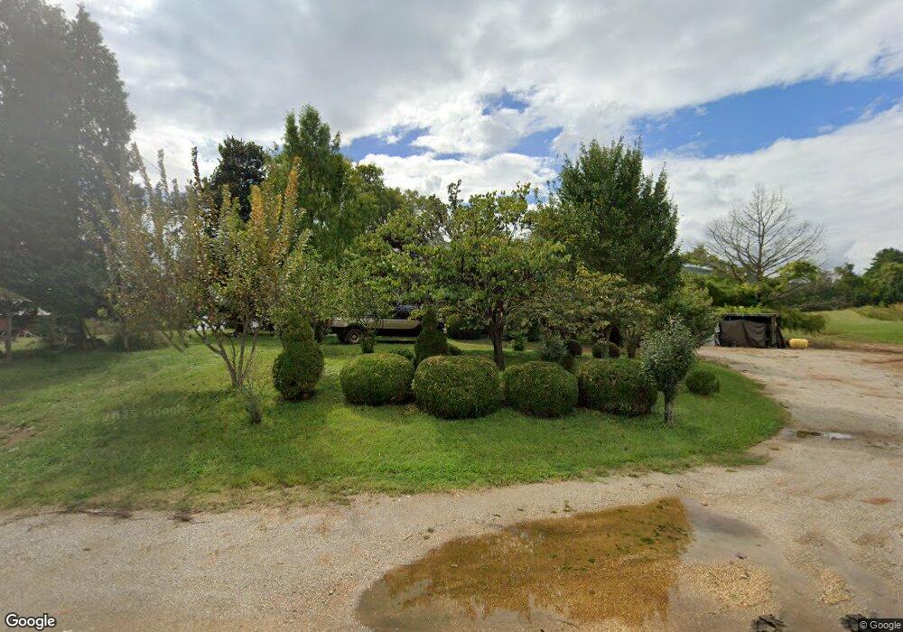
6726 Beersheba Hwy McMinnville, TN 37110
Estimated Value: $351,000 - $1,499,007
--
Bed
1
Bath
1,844
Sq Ft
$502/Sq Ft
Est. Value
About This Home
This home is located at 6726 Beersheba Hwy, McMinnville, TN 37110 and is currently estimated at $925,004, approximately $501 per square foot. 6726 Beersheba Hwy is a home located in Warren County with nearby schools including Irving College Elementary School, Warren County High School, and Westwood Day School.
Ownership History
Date
Name
Owned For
Owner Type
Purchase Details
Closed on
May 5, 2025
Sold by
Lentz Loreta Rigsby and Boyd Carl
Bought by
Lentz Eleanor and Lentz Loreta Rigsby
Current Estimated Value
Purchase Details
Closed on
Feb 4, 2020
Sold by
Boyd Dennis W
Bought by
Boyd Carl B
Purchase Details
Closed on
Jul 23, 2005
Sold by
Thomas Lentz
Bought by
Lentz J D J and Lentz Loreta
Purchase Details
Closed on
Jun 25, 2004
Sold by
Harold Lentz
Bought by
Lentz J D J and Lentz Loretta
Create a Home Valuation Report for This Property
The Home Valuation Report is an in-depth analysis detailing your home's value as well as a comparison with similar homes in the area
Home Values in the Area
Average Home Value in this Area
Purchase History
| Date | Buyer | Sale Price | Title Company |
|---|---|---|---|
| Lentz Eleanor | -- | Access Title & Escrow | |
| Lentz Eleanor | -- | Access Title & Escrow | |
| Boyd Carl B | -- | -- | |
| Lentz J D J | $110,000 | -- | |
| Lentz J D J | $110,000 | -- |
Source: Public Records
Tax History Compared to Growth
Tax History
| Year | Tax Paid | Tax Assessment Tax Assessment Total Assessment is a certain percentage of the fair market value that is determined by local assessors to be the total taxable value of land and additions on the property. | Land | Improvement |
|---|---|---|---|---|
| 2024 | $2,154 | $109,475 | $92,150 | $17,325 |
| 2023 | $2,154 | $109,475 | $92,150 | $17,325 |
| 2022 | $2,154 | $109,475 | $92,150 | $17,325 |
| 2021 | $2,154 | $109,475 | $92,150 | $17,325 |
| 2020 | $1,867 | $109,475 | $92,150 | $17,325 |
| 2019 | $2,134 | $94,975 | $82,400 | $12,575 |
| 2018 | $1,867 | $94,975 | $82,400 | $12,575 |
| 2017 | $1,867 | $94,975 | $82,400 | $12,575 |
| 2016 | $1,867 | $94,975 | $82,400 | $12,575 |
| 2015 | $1,895 | $94,975 | $82,400 | $12,575 |
| 2014 | $1,489 | $94,975 | $82,400 | $12,575 |
| 2013 | $1,489 | $74,612 | $0 | $0 |
Source: Public Records
Map
Nearby Homes
- 0 Safley Hollow Rd
- 735 Northcutt Cove Rd
- 770 Hill Rd
- 400 Collins Run
- 0 Collins Run Unit RTC2986421
- 161 Collins Run
- 250 Justin Ln
- 199 Cojohodo Ct
- 2548 Stone Man Rd
- 3216 Beersheba Hwy
- 00 Wildwood Rd
- 0 Long Mountain Rd Unit RTC3015137
- 7 Long Mountain Rd
- 0 Big Sink Rd
- 0 Wash Roberts Rd Unit RTC2791678
- 0 Bluff Line Dr
- 1 Rattlesnake Rd
- 8.75 AC Rattlesnake Rd
- 86 Woodlee Trail
- 0 Shellsford Rd Unit RTC2904668
- 6666 Beersheba Hwy
- 6794 Beersheba Hwy
- 6643 Beersheba Hwy
- 6605 Beersheba Hwy
- 49 Smartt Ln
- 30 Smartt Ln
- 306 Smartt Ln
- 6541 Beersheba Hwy
- 6931 Beersheba Hwy
- 6510 Beersheba Hwy
- 6528 Beersheba Hwy Unit 6510
- 423 Smartt Station Rd
- 473 Smartt Ln
- 6455 Beersheba Hwy
- 6396 Beersheba Hwy
- 160 Kesey Ford Rd
- 6342 Beersheba Hwy
- 334 Kesey Ford Rd
- 183 Summer View Ln
- 6320 Beersheba Hwy
