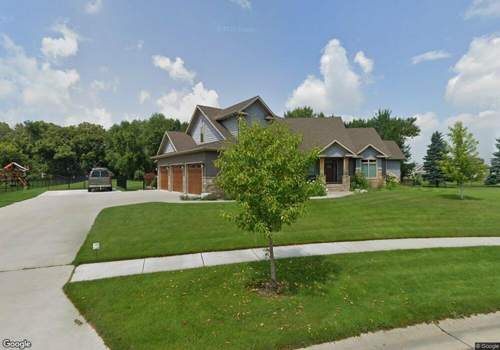
6727 Ashwood Loop Fargo, ND 58104
Deer Creek NeighborhoodEstimated Value: $731,000 - $1,252,000
6
Beds
6
Baths
5,721
Sq Ft
$174/Sq Ft
Est. Value
About This Home
This home is located at 6727 Ashwood Loop, Fargo, ND 58104 and is currently estimated at $995,172, approximately $173 per square foot. 6727 Ashwood Loop is a home located in Cass County with nearby schools including Deer Creek Elementary School, Liberty Middle School, and West Fargo Sheyenne High School.
Ownership History
Date
Name
Owned For
Owner Type
Purchase Details
Closed on
Aug 31, 2015
Sold by
Jordahl Custom Homes Inc
Bought by
Duchscher John and Duchscher Ann
Current Estimated Value
Create a Home Valuation Report for This Property
The Home Valuation Report is an in-depth analysis detailing your home's value as well as a comparison with similar homes in the area
Home Values in the Area
Average Home Value in this Area
Purchase History
| Date | Buyer | Sale Price | Title Company |
|---|---|---|---|
| Duchscher John | -- | Title Co | |
| Jordahl Custom Homes Inc | $130,000 | Title Co |
Source: Public Records
Tax History
| Year | Tax Paid | Tax Assessment Tax Assessment Total Assessment is a certain percentage of the fair market value that is determined by local assessors to be the total taxable value of land and additions on the property. | Land | Improvement |
|---|---|---|---|---|
| 2024 | $19,609 | $463,000 | $89,300 | $373,700 |
| 2023 | $19,193 | $451,050 | $79,200 | $371,850 |
| 2022 | $18,199 | $410,050 | $79,200 | $330,850 |
| 2021 | $18,303 | $410,050 | $79,200 | $330,850 |
| 2020 | $18,160 | $410,050 | $79,200 | $330,850 |
| 2019 | $18,032 | $410,050 | $49,500 | $360,550 |
| 2018 | $16,906 | $381,800 | $56,550 | $325,250 |
| 2017 | $14,796 | $311,850 | $44,200 | $267,650 |
| 2016 | $8,566 | $163,400 | $44,200 | $119,200 |
| 2015 | $3,919 | $550 | $550 | $0 |
| 2014 | $629 | $550 | $550 | $0 |
Source: Public Records
Map
Nearby Homes
- 6562 56th Ave S
- 6137 68th St S
- 6204 56th Ave S
- 6279 59th Ave S
- 8314 62nd St S
- 8536 62nd St S
- 8450 62nd St S
- 8370 62nd St S
- 8520 62nd St S
- 8544 62nd St S
- 8528 62nd St S
- 8338 62nd St S
- 8306 62nd St S
- 8434 62nd St S
- 8402 62nd St S
- 8386 62nd St S
- 8322 62nd St S
- 8618 62nd St S
- 8634 62nd St S
- 8442 62nd St S
- 6727 Ashwood Loop S
- 6719 Ashwood Loop
- 6728 Ashwood Loop
- 6711 Ashwood Loop
- 6712 Ashwood Loop S
- 6712 Ashwood Loop
- 6735 Ashwood Loop
- 6740 Ashwood Loop S
- 6740 Ashwood Loop
- 5485 Grayland Dr S
- 6750 Ashwood Loop S
- 6750 Ashwood Loop
- 5663 67th St S
- 5463 Grayland Dr S
- Lot 2 Walnut River Estates
- 6755 Ashwood Loop
- 6760 Ashwood Loop S
- 6741 Ashwood Loop S
- 6741 Ashwood Loop
- 6760 Ashwood Loop
Your Personal Tour Guide
Ask me questions while you tour the home.