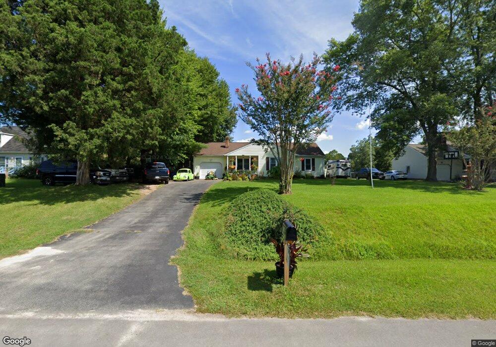
6727 Kimberly Dr Gloucester, VA 23061
Ware Neck NeighborhoodEstimated Value: $284,000 - $301,000
3
Beds
2
Baths
1,170
Sq Ft
$249/Sq Ft
Est. Value
About This Home
This home is located at 6727 Kimberly Dr, Gloucester, VA 23061 and is currently estimated at $290,881, approximately $248 per square foot. 6727 Kimberly Dr is a home located in Gloucester County with nearby schools including Botetourt Elementary School, Peasley Middle School, and Gloucester High School.
Ownership History
Date
Name
Owned For
Owner Type
Purchase Details
Closed on
Nov 25, 2019
Sold by
Wilcox Christopher P and Wilcox Kami D
Bought by
Reinshagen Horst T
Current Estimated Value
Home Financials for this Owner
Home Financials are based on the most recent Mortgage that was taken out on this home.
Original Mortgage
$181,550
Outstanding Balance
$160,125
Interest Rate
3.62%
Mortgage Type
FHA
Estimated Equity
$130,756
Purchase Details
Closed on
Oct 8, 2010
Sold by
Cox Alma P
Bought by
Wilcox Christopher P and Keele Kami D
Home Financials for this Owner
Home Financials are based on the most recent Mortgage that was taken out on this home.
Original Mortgage
$162,807
Interest Rate
4.37%
Mortgage Type
FHA
Create a Home Valuation Report for This Property
The Home Valuation Report is an in-depth analysis detailing your home's value as well as a comparison with similar homes in the area
Home Values in the Area
Average Home Value in this Area
Purchase History
| Date | Buyer | Sale Price | Title Company |
|---|---|---|---|
| Reinshagen Horst T | $184,900 | Rocket Title Inc | |
| Wilcox Christopher P | $165,000 | -- |
Source: Public Records
Mortgage History
| Date | Status | Borrower | Loan Amount |
|---|---|---|---|
| Open | Reinshagen Horst T | $181,550 | |
| Previous Owner | Wilcox Christopher P | $162,807 |
Source: Public Records
Tax History
| Year | Tax Paid | Tax Assessment Tax Assessment Total Assessment is a certain percentage of the fair market value that is determined by local assessors to be the total taxable value of land and additions on the property. | Land | Improvement |
|---|---|---|---|---|
| 2025 | $1,352 | $220,240 | $59,550 | $160,690 |
| 2024 | $1,352 | $220,240 | $59,550 | $160,690 |
| 2023 | $1,284 | $220,240 | $59,550 | $160,690 |
| 2022 | $1,248 | $172,080 | $53,430 | $118,650 |
| 2021 | $1,196 | $172,080 | $53,430 | $118,650 |
| 2020 | $1,196 | $172,080 | $53,430 | $118,650 |
| 2019 | $1,099 | $158,190 | $55,550 | $102,640 |
| 2017 | $1,099 | $158,190 | $55,550 | $102,640 |
| 2016 | $1,109 | $159,620 | $55,550 | $104,070 |
| 2015 | $1,085 | $175,700 | $48,000 | $127,700 |
| 2014 | $1,142 | $175,700 | $48,000 | $127,700 |
Source: Public Records
Map
Nearby Homes
- Lot 14 Gary Ct
- 6606 Kimberly Dr
- 6769 Cedar Lake Dr
- 6851 Cedar Lake Dr
- 6514 Wyncote Ave
- 6330 Kelly's Place
- 6319 Kellys Place
- Lot 12 Kelly's Place
- Lot 8 Kelly's Place
- 6392 Main St
- 6891 Fairview St
- LOT 12 Kellys Place
- 6274 Old Gloucester Way
- 6556 Joyners Ln
- 7218 Clements Ave
- 8205 Sheffield Dr
- 7230 Duval Ave
- 13+ac George Washington Memorial Hwy
- 0 Indian Rd
- 7107 Lord Carrington Dr
- 6737 Kimberly Dr
- 6717 Kimberly Dr
- 6745 Kimberly Dr
- 6707 Kimberly Dr
- 6746 Holly Springs Dr
- 6736 Holly Springs Dr
- 6756 Holly Springs Dr
- 6720 Kimberly Dr
- 6732 Kimberly Dr
- 6726 Holly Springs Dr
- 6726 Holly Springs Dr Unit DR
- 7733 Curtis Dr
- 7724 Rob Ln
- 6755 Kimberly Dr
- 6697 Kimberly Dr
- 6766 Holly Springs Dr
- 6716 Holly Springs Dr
- 6776 Holly Springs Dr
- 7721 Rob Ln
- 6685 Kimberly Dr
Your Personal Tour Guide
Ask me questions while you tour the home.