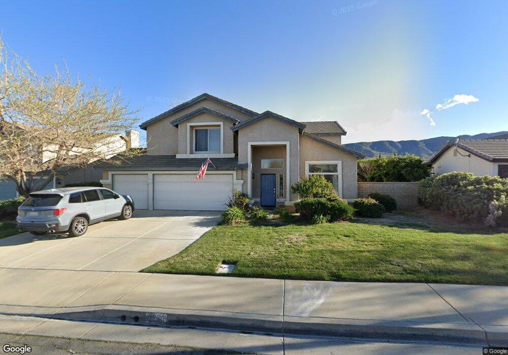
6728 Teasdale St Lancaster, CA 93536
West Lancaster NeighborhoodEstimated Value: $630,000 - $642,280
4
Beds
3
Baths
2,676
Sq Ft
$237/Sq Ft
Est. Value
About This Home
This home is located at 6728 Teasdale St, Lancaster, CA 93536 and is currently estimated at $633,570, approximately $236 per square foot. 6728 Teasdale St is a home located in Los Angeles County with nearby schools including Sundown Elementary School, Joe Walker Middle School, and Quartz Hill High School.
Ownership History
Date
Name
Owned For
Owner Type
Purchase Details
Closed on
Oct 8, 2024
Sold by
Hucke Robert L
Bought by
Robert L Hucke 2024 Family Trust and Hucke
Current Estimated Value
Purchase Details
Closed on
Aug 27, 1996
Sold by
Beazer Homes Holdings Corp
Bought by
Hucke Robert L and Hucke Patricia R
Home Financials for this Owner
Home Financials are based on the most recent Mortgage that was taken out on this home.
Original Mortgage
$161,000
Interest Rate
8.23%
Create a Home Valuation Report for This Property
The Home Valuation Report is an in-depth analysis detailing your home's value as well as a comparison with similar homes in the area
Home Values in the Area
Average Home Value in this Area
Purchase History
| Date | Buyer | Sale Price | Title Company |
|---|---|---|---|
| Robert L Hucke 2024 Family Trust | -- | None Listed On Document | |
| Hucke Robert L | $166,000 | Investors Title Company |
Source: Public Records
Mortgage History
| Date | Status | Borrower | Loan Amount |
|---|---|---|---|
| Previous Owner | Hucke Robert L | $161,000 |
Source: Public Records
Tax History Compared to Growth
Tax History
| Year | Tax Paid | Tax Assessment Tax Assessment Total Assessment is a certain percentage of the fair market value that is determined by local assessors to be the total taxable value of land and additions on the property. | Land | Improvement |
|---|---|---|---|---|
| 2025 | $5,363 | $322,126 | $48,844 | $273,282 |
| 2024 | $5,363 | $315,811 | $47,887 | $267,924 |
| 2023 | $5,307 | $309,620 | $46,949 | $262,671 |
| 2022 | $5,089 | $303,550 | $46,029 | $257,521 |
| 2021 | $4,666 | $297,599 | $45,127 | $252,472 |
| 2019 | $4,552 | $288,775 | $43,790 | $244,985 |
| 2018 | $4,491 | $283,114 | $42,932 | $240,182 |
| 2016 | $4,250 | $272,122 | $41,266 | $230,856 |
| 2015 | $4,201 | $268,036 | $40,647 | $227,389 |
| 2014 | $4,176 | $262,786 | $39,851 | $222,935 |
Source: Public Records
Map
Nearby Homes
- 8150 Avenue L- 10
- 42058 Blueflax Ave
- 6608 Teasdale St
- 42257 Sand Palm Way
- 6558 Highbluff Way
- 42344 Camden Way
- 6533 W Avenue L-10
- 6727 Miramar Ln
- 42016 Silver Puffs Dr
- 42016 Silverpuffs Dr
- 42428 Camden Way
- 7005 Hartford Ln
- 41926 Bonita Dr
- 41858 Montana Dr
- 41843 Montana Dr
- 41831 Montana Dr
- 41819 Montana Dr
- 41812 Montana Dr
- 42164 Valley Vista Dr
- 42158 Valley Vista Dr
- 6736 Teasdale St
- 6720 Teasdale St
- 42204 Blueflax Ave
- 6744 Teasdale St
- 0 67th West & L-12 On Blueflax
- 6739 Teasdale St
- 6717 Teasdale St
- 6752 Teasdale St
- 6802 Teasdale St
- 42212 Blueflax Ave
- 42231 Blueflax Ave
- 6755 Teasdale St
- 42220 Blueflax Ave
- 6732 W Avenue l10
- 6724 W Avenue l10
- 6740 W Avenue l10
- 6724 Avenue L- 10
- 42228 Blueflax Ave
- 6810 Teasdale St
- 6748 W Avenue l10