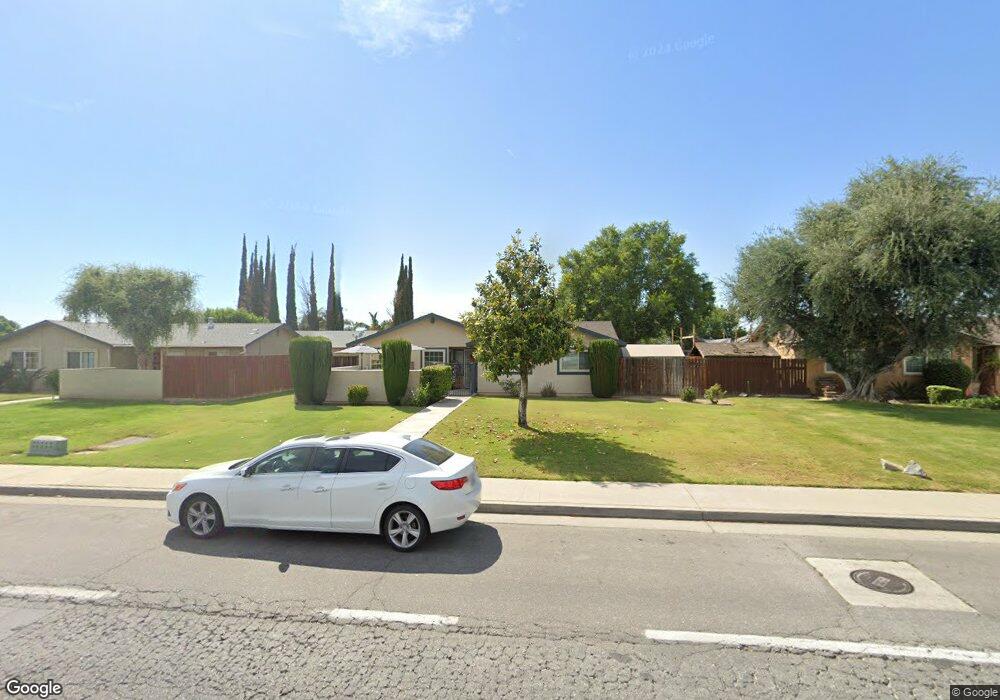
6729 Wilson Rd Bakersfield, CA 93309
Spice NeighborhoodEstimated Value: $319,000 - $350,000
3
Beds
2
Baths
1,186
Sq Ft
$283/Sq Ft
Est. Value
About This Home
This home is located at 6729 Wilson Rd, Bakersfield, CA 93309 and is currently estimated at $336,150, approximately $283 per square foot. 6729 Wilson Rd is a home located in Kern County with nearby schools including Leo B. Hart Elementary School, O.J. Actis Junior High School, and West High School.
Ownership History
Date
Name
Owned For
Owner Type
Purchase Details
Closed on
Aug 1, 2018
Sold by
Stith Stephen and Stith Laurie
Bought by
Stith Stephen 1
Current Estimated Value
Purchase Details
Closed on
Sep 19, 2011
Sold by
Olguin Guadalupe
Bought by
Stith Stephen and Stith Laurie
Home Financials for this Owner
Home Financials are based on the most recent Mortgage that was taken out on this home.
Original Mortgage
$45,500
Interest Rate
4.05%
Mortgage Type
Future Advance Clause Open End Mortgage
Create a Home Valuation Report for This Property
The Home Valuation Report is an in-depth analysis detailing your home's value as well as a comparison with similar homes in the area
Home Values in the Area
Average Home Value in this Area
Purchase History
| Date | Buyer | Sale Price | Title Company |
|---|---|---|---|
| Stith Stephen 1 | -- | None Available | |
| Stith Stephen | $70,000 | Placer Title Company |
Source: Public Records
Mortgage History
| Date | Status | Borrower | Loan Amount |
|---|---|---|---|
| Previous Owner | Stith Stephen | $45,500 |
Source: Public Records
Tax History Compared to Growth
Tax History
| Year | Tax Paid | Tax Assessment Tax Assessment Total Assessment is a certain percentage of the fair market value that is determined by local assessors to be the total taxable value of land and additions on the property. | Land | Improvement |
|---|---|---|---|---|
| 2025 | $3,221 | $290,700 | $71,400 | $219,300 |
| 2024 | $1,714 | $208,000 | $65,000 | $143,000 |
| 2023 | $1,714 | $84,500 | $30,176 | $54,324 |
| 2022 | $1,640 | $82,844 | $29,585 | $53,259 |
| 2021 | $1,540 | $81,220 | $29,005 | $52,215 |
| 2020 | $1,499 | $80,388 | $28,708 | $51,680 |
| 2019 | $1,478 | $80,388 | $28,708 | $51,680 |
| 2018 | $1,423 | $77,269 | $27,595 | $49,674 |
| 2017 | $1,402 | $75,754 | $27,054 | $48,700 |
| 2016 | $1,329 | $74,270 | $26,524 | $47,746 |
| 2015 | $1,314 | $73,155 | $26,126 | $47,029 |
| 2014 | $1,281 | $71,723 | $25,615 | $46,108 |
Source: Public Records
Map
Nearby Homes
- 5908 Chicory Dr
- 6610 Wilson Rd
- 3812 Curry Ct
- 3516 Sesame St
- 5309 Sage Dr
- 3816 Cinnamon Ct
- 3400 Waldport Ln
- 5209 Hartford Ave
- 5605 Arbor Ct
- 5812 Appletree Ln
- 6505 Vancouver Dr
- 6605 Yakima Way
- 5409 Peppertree Ln
- 5508 New Grove Ave
- 6708 Plaquemines Dr
- 5512 Appletree Ln
- 4905 Hartford Ave
- 3535 Stine Rd Unit 159
- 3535 Stine Rd Unit 69
- 3535 Stine Rd Unit 149