673 2nd Crown Point Rd Strafford, NH 03884
Estimated Value: $632,000 - $743,000
3
Beds
3
Baths
2,408
Sq Ft
$288/Sq Ft
Est. Value
About This Home
This home is located at 673 2nd Crown Point Rd, Strafford, NH 03884 and is currently estimated at $693,065, approximately $287 per square foot. 673 2nd Crown Point Rd is a home located in Strafford County with nearby schools including Strafford School and Coe-Brown Northwood Academy.
Ownership History
Date
Name
Owned For
Owner Type
Purchase Details
Closed on
Nov 6, 2024
Sold by
J W & Pamela J Dow Ret and Dow
Bought by
Murphy Lisa and Murphy James
Current Estimated Value
Home Financials for this Owner
Home Financials are based on the most recent Mortgage that was taken out on this home.
Original Mortgage
$541,200
Outstanding Balance
$535,772
Interest Rate
6.08%
Mortgage Type
Purchase Money Mortgage
Estimated Equity
$157,293
Purchase Details
Closed on
Nov 20, 1998
Sold by
Lund James N
Bought by
Dow Joseph and Dow Pamela
Create a Home Valuation Report for This Property
The Home Valuation Report is an in-depth analysis detailing your home's value as well as a comparison with similar homes in the area
Home Values in the Area
Average Home Value in this Area
Purchase History
| Date | Buyer | Sale Price | Title Company |
|---|---|---|---|
| Murphy Lisa | $660,000 | None Available | |
| Dow Joseph | $19,900 | -- | |
| Dow Joseph | $19,900 | -- |
Source: Public Records
Mortgage History
| Date | Status | Borrower | Loan Amount |
|---|---|---|---|
| Open | Murphy Lisa | $541,200 |
Source: Public Records
Tax History Compared to Growth
Tax History
| Year | Tax Paid | Tax Assessment Tax Assessment Total Assessment is a certain percentage of the fair market value that is determined by local assessors to be the total taxable value of land and additions on the property. | Land | Improvement |
|---|---|---|---|---|
| 2024 | $9,204 | $465,800 | $68,300 | $397,500 |
| 2023 | $8,683 | $465,800 | $68,300 | $397,500 |
| 2022 | $7,979 | $465,800 | $68,300 | $397,500 |
| 2021 | $8,674 | $469,900 | $68,300 | $401,600 |
| 2020 | $8,470 | $330,200 | $63,200 | $267,000 |
| 2019 | $7,750 | $330,200 | $63,200 | $267,000 |
| 2018 | $7,571 | $320,400 | $63,200 | $257,200 |
| 2016 | $6,809 | $320,400 | $63,200 | $257,200 |
| 2015 | $6,482 | $297,200 | $76,700 | $220,500 |
| 2014 | $6,883 | $297,200 | $76,700 | $220,500 |
| 2013 | -- | $297,300 | $76,700 | $220,600 |
| 2012 | $6,654 | $297,300 | $76,700 | $220,600 |
Source: Public Records
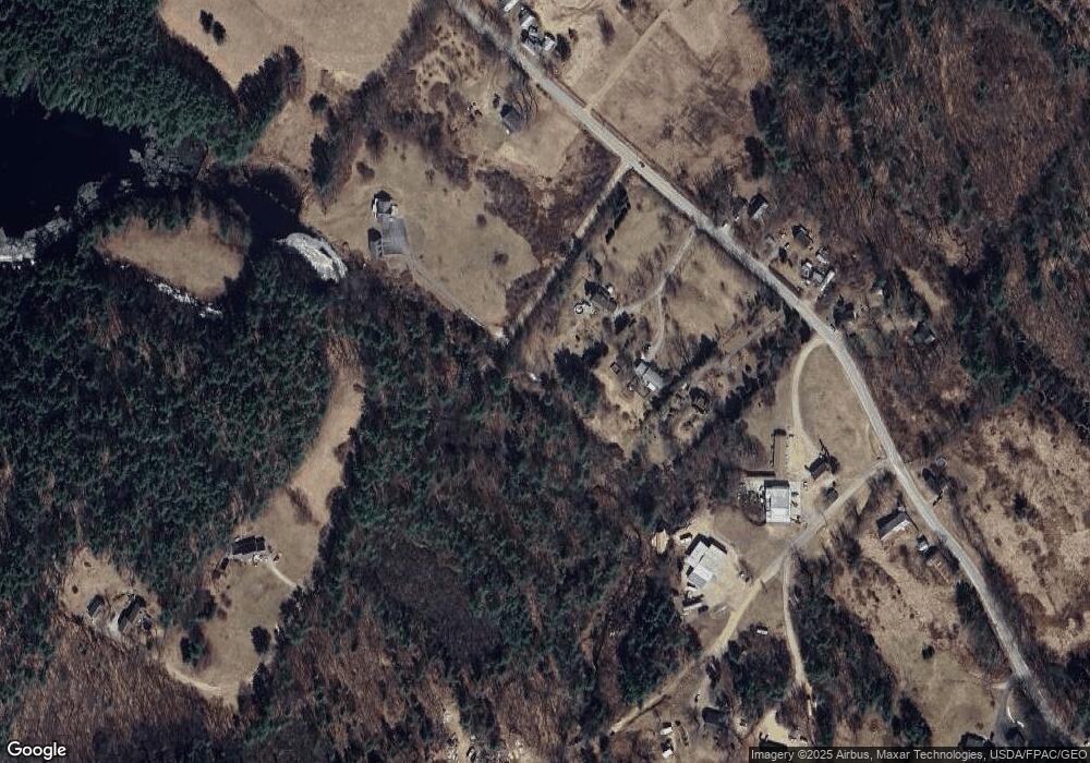
Map
Nearby Homes
- 825 Second Crown Point Rd
- 948 Strafford Rd
- 83 Sloper Rd
- 243 Second Crown Point Rd
- 0 Sloper Rd Unit 6
- 86 Long Shores Dr
- 68 Berry River Rd
- 0 Long Shores Dr Unit 5057687
- 38 Strafford Rd
- 57 Batchelder Ln
- 00 Squire Rd
- 8 King Arthur Dr
- TBD Merlin Rd
- 30 Avalon Rd
- 163 Estes Rd
- Map 220 Lot 16 Four Rod Rd
- 217-13 Washington St
- 212-0003-01 Washington St
- 207-002 Washington St
- 28-1 Range Rd
- 671 2nd Crown Point Rd
- 671 2nd Crown Point Rd
- 673 Second Crown Point Rd
- 659 2nd Crown Point Rd
- 670 2nd Crown Point Rd
- 695 Second Crown Point Rd
- 695 2nd Crown Point Rd
- 695 2nd Crown Point Rd
- 664 2nd Crown Point Rd
- 24 Old Gray Farm Rd
- 654 2nd Crown Point Rd
- 700 2nd Crown Point Rd
- 633-ABC 2nd Crown Point Rd
- 633-B 2nd Crown Point Rd
- 633-A 2nd Crown Point Rd
- 633A 2nd Crown Point Rd
- 633B 2nd Crown Point Rd
- 633-A Second Crown Point Rd
- 633 2nd Crown Point Rd
- 633 2nd Crown Point Rd