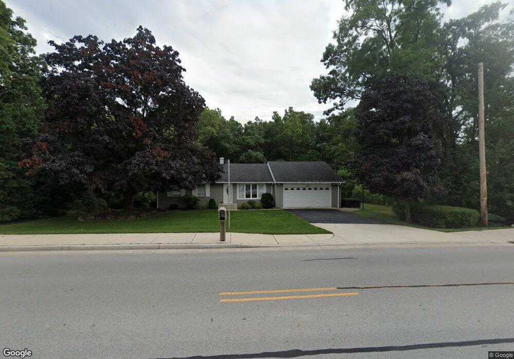
673 E Burrell Dr Crown Point, IN 46307
Estimated Value: $326,481 - $435,000
3
Beds
3
Baths
3,774
Sq Ft
$100/Sq Ft
Est. Value
About This Home
This home is located at 673 E Burrell Dr, Crown Point, IN 46307 and is currently estimated at $377,870, approximately $100 per square foot. 673 E Burrell Dr is a home located in Lake County with nearby schools including Dwight D. Eisenhower Elementary School, Robert Taft Middle School, and Crown Point High School.
Ownership History
Date
Name
Owned For
Owner Type
Purchase Details
Closed on
Nov 7, 2017
Sold by
Romanski Edward A and Romanski Kaker A
Bought by
City Of Crown Point Indiana
Current Estimated Value
Purchase Details
Closed on
Oct 1, 2017
Sold by
Romanski Edward A and Romanski Karen A
Bought by
The City Of Crown Point Indiana
Create a Home Valuation Report for This Property
The Home Valuation Report is an in-depth analysis detailing your home's value as well as a comparison with similar homes in the area
Home Values in the Area
Average Home Value in this Area
Purchase History
| Date | Buyer | Sale Price | Title Company |
|---|---|---|---|
| City Of Crown Point Indiana | -- | None Available | |
| The City Of Crown Point Indiana | $12,800 | None Available |
Source: Public Records
Tax History
| Year | Tax Paid | Tax Assessment Tax Assessment Total Assessment is a certain percentage of the fair market value that is determined by local assessors to be the total taxable value of land and additions on the property. | Land | Improvement |
|---|---|---|---|---|
| 2025 | $2,479 | $312,800 | $41,700 | $271,100 |
| 2024 | $5,706 | $297,000 | $41,700 | $255,300 |
| 2023 | $2,449 | $268,500 | $41,700 | $226,800 |
| 2022 | $2,449 | $246,800 | $41,700 | $205,100 |
| 2021 | $2,132 | $229,100 | $41,700 | $187,400 |
| 2020 | $2,182 | $223,500 | $41,700 | $181,800 |
| 2019 | $2,079 | $206,900 | $41,700 | $165,200 |
| 2018 | $2,029 | $226,200 | $41,700 | $184,500 |
| 2017 | $2,073 | $200,200 | $42,500 | $157,700 |
| 2016 | $2,048 | $197,400 | $42,500 | $154,900 |
| 2014 | $1,916 | $200,800 | $42,500 | $158,300 |
| 2013 | $1,916 | $200,800 | $42,500 | $158,300 |
Source: Public Records
Map
Nearby Homes
- 12819 Grant St
- 12938 Hayes St
- 244 Sawgrass Dr
- 347 Sawgrass Dr
- 10330 Privet Dr
- 246 Sawgrass Dr
- 248 Sawgrass Dr
- 809 W 126th Ct
- 1051 W 129th Ave
- 2184 W 129th Place
- 255 Nomo Place
- 12728 Ellsworth St
- 283 Nomo Place
- 2725 W 127th Ln
- 1191 Churchill Ln
- 1540 Brackenbury Ln
- 13085 Taft St
- 991 Greenview Dr
- 253 W 129th Ave Unit 1
- 903 S Main St
- 691 E Burrell Dr
- 665 E Burrell Dr
- 672 E Burrell Dr
- 696 E Burrell Dr
- 12512 Grant St
- 660 E Burrell Dr
- 691 Hemlock Dr
- 12520 Grant St
- 648 E Burrell Dr
- 698 E Burrell Dr
- 681 Hemlock Dr
- 667 Hemlock Dr
- 636 E Burrell Dr
- 12528 Grant St
- 1430 Hayes St
- 699 Hemlock Dr
- 1516 W 125th Ct
- 651 Hemlock Dr
- 1441 S Indiana Ave
- 1435 Hayes St
Your Personal Tour Guide
Ask me questions while you tour the home.