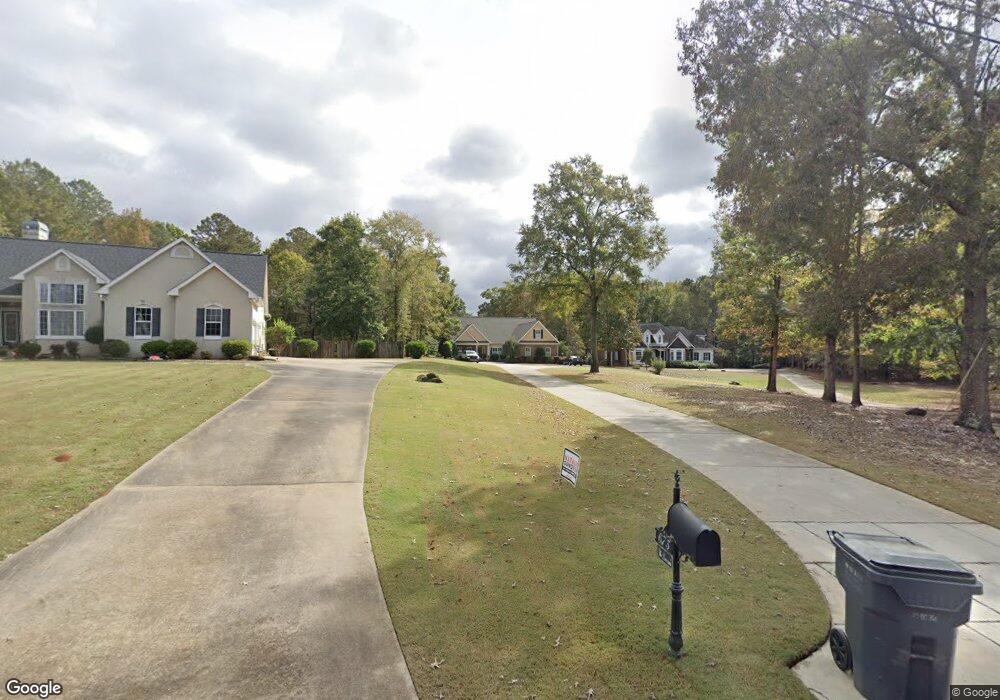
673 Saint Andrews Dr Jackson, GA 30233
Estimated Value: $457,000 - $563,000
--
Bed
2
Baths
2,738
Sq Ft
$182/Sq Ft
Est. Value
About This Home
This home is located at 673 Saint Andrews Dr, Jackson, GA 30233 and is currently estimated at $498,147, approximately $181 per square foot. 673 Saint Andrews Dr is a home located in Butts County with nearby schools including Jackson High School.
Ownership History
Date
Name
Owned For
Owner Type
Purchase Details
Closed on
Sep 8, 2006
Sold by
Patterson Joseph
Bought by
Duncum Franklin Scott
Current Estimated Value
Home Financials for this Owner
Home Financials are based on the most recent Mortgage that was taken out on this home.
Original Mortgage
$257,400
Outstanding Balance
$153,311
Interest Rate
6.52%
Mortgage Type
New Conventional
Estimated Equity
$344,836
Purchase Details
Closed on
Feb 24, 2006
Sold by
Not Provided
Bought by
Duncum Franklin Scott
Create a Home Valuation Report for This Property
The Home Valuation Report is an in-depth analysis detailing your home's value as well as a comparison with similar homes in the area
Home Values in the Area
Average Home Value in this Area
Purchase History
| Date | Buyer | Sale Price | Title Company |
|---|---|---|---|
| Duncum Franklin Scott | $286,000 | -- | |
| Duncum Franklin Scott | $35,000 | -- |
Source: Public Records
Mortgage History
| Date | Status | Borrower | Loan Amount |
|---|---|---|---|
| Open | Duncum Franklin Scott | $257,400 |
Source: Public Records
Tax History Compared to Growth
Tax History
| Year | Tax Paid | Tax Assessment Tax Assessment Total Assessment is a certain percentage of the fair market value that is determined by local assessors to be the total taxable value of land and additions on the property. | Land | Improvement |
|---|---|---|---|---|
| 2024 | $4,712 | $207,365 | $15,960 | $191,405 |
| 2023 | $4,956 | $197,978 | $15,960 | $182,018 |
| 2022 | $4,575 | $170,606 | $12,000 | $158,606 |
| 2021 | $4,536 | $158,158 | $12,000 | $146,158 |
| 2020 | $4,585 | $153,963 | $12,000 | $141,963 |
| 2019 | $3,627 | $126,337 | $12,000 | $114,337 |
| 2018 | $3,571 | $119,363 | $12,000 | $107,363 |
| 2017 | $3,525 | $115,823 | $12,000 | $103,823 |
| 2016 | $3,440 | $114,223 | $10,400 | $103,823 |
| 2015 | $2,837 | $110,272 | $10,400 | $99,872 |
| 2014 | $2,823 | $87,387 | $10,400 | $76,987 |
Source: Public Records
Map
Nearby Homes
- 480 Hickory Ridge Rd
- 0 Morningside Ct Unit 10557547
- 330 James Moore Cir
- 1375 Highway 42 S
- 14 Weaver St
- 119 Taylor Rd
- 908 Nelson St
- 144 Blake Ave
- 347 Ww Carr Ave
- 544 Franklin St
- 742 Joy St
- 596 Kay St
- 474 Grand Magnolia St
- 476 Grand Magnolia St
- 478 Grand Magnolia St
- 480 Grand Magnolia St
- 471 Grand Magnolia St
- 473 Grand Magnolia St
- 498 Grand Magnolia St
- 661 Saint Andrews Dr
- 675 Saint Andrews Dr
- 649 St Andrews Dr
- 649 Saint Andrews Dr
- 621 Saint Andrews Dr
- 650 Saint Andrews Dr
- 759 Hickory Ridge Rd
- 650 St Andrews Dr
- 601 St Andrews Dr
- 0 St Andrews Unit 8995852
- 0 St Andrews Unit Lot 23 8668229
- 602 Saint Andrews Dr
- 574 Saint Andrews Dr
- 543 St Andrews Dr
- 543 Saint Andrews Dr Unit 15
- 543 Saint Andrews Dr
- 543 St Andrews Dr Unit 15
- 615 Hickory Ridge Rd
- 546 Saint Andrews Dr
- 546 St Andrews Dr