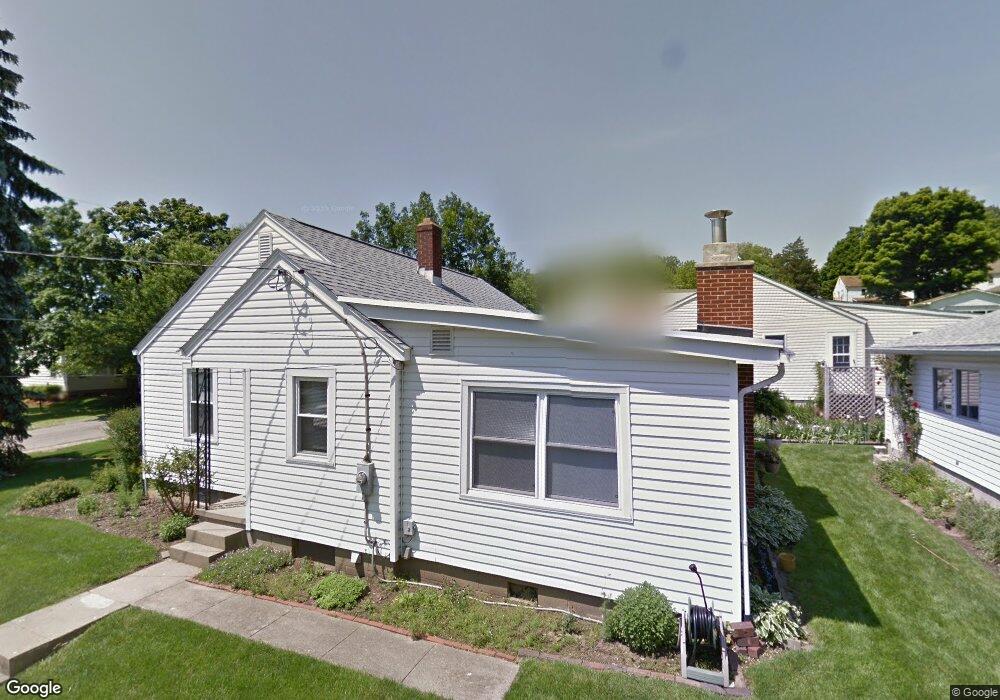
673 Smithfield Ave Lancaster, OH 43130
Estimated Value: $213,000 - $241,000
2
Beds
1
Bath
1,218
Sq Ft
$184/Sq Ft
Est. Value
About This Home
This home is located at 673 Smithfield Ave, Lancaster, OH 43130 and is currently estimated at $224,619, approximately $184 per square foot. 673 Smithfield Ave is a home located in Fairfield County with nearby schools including Thomas Ewing Junior High School, Lancaster High School, and St Mary Elementary School.
Ownership History
Date
Name
Owned For
Owner Type
Purchase Details
Closed on
Jun 29, 2016
Sold by
Miller Seth and Estate Of Elizabeth A Fagan
Bought by
Wooley William A and Bradley Wooley Kimberly A
Current Estimated Value
Home Financials for this Owner
Home Financials are based on the most recent Mortgage that was taken out on this home.
Original Mortgage
$90,333
Outstanding Balance
$72,977
Interest Rate
4.37%
Mortgage Type
FHA
Estimated Equity
$151,642
Create a Home Valuation Report for This Property
The Home Valuation Report is an in-depth analysis detailing your home's value as well as a comparison with similar homes in the area
Home Values in the Area
Average Home Value in this Area
Purchase History
We collect this data history from publicly available records. To have your information removed, we recommend requesting removal directly through your county’s website.
| Date | Buyer | Sale Price | Title Company |
|---|---|---|---|
| Wooley William A | $133,000 | None Available |
Source: Public Records
Mortgage History
We collect this data history from publicly available records. To have your information removed, we recommend requesting removal directly through your county’s website.
| Date | Status | Borrower | Loan Amount |
|---|---|---|---|
| Open | Wooley William A | $90,333 |
Source: Public Records
Tax History
| Year | Tax Paid | Tax Assessment Tax Assessment Total Assessment is a certain percentage of the fair market value that is determined by local assessors to be the total taxable value of land and additions on the property. | Land | Improvement |
|---|---|---|---|---|
| 2025 | $4,600 | $69,840 | $17,710 | $52,130 |
| 2024 | $4,600 | $51,170 | $12,140 | $39,030 |
| 2023 | $1,861 | $51,170 | $12,140 | $39,030 |
| 2022 | $1,869 | $51,170 | $12,140 | $39,030 |
| 2021 | $1,502 | $38,530 | $10,170 | $28,360 |
| 2020 | $1,439 | $38,530 | $10,170 | $28,360 |
| 2019 | $1,368 | $38,530 | $10,170 | $28,360 |
| 2018 | $1,094 | $30,780 | $10,170 | $20,610 |
| 2017 | $1,095 | $29,270 | $8,660 | $20,610 |
| 2016 | $1,066 | $29,270 | $8,660 | $20,610 |
| 2015 | $739 | $28,440 | $8,660 | $19,780 |
| 2014 | $704 | $28,440 | $8,660 | $19,780 |
| 2013 | $704 | $28,440 | $8,660 | $19,780 |
Source: Public Records
Map
Nearby Homes
- 901 Madison Ave
- 835 Madison Ave
- 810 N Eastwood Ave
- 1159 Stone Run Ct
- 712 N Mount Pleasant Ave
- 545 Frederick St N
- 718 Oakwood Ave
- 17 Red Bud Ln
- 701 Franklin Ave
- 612 Oakwood Ave
- 811 Medill Ave
- 514 N Eastwood Ave
- 701 Harding Ave
- 516 N Eastwood Ave
- 617 N Maple St
- 615 E 5th Ave
- 1123 N High St
- 610 E 5th Ave
- 917 E 5th Ave
- 806 N High St
- 1001 Madison Ave
- 1005 Madison Ave
- 945 Madison Ave
- 669 Smithfield Ave
- 941 Madison Ave
- 941 NE Madison
- 672 Smithfield Ave
- 1000 Madison Ave
- 1006 Madison Ave
- 665 Smithfield Ave
- 937 Madison Ave
- 1010 Madison Ave
- 668 Smithfield Ave
- 944 Madison Ave
- 659 Smithfield Ave
- 940 Madison Ave
- 933 Madison Ave
- 936 Madison Ave
- 655 Smithfield Ave
- 719 Smithfield Ave
Your Personal Tour Guide
Ask me questions while you tour the home.