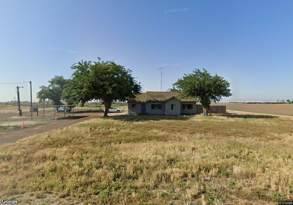
6730 W Harding Rd Turlock, CA 95380
Estimated Value: $962,000 - $1,700,690
4
Beds
2
Baths
1,908
Sq Ft
$698/Sq Ft
Est. Value
About This Home
This home is located at 6730 W Harding Rd, Turlock, CA 95380 and is currently estimated at $1,331,345, approximately $697 per square foot. 6730 W Harding Rd is a home located in Stanislaus County with nearby schools including Chatom Elementary School, Mountain View Middle School, and Marvin A. Dutcher Middle School.
Ownership History
Date
Name
Owned For
Owner Type
Purchase Details
Closed on
Dec 21, 2021
Sold by
Alvares Melissa M and Margarida Silva Reis Trust
Bought by
G & C Silva Family Partnership Lp
Current Estimated Value
Home Financials for this Owner
Home Financials are based on the most recent Mortgage that was taken out on this home.
Original Mortgage
$3,590,000
Outstanding Balance
$3,301,858
Interest Rate
3.11%
Mortgage Type
Commercial
Estimated Equity
-$1,970,513
Purchase Details
Closed on
Mar 20, 2012
Sold by
Reis Margarida S
Bought by
Alvares Melissa M
Create a Home Valuation Report for This Property
The Home Valuation Report is an in-depth analysis detailing your home's value as well as a comparison with similar homes in the area
Purchase History
| Date | Buyer | Sale Price | Title Company |
|---|---|---|---|
| G & C Silva Family Partnership Lp | $3,833,000 | Stewart Title Of Ca Inc | |
| Alvares Melissa M | -- | None Available |
Source: Public Records
Mortgage History
| Date | Status | Borrower | Loan Amount |
|---|---|---|---|
| Open | G & C Silva Family Partnership Lp | $3,590,000 |
Source: Public Records
Tax History
| Year | Tax Paid | Tax Assessment Tax Assessment Total Assessment is a certain percentage of the fair market value that is determined by local assessors to be the total taxable value of land and additions on the property. | Land | Improvement |
|---|---|---|---|---|
| 2025 | $12,060 | $942,734 | $641,722 | $301,012 |
| 2024 | $12,175 | $964,961 | $669,348 | $295,613 |
| 2023 | $12,203 | $968,067 | $678,747 | $289,320 |
| 2022 | $12,079 | $954,387 | $670,027 | $284,360 |
| 2021 | $8,988 | $729,454 | $495,265 | $234,189 |
| 2020 | $8,686 | $702,830 | $470,740 | $232,090 |
| 2019 | $8,410 | $674,952 | $447,368 | $227,584 |
| 2018 | $7,618 | $585,915 | $362,306 | $223,609 |
| 2017 | $7,065 | $542,257 | $322,511 | $219,746 |
| 2016 | $6,774 | $525,041 | $308,499 | $216,542 |
| 2015 | $6,758 | $519,857 | $305,573 | $214,284 |
| 2014 | $6,570 | $503,055 | $292,994 | $210,061 |
Source: Public Records
Map
Nearby Homes
- 4701 S Faith Home Rd
- 4930 S Faith Home Rd
- 1736 S Washington Rd
- 4207 W Linwood Ave
- 3601 W Simmons Rd
- 6425 S Prairie Flower Rd
- 607 S Tegner Rd
- 3918 S Kilroy Rd
- 2406 S Walnut Rd
- 2625 W Main St
- 3131 W Main St
- 8631 Mitchell Rd
- 1330 Dianne Dr
- 2175 W Main St
- 200 N Tully Rd
- 500 N Tully Rd
- 4012 W Tuolumne Rd
- 2631 Polous Dr
- 1065 Vermont Ave
- 2230 Aspenwood Dr
- 3107 S Faith Home Rd
- 3025 S Faith Home Rd
- 3100 S Prairie Flower Rd
- 3801 Newman Rd
- 0 Newman Rd
- 3107 S Prairie Flower Rd
- 2920 S Faith Home Rd
- 3630 S Prairie Flower Rd
- 3701 S Prairie Flower Rd
- 2601 S Faith Home Rd
- 3807 S Prairie Flower Rd
- 2401 Newman Rd
- 3426 S Commons Rd
- 2413 S Prairie Flower Rd
- 4125 S Faith Home Rd
- 2218 Newman Rd
- 7000 Levine Rd
- 4218 S Prairie Flower Rd
- 3113 S Commons Rd
- 3212 S Mitchell Rd
Your Personal Tour Guide
Ask me questions while you tour the home.