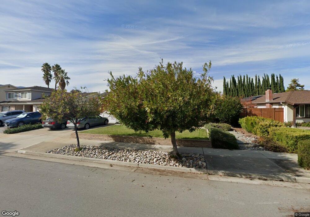
6731 Mount Leneve Dr San Jose, CA 95120
Shadow Brook NeighborhoodEstimated Value: $1,955,831 - $2,200,000
4
Beds
2
Baths
1,898
Sq Ft
$1,085/Sq Ft
Est. Value
About This Home
This home is located at 6731 Mount Leneve Dr, San Jose, CA 95120 and is currently estimated at $2,059,708, approximately $1,085 per square foot. 6731 Mount Leneve Dr is a home located in Santa Clara County with nearby schools including Graystone Elementary School, Bret Harte Middle School, and Leland High School.
Ownership History
Date
Name
Owned For
Owner Type
Purchase Details
Closed on
May 18, 2020
Sold by
Williams Larry J and Williams Family 1990 Trust
Bought by
Smith Patrick
Current Estimated Value
Home Financials for this Owner
Home Financials are based on the most recent Mortgage that was taken out on this home.
Original Mortgage
$1,120,000
Outstanding Balance
$986,787
Interest Rate
3%
Mortgage Type
New Conventional
Estimated Equity
$1,072,921
Purchase Details
Closed on
May 2, 2001
Sold by
Williams Lorna M
Bought by
Williams Lorna M
Create a Home Valuation Report for This Property
The Home Valuation Report is an in-depth analysis detailing your home's value as well as a comparison with similar homes in the area
Home Values in the Area
Average Home Value in this Area
Purchase History
| Date | Buyer | Sale Price | Title Company |
|---|---|---|---|
| Smith Patrick | $1,400,000 | Old Republic Title Company | |
| Williams Lorna M | -- | -- |
Source: Public Records
Mortgage History
| Date | Status | Borrower | Loan Amount |
|---|---|---|---|
| Open | Smith Patrick | $1,120,000 |
Source: Public Records
Tax History
| Year | Tax Paid | Tax Assessment Tax Assessment Total Assessment is a certain percentage of the fair market value that is determined by local assessors to be the total taxable value of land and additions on the property. | Land | Improvement |
|---|---|---|---|---|
| 2025 | $18,811 | $1,531,100 | $1,301,437 | $229,663 |
| 2024 | $18,811 | $1,501,079 | $1,275,919 | $225,160 |
| 2023 | $18,481 | $1,471,647 | $1,250,901 | $220,746 |
| 2022 | $18,323 | $1,442,792 | $1,226,374 | $216,418 |
| 2021 | $17,986 | $1,414,503 | $1,202,328 | $212,175 |
| 2020 | $2,823 | $129,232 | $31,872 | $97,360 |
| 2019 | $2,739 | $126,699 | $31,248 | $95,451 |
| 2018 | $2,691 | $124,216 | $30,636 | $93,580 |
| 2017 | $2,655 | $121,782 | $30,036 | $91,746 |
| 2016 | $2,518 | $119,396 | $29,448 | $89,948 |
| 2015 | $2,401 | $117,603 | $29,006 | $88,597 |
| 2014 | $1,984 | $115,300 | $28,438 | $86,862 |
Source: Public Records
Map
Nearby Homes
- 6805 Almaden Rd
- 6644 Mount Hope Dr
- 1156 Lansdale Ct
- 1111 Chicory Ct
- 6964 Lenwood Way
- 1036 Bret Cove Ct
- 20011 Graystone Ln
- 1182 Olive Branch Ln
- 951 Wallace Dr
- 1168 Valley Quail Cir
- 6448 Menlo Dr
- 1115 Bartlett Creek Ct
- 6380 Vegas Dr
- 6496 Sproul Ct
- 6512 Bose Ln
- 21287 Almaden Rd
- 20300 Almaden Rd
- 7111 Echo Loop
- 997 Wallace Dr
- 1136 Eagle Cliff Ct
- 6743 Mount Leneve Dr
- 6723 Mount Leneve Dr
- 6823 Trinidad Dr
- 6819 Trinidad Dr
- 6755 Mount Leneve Dr
- 6827 Trinidad Dr
- 6711 Mount Leneve Dr
- 6815 Trinidad Dr
- 6734 Mount Leneve Dr
- 6742 Mount Leneve Dr
- 6726 Mount Leneve Dr
- 6829 Trinidad Dr
- 6761 Mount Leneve Dr
- 6718 Mount Leneve Dr
- 6750 Mount Leneve Dr
- 6811 Trinidad Dr
- 6710 Mount Leneve Dr
- 6758 Mount Leneve Dr
- 6765 Mount Leneve Dr
- 6807 Trinidad Dr
Your Personal Tour Guide
Ask me questions while you tour the home.