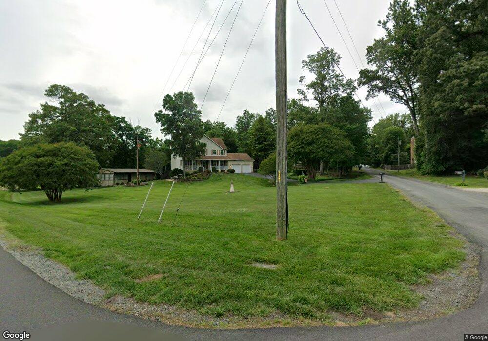
6735 Bessie Watson Ln Manassas, VA 20112
Estimated Value: $793,716 - $865,000
4
Beds
4
Baths
3,302
Sq Ft
$250/Sq Ft
Est. Value
About This Home
This home is located at 6735 Bessie Watson Ln, Manassas, VA 20112 and is currently estimated at $824,429, approximately $249 per square foot. 6735 Bessie Watson Ln is a home located in Prince William County with nearby schools including Coles Elementary School, Charles J. Colgan Senior High School, and Louise A. Benton Middle School.
Ownership History
Date
Name
Owned For
Owner Type
Purchase Details
Closed on
Dec 17, 2010
Sold by
Blackwell Edward T and Blackwell Adelgunde A
Bought by
Musselman Mark and Musselman Karen
Current Estimated Value
Home Financials for this Owner
Home Financials are based on the most recent Mortgage that was taken out on this home.
Original Mortgage
$384,750
Outstanding Balance
$256,130
Interest Rate
4.37%
Mortgage Type
New Conventional
Estimated Equity
$568,299
Create a Home Valuation Report for This Property
The Home Valuation Report is an in-depth analysis detailing your home's value as well as a comparison with similar homes in the area
Home Values in the Area
Average Home Value in this Area
Purchase History
| Date | Buyer | Sale Price | Title Company |
|---|---|---|---|
| Musselman Mark | $405,000 | Central Title |
Source: Public Records
Mortgage History
| Date | Status | Borrower | Loan Amount |
|---|---|---|---|
| Open | Musselman Mark | $384,750 |
Source: Public Records
Tax History Compared to Growth
Tax History
| Year | Tax Paid | Tax Assessment Tax Assessment Total Assessment is a certain percentage of the fair market value that is determined by local assessors to be the total taxable value of land and additions on the property. | Land | Improvement |
|---|---|---|---|---|
| 2025 | $6,856 | $728,100 | $213,100 | $515,000 |
| 2024 | $6,856 | $689,400 | $201,000 | $488,400 |
| 2023 | $6,747 | $648,400 | $187,800 | $460,600 |
| 2022 | $6,947 | $627,300 | $180,300 | $447,000 |
| 2021 | $6,496 | $533,300 | $153,900 | $379,400 |
| 2020 | $7,759 | $500,600 | $143,500 | $357,100 |
| 2019 | $7,859 | $507,000 | $146,400 | $360,600 |
| 2018 | $5,986 | $495,700 | $147,400 | $348,300 |
| 2017 | $5,482 | $445,200 | $147,400 | $297,800 |
| 2016 | $5,207 | $426,600 | $140,500 | $286,100 |
| 2015 | $5,369 | $462,000 | $151,400 | $310,600 |
| 2014 | $5,369 | $430,800 | $139,900 | $290,900 |
Source: Public Records
Map
Nearby Homes
- 13647 Van Doren Rd
- 13750 Ensenada Ct
- 14520 Idlebrook Ct
- 14452 Alps Dr
- 5833 Rhode Island Dr
- 5886 Rhode Island Dr
- 13305 Kahns Rd
- 5850 Anthony Dr
- 6757 John Mallard Dr
- 6131 Lost Colony Dr
- 6013 Pepco Ct
- 13454 Princedale Dr
- 6110 Oust Ln
- 13501 Photo Dr
- 13380 Packard Dr
- 5710 Rhode Island Dr
- 13289 Orangewood Dr
- 13183 Rettew Dr
- 5917 Moonbeam Dr
- 13235 Amblewood Dr
- 6765 Bessie Watson Ln
- 6793 Lochmere Dr
- 6730 Bessie Watson Ln
- 6760 Bessie Watson Ln
- 14041 Flagtree Place
- 14185 Van Doren Rd
- 14051 Wellman Ct
- 14189 Van Doren Rd
- 14035 Flagtree Place
- 14057 Wellman Ct
- 14193 Van Doren Rd
- 6795 Bessie Watson Ln
- 6790 Bessie Watson Ln
- 14063 Wellman Ct
- 14029 Flagtree Place
- 14040 Flagtree Place
- 14050 Wellman Ct
- 14197 Van Doren Rd
- 14036 Flagtree Place
- 14069 Wellman Ct