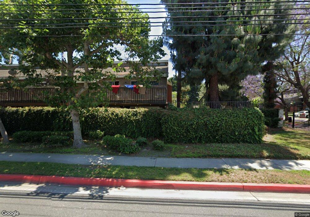
6737 Caro St Unit 49 Paramount, CA 90723
Estimated Value: $514,000 - $562,000
3
Beds
2
Baths
1,422
Sq Ft
$380/Sq Ft
Est. Value
About This Home
This home is located at 6737 Caro St Unit 49, Paramount, CA 90723 and is currently estimated at $540,792, approximately $380 per square foot. 6737 Caro St Unit 49 is a home located in Los Angeles County with nearby schools including Wesley Gaines School, Leona Jackson Middle School, and Paramount High School.
Ownership History
Date
Name
Owned For
Owner Type
Purchase Details
Closed on
May 13, 2004
Sold by
Blair Byron
Bought by
Miller Helen M and Lossing Karlis A
Current Estimated Value
Home Financials for this Owner
Home Financials are based on the most recent Mortgage that was taken out on this home.
Original Mortgage
$204,000
Outstanding Balance
$99,599
Interest Rate
6.09%
Mortgage Type
Purchase Money Mortgage
Estimated Equity
$441,193
Purchase Details
Closed on
Jul 28, 1998
Sold by
Bellis Alfred
Bought by
Blair Byron
Home Financials for this Owner
Home Financials are based on the most recent Mortgage that was taken out on this home.
Original Mortgage
$83,790
Interest Rate
6.93%
Mortgage Type
Purchase Money Mortgage
Purchase Details
Closed on
Mar 27, 1996
Sold by
Bellis Alfred
Bought by
Bellis Alfred
Create a Home Valuation Report for This Property
The Home Valuation Report is an in-depth analysis detailing your home's value as well as a comparison with similar homes in the area
Home Values in the Area
Average Home Value in this Area
Purchase History
| Date | Buyer | Sale Price | Title Company |
|---|---|---|---|
| Miller Helen M | $255,000 | -- | |
| Blair Byron | $90,000 | -- | |
| Bellis Alfred | -- | -- |
Source: Public Records
Mortgage History
| Date | Status | Borrower | Loan Amount |
|---|---|---|---|
| Open | Miller Helen M | $204,000 | |
| Previous Owner | Blair Byron | $83,790 |
Source: Public Records
Tax History
| Year | Tax Paid | Tax Assessment Tax Assessment Total Assessment is a certain percentage of the fair market value that is determined by local assessors to be the total taxable value of land and additions on the property. | Land | Improvement |
|---|---|---|---|---|
| 2025 | $4,696 | $362,532 | $201,457 | $161,075 |
| 2024 | $4,696 | $355,424 | $197,507 | $157,917 |
| 2023 | $4,608 | $348,456 | $193,635 | $154,821 |
| 2022 | $4,483 | $341,625 | $189,839 | $151,786 |
| 2021 | $4,376 | $334,927 | $186,117 | $148,810 |
| 2019 | $4,483 | $324,996 | $180,598 | $144,398 |
| 2018 | $4,202 | $318,624 | $177,057 | $141,567 |
| 2016 | $3,343 | $269,000 | $149,000 | $120,000 |
| 2015 | $2,923 | $243,500 | $135,200 | $108,300 |
| 2014 | $2,602 | $204,000 | $113,300 | $90,700 |
Source: Public Records
Map
Nearby Homes
- 6733 Caro St Unit 47
- 6882 Alondra Blvd Unit 26
- 6824 Marcelle St
- 15351 Orange Ave Unit 17
- 16600 Orange Ave Unit 146
- 16600 Orange Ave Unit 130
- 16600 Orange Ave Unit 48
- 15325 Orange Ave
- 16313 Hunsaker Ave
- 7229 Jackson St
- 16710 Orange Ave Unit L59
- 16710 Orange Ave Unit A1
- 6313 Rancho Parada Rd
- 15137 Gundry Ave Unit F
- 7032 Somerset Blvd
- 16601 Garfield Ave Unit 91
- 16601 Garfield Ave Unit 110
- 16707 Garfield Ave Unit 1806
- 6542 San Luis St
- 16511 Garfield Ave Unit D40
- 6802 Alondra Blvd Unit 38
- 6848 Alondra Blvd Unit 19
- 6868 Alondra Blvd Unit 1
- 6838 Alondra Blvd Unit 16
- 6810 Alondra Blvd Unit 42
- 6884 Alondra Blvd Unit 25
- 6836 Alondra Blvd Unit 13
- 6812 Alondra Blvd Unit 41
- 6830 Alondra Blvd Unit 30
- 6888 Alondra Blvd Unit 27
- 6816 Alondra Blvd Unit 3
- 6876 Alondra Blvd Unit 21
- 6858 Alondra Blvd Unit 8
- 6884 Alondra Blvd
- 6743 Caro St Unit 56
- 6745 Caro St Unit 55
- 6747 Caro St Unit 54
- 6749 Caro St Unit 53
- 6739 Caro St Unit 52
- 6735 Caro St Unit 50
Your Personal Tour Guide
Ask me questions while you tour the home.