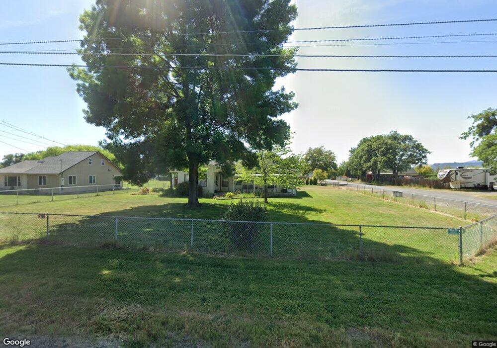
6739 Pinehurst St Central Point, OR 97502
Estimated Value: $322,133 - $398,000
3
Beds
1
Bath
1,475
Sq Ft
$244/Sq Ft
Est. Value
About This Home
This home is located at 6739 Pinehurst St, Central Point, OR 97502 and is currently estimated at $359,378, approximately $243 per square foot. 6739 Pinehurst St is a home located in Jackson County with nearby schools including Sams Valley Elementary School, Scenic Middle School, and Crater High School.
Ownership History
Date
Name
Owned For
Owner Type
Purchase Details
Closed on
Jun 3, 2022
Sold by
Brenda Inget
Bought by
Pearce Terrie and Pearce Robert C
Current Estimated Value
Purchase Details
Closed on
Jun 2, 2022
Sold by
Wendy Lovitt
Bought by
Pearce Terrie and Pearce Robert C
Purchase Details
Closed on
Jun 1, 2022
Sold by
Patterson Ii James C
Bought by
Pearce Terrie and Pearce Robert C
Purchase Details
Closed on
Mar 8, 2022
Sold by
Taylor Family Trust
Bought by
Pearce Terrie and Inget Brenda
Purchase Details
Closed on
Dec 4, 2014
Sold by
Taylor Herb and Taylor Laura
Bought by
Taylor Family Trust
Create a Home Valuation Report for This Property
The Home Valuation Report is an in-depth analysis detailing your home's value as well as a comparison with similar homes in the area
Purchase History
| Date | Buyer | Sale Price | Title Company |
|---|---|---|---|
| Pearce Terrie | $105,000 | None Listed On Document | |
| Pearce Terrie | $52,500 | None Listed On Document | |
| Pearce Terrie | -- | None Listed On Document | |
| Pearce Terrie | $97,000 | None Listed On Document | |
| Taylor Family Trust | -- | None Available |
Source: Public Records
Tax History
| Year | Tax Paid | Tax Assessment Tax Assessment Total Assessment is a certain percentage of the fair market value that is determined by local assessors to be the total taxable value of land and additions on the property. | Land | Improvement |
|---|---|---|---|---|
| 2026 | $2,265 | $185,540 | -- | -- |
| 2025 | $2,213 | $180,140 | $94,970 | $85,170 |
| 2024 | $2,213 | $174,900 | $57,960 | $116,940 |
| 2023 | $2,140 | $169,810 | $56,280 | $113,530 |
| 2022 | $2,094 | $169,810 | $56,280 | $113,530 |
| 2021 | $2,035 | $164,870 | $54,640 | $110,230 |
| 2020 | $1,975 | $160,070 | $53,050 | $107,020 |
| 2019 | $1,930 | $150,890 | $50,000 | $100,890 |
| 2018 | $1,870 | $146,500 | $48,540 | $97,960 |
| 2017 | $1,826 | $146,500 | $48,540 | $97,960 |
| 2016 | $1,772 | $138,100 | $45,750 | $92,350 |
| 2015 | $1,690 | $138,100 | $45,750 | $92,350 |
| 2014 | $1,650 | $130,180 | $43,110 | $87,070 |
Source: Public Records
Map
Nearby Homes
- 380 W Gregory Rd Unit 1
- 594 W Gregory Rd
- 6850 Downing Rd Unit 11
- 6850 Downing Rd Unit SPC 31
- 6850 Downing Rd Unit 7
- 6850 Downing Rd Unit 25
- 6850 Downing Rd Unit 65
- 1729 E Gregory Rd
- 225 Wilson Rd
- 549 Wilson Rd
- 2460 Jeremy St
- 1917 Bobcat Way
- 1921 Bobcat Way
- 1617 Tennessee Ln
- 10068 SE Pavati Dr Unit 37
- 9674 SE Pavati Dr Unit 41
- 10098 SE Pavati Dr Unit 36
- 9697 SE Pavati Dr Unit 27
- 9868 SE Pavati Dr Unit 40
- 1653 Kentucky Ct
- 6721 Pinehurst St
- 0 Pinehurst St
- 106 Laurelhurst St
- 6769 Pinehurst St
- 140 Laurelhurst St
- 6789 Pinehurst St
- 171 Laurelhurst St
- 57 Laurelhurst St
- 6708 Pinehurst St
- 6683 Pinehurst St
- 6740 Table Rock Rd
- 177 Laurelhurst St
- 100 Laurelhurst St
- 168 Laurelhurst St
- 6807 Pinehurst St
- 6704 Table Rock Rd
- 6663 Pinehurst St
- 6704 Pinehurst St
- 6664 Pinehurst St
- 25 Laurelhurst St
Your Personal Tour Guide
Ask me questions while you tour the home.