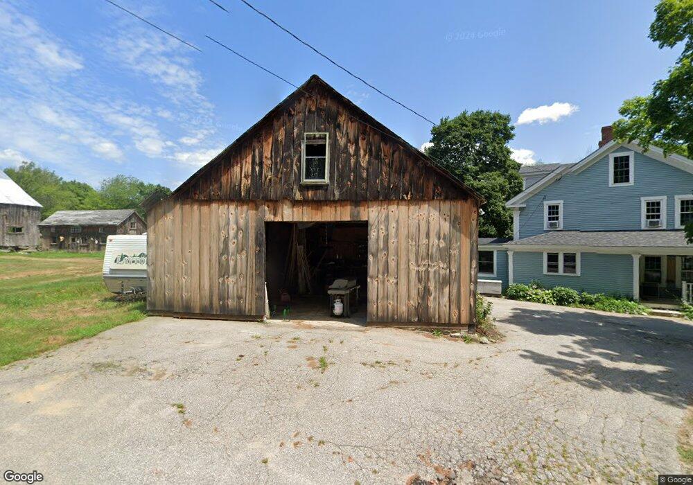
674 1st Crown Point Rd Strafford, NH 03884
Estimated Value: $651,766 - $1,037,000
4
Beds
2
Baths
2,600
Sq Ft
$293/Sq Ft
Est. Value
About This Home
This home is located at 674 1st Crown Point Rd, Strafford, NH 03884 and is currently estimated at $760,692, approximately $292 per square foot. 674 1st Crown Point Rd is a home located in Strafford County with nearby schools including Strafford School and Coe-Brown Northwood Academy.
Ownership History
Date
Name
Owned For
Owner Type
Purchase Details
Closed on
Feb 6, 2019
Sold by
Totten Ronald J and Totten Lanta B
Bought by
Totten Ft
Current Estimated Value
Home Financials for this Owner
Home Financials are based on the most recent Mortgage that was taken out on this home.
Original Mortgage
$333,500
Outstanding Balance
$213,587
Interest Rate
4.4%
Mortgage Type
New Conventional
Estimated Equity
$547,105
Purchase Details
Closed on
Oct 12, 2005
Sold by
Abels Cecil C and Abels Irene A
Bought by
Totten Ronald J and Totten Lanta Bice
Home Financials for this Owner
Home Financials are based on the most recent Mortgage that was taken out on this home.
Original Mortgage
$380,000
Interest Rate
5.78%
Create a Home Valuation Report for This Property
The Home Valuation Report is an in-depth analysis detailing your home's value as well as a comparison with similar homes in the area
Home Values in the Area
Average Home Value in this Area
Purchase History
| Date | Buyer | Sale Price | Title Company |
|---|---|---|---|
| Totten Ft | -- | -- | |
| Totten Ronald J | $529,000 | -- |
Source: Public Records
Mortgage History
| Date | Status | Borrower | Loan Amount |
|---|---|---|---|
| Open | Totten Ft | $333,500 | |
| Previous Owner | Totten Ronald J | $380,000 |
Source: Public Records
Tax History Compared to Growth
Tax History
| Year | Tax Paid | Tax Assessment Tax Assessment Total Assessment is a certain percentage of the fair market value that is determined by local assessors to be the total taxable value of land and additions on the property. | Land | Improvement |
|---|---|---|---|---|
| 2024 | $8,671 | $438,800 | $71,700 | $367,100 |
| 2023 | $8,179 | $438,800 | $71,700 | $367,100 |
| 2022 | $7,517 | $438,800 | $71,700 | $367,100 |
| 2021 | $8,191 | $443,700 | $71,700 | $372,000 |
| 2020 | $8,516 | $332,000 | $65,600 | $266,400 |
| 2019 | $7,792 | $332,000 | $65,600 | $266,400 |
| 2018 | $7,902 | $334,400 | $65,600 | $268,800 |
| 2016 | $7,106 | $334,400 | $65,600 | $268,800 |
| 2015 | $6,336 | $290,500 | $79,500 | $211,000 |
| 2014 | $6,728 | $290,500 | $79,500 | $211,000 |
| 2013 | $6,611 | $291,500 | $79,500 | $212,000 |
| 2012 | $6,524 | $291,500 | $79,500 | $212,000 |
Source: Public Records
Map
Nearby Homes
- 825 Second Crown Point Rd
- 1226 First Crown Point Rd
- 30 Avalon Rd
- 8 King Arthur Dr
- TBD Merlin Rd
- 00 Squire Rd
- 479 Ten Rod Rd
- 0 Strafford Rd Unit 5057984
- 948 Strafford Rd
- 22 Stonewall Dr
- 83 Sloper Rd
- 38 Strafford Rd
- Map 220 Lot 16 Four Rod Rd
- 0 Sloper Rd Unit 6
- 243 Second Crown Point Rd
- 86 Long Shores Dr
- 57 Batchelder Ln
- 68 Berry River Rd
- 210 Ten Rod Rd
- 0 Long Shores Dr Unit 5057687
- 0 First Crown Point Rd
- 692 1st Crown Point Rd
- 681 1st Crown Point Rd
- 705 1st Crown Point Rd
- 635 First Crown Point Rd
- 673 1st Crown Point Rd
- 651 First Crown Point Rd
- 651 1st Crown Point Rd
- 642 1st Crown Point Rd
- 642 1st Crown Point Rd
- 642 1st Crown Point Rd
- 722 1st Crown Point Rd
- 645 1st Crown Point Rd
- 636 1st Crown Point Rd
- 730 1st Crown Point Rd
- 736 1st Crown Point Rd
- 620 1st Crown Point Rd
- 620 1st Crown Point Rd
- 633 First Crown Point Rd
- 633 1st Crown Point Rd