674 Roper Rd Canton, GA 30115
Union Hill NeighborhoodEstimated Value: $858,714 - $1,293,000
4
Beds
3
Baths
3,026
Sq Ft
$343/Sq Ft
Est. Value
About This Home
This home is located at 674 Roper Rd, Canton, GA 30115 and is currently estimated at $1,036,929, approximately $342 per square foot. 674 Roper Rd is a home located in Cherokee County with nearby schools including Avery Elementary School, Creekland Middle School, and Creekview High School.
Ownership History
Date
Name
Owned For
Owner Type
Purchase Details
Closed on
Feb 27, 2002
Sold by
Loner Robert E and Loner Barbara E
Bought by
Engram Larry and Engram Robin
Current Estimated Value
Home Financials for this Owner
Home Financials are based on the most recent Mortgage that was taken out on this home.
Original Mortgage
$310,500
Outstanding Balance
$126,072
Interest Rate
6.95%
Mortgage Type
New Conventional
Estimated Equity
$910,857
Purchase Details
Closed on
Jan 5, 2000
Sold by
Washington W A
Bought by
Jurgensen Betty L
Create a Home Valuation Report for This Property
The Home Valuation Report is an in-depth analysis detailing your home's value as well as a comparison with similar homes in the area
Home Values in the Area
Average Home Value in this Area
Purchase History
| Date | Buyer | Sale Price | Title Company |
|---|---|---|---|
| Engram Larry | $345,000 | -- | |
| Jurgensen Betty L | -- | -- |
Source: Public Records
Mortgage History
| Date | Status | Borrower | Loan Amount |
|---|---|---|---|
| Open | Engram Larry | $310,500 |
Source: Public Records
Tax History
| Year | Tax Paid | Tax Assessment Tax Assessment Total Assessment is a certain percentage of the fair market value that is determined by local assessors to be the total taxable value of land and additions on the property. | Land | Improvement |
|---|---|---|---|---|
| 2025 | $7,394 | $305,312 | $154,280 | $151,032 |
| 2024 | $6,917 | $283,392 | $137,720 | $145,672 |
| 2023 | $6,055 | $263,072 | $114,760 | $148,312 |
| 2022 | $5,603 | $217,872 | $114,760 | $103,112 |
| 2021 | $5,146 | $183,472 | $101,000 | $82,472 |
| 2020 | $4,687 | $167,152 | $91,800 | $75,352 |
| 2019 | $4,624 | $164,960 | $91,800 | $73,160 |
| 2018 | $4,585 | $162,640 | $91,800 | $70,840 |
| 2017 | $4,420 | $403,600 | $91,800 | $69,640 |
| 2016 | $4,420 | $385,300 | $87,840 | $66,280 |
| 2015 | $4,515 | $389,700 | $87,840 | $68,040 |
| 2014 | $4,100 | $353,700 | $73,840 | $67,640 |
Source: Public Records
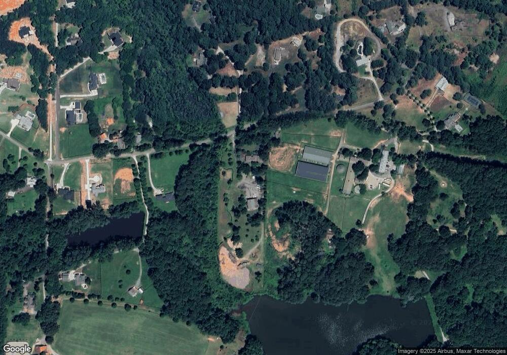
Map
Nearby Homes
- 756 Roper Rd
- 0 Ivy Ln
- 106 Laurel Brook Ln
- 113 Laurel Brook Ln
- 105 Dallas Mark Dr
- 219 Savanna Estates Ct
- 125 Laurel Brook Ln
- 108 Dallas Mark Dr
- 112 Dallas Mark Dr
- 116 Dallas Mark Dr
- 1585 Roper Rd
- 801 Homestead Dr
- 309 Sourwood Ln
- 401 Oakleigh Ave
- 4317 Sugar Pike Rd
- 560 Lost River Bend
- 221 Milton Overlook Pass
- 3116 Mh Batesville Rd
- 3116 Batesville Rd
- 15385 Tullgean Dr
Your Personal Tour Guide
Ask me questions while you tour the home.