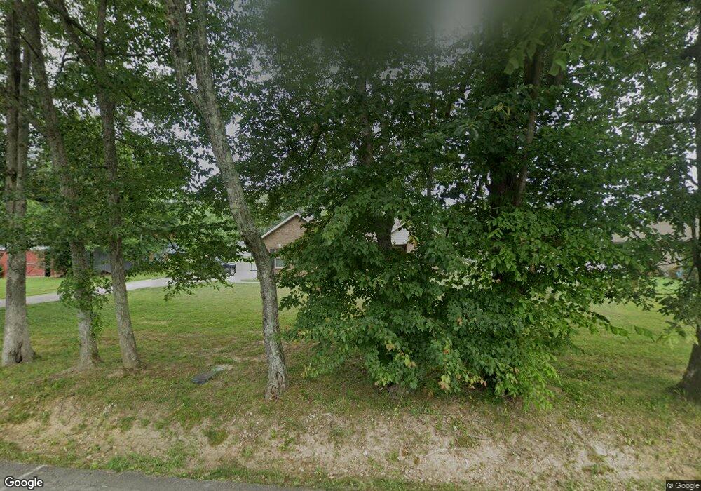
674 Skinner Flat Rd Manchester, TN 37355
Estimated Value: $368,387 - $412,000
--
Bed
--
Bath
1,910
Sq Ft
$207/Sq Ft
Est. Value
About This Home
This home is located at 674 Skinner Flat Rd, Manchester, TN 37355 and is currently estimated at $394,597, approximately $206 per square foot. 674 Skinner Flat Rd is a home with nearby schools including Westwood Middle School.
Ownership History
Date
Name
Owned For
Owner Type
Purchase Details
Closed on
Aug 28, 2020
Sold by
Morris Jeff F and Morris Hollie Sam
Bought by
Stewart Jacob and Stewart Jamie
Current Estimated Value
Home Financials for this Owner
Home Financials are based on the most recent Mortgage that was taken out on this home.
Original Mortgage
$250,381
Outstanding Balance
$222,197
Interest Rate
2.9%
Mortgage Type
FHA
Estimated Equity
$172,400
Purchase Details
Closed on
Jun 3, 2015
Sold by
Thomas Phillip R
Bought by
Morris Jeff E
Purchase Details
Closed on
Feb 26, 1988
Bought by
White Jerry Alfred and White Mimi
Create a Home Valuation Report for This Property
The Home Valuation Report is an in-depth analysis detailing your home's value as well as a comparison with similar homes in the area
Home Values in the Area
Average Home Value in this Area
Purchase History
| Date | Buyer | Sale Price | Title Company |
|---|---|---|---|
| Stewart Jacob | $255,000 | Bell & Alexander Ttl Svcs In | |
| Morris Jeff E | $21,500 | -- | |
| White Jerry Alfred | $3,000 | -- |
Source: Public Records
Mortgage History
| Date | Status | Borrower | Loan Amount |
|---|---|---|---|
| Open | Stewart Jacob | $250,381 |
Source: Public Records
Tax History Compared to Growth
Tax History
| Year | Tax Paid | Tax Assessment Tax Assessment Total Assessment is a certain percentage of the fair market value that is determined by local assessors to be the total taxable value of land and additions on the property. | Land | Improvement |
|---|---|---|---|---|
| 2024 | $2,984 | $70,775 | $3,750 | $67,025 |
| 2023 | $2,984 | $70,775 | $0 | $0 |
| 2022 | $2,569 | $70,775 | $3,750 | $67,025 |
| 2021 | $2,480 | $54,150 | $3,950 | $50,200 |
| 2020 | $2,336 | $54,150 | $3,950 | $50,200 |
| 2019 | $2,336 | $51,000 | $3,950 | $47,050 |
| 2018 | $2,336 | $51,000 | $3,950 | $47,050 |
| 2017 | $1,980 | $37,750 | $5,125 | $32,625 |
| 2016 | $269 | $5,125 | $5,125 | $0 |
| 2015 | $269 | $5,125 | $5,125 | $0 |
Source: Public Records
Map
Nearby Homes
- 58 Brooklyn Ave
- 31 Brooklyn Ave
- 42 Brooklyn Ave
- 57 Brooklyn Ave
- 71 Brooklyn Ave
- 43 Brooklyn Ave
- 30 Brooklyn Ave
- 130 Brooklyn Ave
- 835 Lexington Cir
- 166 Bluegrass Rd
- 158 Dogwood Dr
- 272 Belmar Cir
- 108 Belmar Cir
- Lot 76 Philips
- 75 Belmar Rd
- 0 Sherwood Dr
- 401 Doak Rd
- 383 Doak Rd
- 600 Indian Springs Cir
- 31 Spring House Dr
- 27 Al White Dr
- 395 Ester Ln
- 367 Ester Ln
- 17 Lexington Cir
- 73 Al White Dr
- 32 Al White Dr
- 16 Al White Dr
- 46 Al White Dr
- 60 Al White Dr
- 39 Lexington Cir
- 76 Al White Dr
- 580 Skinner Flat Rd
- 431 Ester Ln
- 891 Lexington Cir
- 295 Ester Ln
- 566 Skinner Flat Rd
- 57 Lexington Cir
- 0 Lexington Cir Unit 1890625
- 0 Lexington Cir Unit 1838791
- 0 Lexington Cir Unit 1681680
