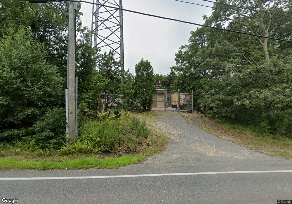
674 Thomas b Landers Rd East Falmouth, MA 2536
Hatchville NeighborhoodEstimated Value: $1,330,938
--
Bed
--
Bath
--
Sq Ft
0.83
Acres
About This Home
This home is located at 674 Thomas b Landers Rd, East Falmouth, MA 2536 and is currently estimated at $1,330,938. 674 Thomas b Landers Rd is a home located in Barnstable County with nearby schools including Mullen-Hall School, Morse Pond School, and Lawrence School.
Ownership History
Date
Name
Owned For
Owner Type
Purchase Details
Closed on
Sep 20, 2007
Sold by
Kuhn Christopher P
Bought by
Wireless Capital Part
Current Estimated Value
Purchase Details
Closed on
Apr 27, 1999
Sold by
Cellco Ptnshp
Bought by
Crown Atlantic Co Llc
Home Financials for this Owner
Home Financials are based on the most recent Mortgage that was taken out on this home.
Original Mortgage
$125,000
Interest Rate
6.92%
Mortgage Type
Commercial
Purchase Details
Closed on
Dec 24, 1997
Sold by
Kuhn Christopher P
Bought by
Cellco Ptnshp and Bell Atlantic Mobile
Create a Home Valuation Report for This Property
The Home Valuation Report is an in-depth analysis detailing your home's value as well as a comparison with similar homes in the area
Home Values in the Area
Average Home Value in this Area
Purchase History
| Date | Buyer | Sale Price | Title Company |
|---|---|---|---|
| Wireless Capital Part | $650,000 | -- | |
| Wireless Capital Part | $650,000 | -- | |
| Crown Atlantic Co Llc | $189,360 | -- | |
| Crown Atlantic Co Llc | $189,360 | -- | |
| Cellco Ptnshp | $150,000 | -- |
Source: Public Records
Mortgage History
| Date | Status | Borrower | Loan Amount |
|---|---|---|---|
| Previous Owner | Cellco Ptnshp | $125,000 |
Source: Public Records
Tax History Compared to Growth
Tax History
| Year | Tax Paid | Tax Assessment Tax Assessment Total Assessment is a certain percentage of the fair market value that is determined by local assessors to be the total taxable value of land and additions on the property. | Land | Improvement |
|---|---|---|---|---|
| 2025 | $3,321 | $565,700 | $386,400 | $179,300 |
| 2024 | $3,193 | $508,500 | $350,600 | $157,900 |
| 2023 | $3,222 | $465,600 | $307,700 | $157,900 |
| 2022 | $3,422 | $425,100 | $263,400 | $161,700 |
| 2021 | $3,516 | $413,700 | $252,000 | $161,700 |
| 2020 | $3,554 | $413,700 | $252,000 | $161,700 |
| 2019 | $3,529 | $412,300 | $250,600 | $161,700 |
| 2018 | $3,474 | $403,900 | $242,200 | $161,700 |
| 2017 | $3,412 | $400,000 | $232,400 | $167,600 |
| 2016 | $3,348 | $400,000 | $232,400 | $167,600 |
| 2015 | $3,276 | $400,000 | $232,400 | $167,600 |
| 2014 | $2,686 | $329,600 | $158,100 | $171,500 |
Source: Public Records
Map
Nearby Homes
- 77 Highwood Ln
- 908 W Falmouth Hwy
- 234 Cairn Ridge Rd
- 104 Streeter Hill Rd
- 121 Streeter Hill Rd
- 121 Streeter Hill Rd
- 104 Streeter Hill Rd
- 850 W Falmouth Hwy Unit 11
- 106 Ambleside Dr
- 308 Falmouth Woods Rd
- 213 N Falmouth Hwy Unit 5A
- 213 N Falmouth Hwy Unit 5B
- 213 N Falmouth Hwy Unit 5 A
- 70 Westmoreland Dr
- 267 N Falmouth Hwy
- 7 Pilgrim Path
- 61 Mckenna Ridge Dr
- 34 Mckenna Ridge Rd
- 47 Shallow Pond Ln
- 681 Thomas b Landers Rd
- 680 Thomas b Landers Rd
- 695 Thomas b Landers Rd
- 695 & 0 Thomas b Landers Rd
- 9 Technology Park Dr
- 19 Research Rd
- 715 Thomas b Landers Rd
- 715 Thomas b Landers Rd
- 25 Research Rd
- 571 Thomas b Landers Rd
- 710 Thomas b Landers Rd
- 710 Thomas b Landers Rd
- 710 Thomas b Landers Rd
- 48 Research Rd
- 33 Technology Park Dr
- 15 Research Rd
- 15 Research Rd
- 740 Thomas b Landers Rd
- 590 Thomas b Landers Rd
- 90 Highwood Ln