6741 Morningside Dr SW Unit 1A Carrollton, OH 44615
Estimated Value: $107,093 - $133,000
2
Beds
1
Bath
667
Sq Ft
$182/Sq Ft
Est. Value
About This Home
This home is located at 6741 Morningside Dr SW Unit 1A, Carrollton, OH 44615 and is currently estimated at $121,273, approximately $181 per square foot. 6741 Morningside Dr SW Unit 1A is a home located in Carroll County with nearby schools including Carrollton High School.
Create a Home Valuation Report for This Property
The Home Valuation Report is an in-depth analysis detailing your home's value as well as a comparison with similar homes in the area
Home Values in the Area
Average Home Value in this Area
Tax History Compared to Growth
Tax History
| Year | Tax Paid | Tax Assessment Tax Assessment Total Assessment is a certain percentage of the fair market value that is determined by local assessors to be the total taxable value of land and additions on the property. | Land | Improvement |
|---|---|---|---|---|
| 2024 | $782 | $23,200 | $3,840 | $19,360 |
| 2023 | $776 | $23,200 | $3,840 | $19,360 |
| 2022 | $774 | $19,250 | $3,190 | $16,060 |
| 2021 | $656 | $19,250 | $3,190 | $16,060 |
| 2020 | $617 | $19,250 | $3,190 | $16,060 |
| 2019 | $622 | $19,247 | $3,185 | $16,062 |
| 2018 | $697 | $20,950 | $4,160 | $16,790 |
| 2017 | $703 | $20,950 | $4,160 | $16,790 |
| 2016 | $638 | $19,230 | $3,820 | $15,410 |
| 2015 | $638 | $19,230 | $3,820 | $15,410 |
| 2014 | $638 | $19,230 | $3,820 | $15,410 |
| 2013 | $633 | $19,230 | $3,820 | $15,410 |
Source: Public Records
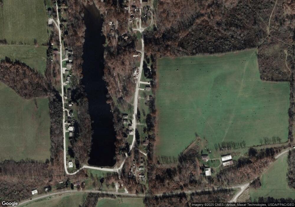
Map
Nearby Homes
- 5140 Pinto Rd SE
- 1045 Amsterdam Rd SE Unit 30
- 8125 Scio Rd SE Unit 35
- 1121 Center St SW
- 0 Aster Rd Unit 5154135
- 2227 Elk Rd SW Unit 14A
- 8013 & 8019 East St SW
- 7822 Hilltop Dr NW
- 91510 Amos Rd
- 2245 Scroll Rd SW Unit 17
- 3145 Steubenville Rd SE Unit 16
- 91240 Kilgore Ridge Rd Unit 47
- 8116 Deer Rd SW Unit 29B3
- 2081 Antigua Rd SW Unit 17
- 6090 Revere Rd SW
- 3187 Amsterdam Rd SE
- 90480 Kilgore Ridge Rd
- 9218 Deacon Rd SW
- 0 Deer Rd SW
- 91800 Irish Creek Rd
- 6729 Morningside Dr SW Unit 1A
- 6754 Morningside Dr SW Unit 1A
- 6717 Morningside Dr SW Unit 1A
- 6775 Morningside Dr SW Unit 1A
- 6778 Morningside Dr SW Unit 1A
- 6785 Luna Ln SW Unit 1A
- 6789 Luna Ln SW Unit 1A
- 6792 Luna Ln SW Unit 1A
- 6801 Luna Ln SW Unit 1A
- 6800 Luna Ln SW
- 6800 Luna Ln SW Unit 1A
- 6156 Vo Ash Dr SW Unit 1C
- 6164 Vo Ash Dr SW Unit 1C
- 6148 Vo Ash Dr SW Unit 1C
- 6172 Vo Ash Dr SW
- 6176 Vo Ash Dr SW Unit 1C
- 6136 Vo Ash Dr SW Unit 1C
- 6180 Vo Ash Dr SW Unit 1C
- 6573 Well St SW Unit 1B
- 6472 Darlington St SW Unit 1B