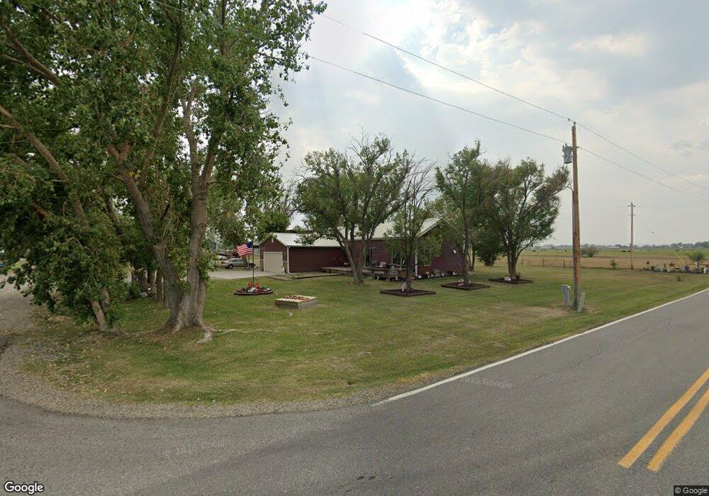
6744 Joshua Tree Ln Shepherd, MT 59079
Estimated Value: $360,000 - $587,000
3
Beds
2
Baths
2,503
Sq Ft
$177/Sq Ft
Est. Value
About This Home
This home is located at 6744 Joshua Tree Ln, Shepherd, MT 59079 and is currently estimated at $443,230, approximately $177 per square foot. 6744 Joshua Tree Ln is a home located in Yellowstone County with nearby schools including Shepherd Elementary School, Shepherd Middle School, and Shepherd High School.
Ownership History
Date
Name
Owned For
Owner Type
Purchase Details
Closed on
Apr 7, 2009
Sold by
Grebe Janel R
Bought by
Wiese Janel R
Current Estimated Value
Purchase Details
Closed on
Sep 19, 2007
Sold by
Jensen Patrick J and Jensen Debra M
Bought by
Grebe Janel R
Home Financials for this Owner
Home Financials are based on the most recent Mortgage that was taken out on this home.
Original Mortgage
$160,000
Interest Rate
6.57%
Mortgage Type
Unknown
Create a Home Valuation Report for This Property
The Home Valuation Report is an in-depth analysis detailing your home's value as well as a comparison with similar homes in the area
Home Values in the Area
Average Home Value in this Area
Purchase History
| Date | Buyer | Sale Price | Title Company |
|---|---|---|---|
| Wiese Janel R | -- | First Montana Title Company | |
| Grebe Janel R | -- | None Available |
Source: Public Records
Mortgage History
| Date | Status | Borrower | Loan Amount |
|---|---|---|---|
| Previous Owner | Grebe Janel R | $160,000 |
Source: Public Records
Tax History Compared to Growth
Tax History
| Year | Tax Paid | Tax Assessment Tax Assessment Total Assessment is a certain percentage of the fair market value that is determined by local assessors to be the total taxable value of land and additions on the property. | Land | Improvement |
|---|---|---|---|---|
| 2025 | $2,967 | $362,500 | $65,900 | $296,600 |
| 2024 | $2,967 | $342,700 | $53,634 | $289,066 |
| 2023 | $3,018 | $342,700 | $53,634 | $289,066 |
| 2022 | $2,297 | $244,300 | $0 | $0 |
| 2021 | $2,419 | $244,300 | $0 | $0 |
| 2020 | $2,370 | $231,300 | $0 | $0 |
| 2019 | $1,968 | $231,300 | $0 | $0 |
| 2018 | $2,203 | $245,200 | $0 | $0 |
| 2017 | $2,162 | $245,200 | $0 | $0 |
| 2016 | $1,877 | $220,800 | $0 | $0 |
| 2015 | $1,867 | $220,800 | $0 | $0 |
| 2014 | $1,335 | $83,581 | $0 | $0 |
Source: Public Records
Map
Nearby Homes
- 5840,5850,5904 Lunder Ln
- 5358 Yeoman Rd
- 7133 Mustang Rd
- 4935 Lewies Way
- 4820 Maribrooke Rd
- 6732 Pinto Dr
- 8020 Wade St
- 5652 Bengston Rd
- 119 Peritse Ave
- 0 Great Northern Unit 354449
- 6447 US Highway 312
- 5510 Powmer Rd
- 6835 Eagle Bend Blvd
- 7500 Eagle Bend Blvd
- 0000 Florian Ave
- 8700 Fox Run
- 7306 Kendra Lynn Dr
- L5B4 Trumbo Cir
- 3863 Glenn Edward Rd
- L3B4 Trumbo Cir
- 6745 Joshua Tree Ln
- 6207 Osness Rd
- 6707 Frey Rd
- 6227 Signal Point Dr
- 6815 Joshua Tree Ln
- 6220 Signal Point Dr
- 6248 Signal Point Dr
- 6845 Joshua Tree Ln
- 6250 Signal Point Dr
- 6210 Signal Point Dr
- 6230 Signal Point Dr
- 0 Frey Rd
- 6817 Frey Rd
- 6253 Signal Point Dr
- 6353 Osness Rd
- 6828 Frey Rd
- 6920 Frey Rd
- 6129 Osness Rd
- 6543 Frey Rd
- 6531 Frey Rd