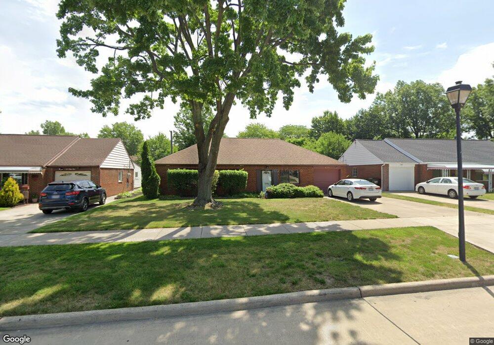
675 Birch Ave Euclid, OH 44132
Estimated Value: $161,712 - $194,000
3
Beds
2
Baths
1,423
Sq Ft
$122/Sq Ft
Est. Value
About This Home
This home is located at 675 Birch Ave, Euclid, OH 44132 and is currently estimated at $173,428, approximately $121 per square foot. 675 Birch Ave is a home located in Cuyahoga County with nearby schools including Shoreview Elementary School, Euclid High School, and Ss. Robert & William Catholic School.
Ownership History
Date
Name
Owned For
Owner Type
Purchase Details
Closed on
Apr 13, 1993
Sold by
Crockett Frank M
Bought by
Crockett Dianne L
Current Estimated Value
Purchase Details
Closed on
Apr 14, 1988
Sold by
Jean M Paul
Bought by
Crockett Frank M
Purchase Details
Closed on
Sep 5, 1978
Sold by
Paul George
Bought by
Jean M Paul
Purchase Details
Closed on
Sep 15, 1975
Sold by
Sikora Denis M
Bought by
Paul George
Purchase Details
Closed on
Jan 1, 1975
Bought by
Sikora Denis M
Create a Home Valuation Report for This Property
The Home Valuation Report is an in-depth analysis detailing your home's value as well as a comparison with similar homes in the area
Home Values in the Area
Average Home Value in this Area
Purchase History
| Date | Buyer | Sale Price | Title Company |
|---|---|---|---|
| Crockett Dianne L | -- | -- | |
| Crockett Frank M | $55,000 | -- | |
| Jean M Paul | -- | -- | |
| Paul George | $40,000 | -- | |
| Sikora Denis M | -- | -- |
Source: Public Records
Tax History Compared to Growth
Tax History
| Year | Tax Paid | Tax Assessment Tax Assessment Total Assessment is a certain percentage of the fair market value that is determined by local assessors to be the total taxable value of land and additions on the property. | Land | Improvement |
|---|---|---|---|---|
| 2024 | $3,602 | $52,535 | $9,660 | $42,875 |
| 2023 | $3,362 | $39,130 | $8,540 | $30,590 |
| 2022 | $3,285 | $39,130 | $8,540 | $30,590 |
| 2021 | $3,656 | $39,130 | $8,540 | $30,590 |
| 2020 | $3,067 | $29,650 | $6,480 | $23,170 |
| 2019 | $2,758 | $84,700 | $18,500 | $66,200 |
| 2018 | $2,741 | $29,650 | $6,480 | $23,170 |
| 2017 | $2,925 | $26,010 | $5,180 | $20,830 |
| 2016 | $2,931 | $26,010 | $5,180 | $20,830 |
| 2015 | $2,667 | $26,010 | $5,180 | $20,830 |
| 2014 | $2,667 | $26,010 | $5,180 | $20,830 |
Source: Public Records
Map
Nearby Homes
- 29038 Fuller Ave
- 577 Sycamore Dr
- 546 Walnut Dr
- 559 Sycamore Dr
- 27190 Shoreview Ave
- 27101 Zeman Ave
- 970 Bryn Mawr Ave
- 461 E 271st St
- 712 E 266th St
- 445 E 275th St
- 440 E 271st St
- 857 Bryn Mawr Ave
- 780 E 266th St
- 625 Lloyd Rd
- 26471 Farringdon Ave
- 29448 Vinewood Dr
- 29459 Vinewood Dr
- 26471 Shoreview Ave
- 26430 Drakefield Ave
- 26351 Farringdon Ave