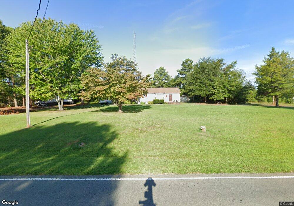
675 Buffalo Shoals Rd Lincolnton, NC 28092
Estimated Value: $215,000 - $346,000
3
Beds
1
Bath
1,632
Sq Ft
$167/Sq Ft
Est. Value
About This Home
This home is located at 675 Buffalo Shoals Rd, Lincolnton, NC 28092 and is currently estimated at $272,167, approximately $166 per square foot. 675 Buffalo Shoals Rd is a home located in Lincoln County with nearby schools including G.E. Massey Elementary School, Lincolnton Middle School, and Lincolnton High School.
Ownership History
Date
Name
Owned For
Owner Type
Purchase Details
Closed on
Feb 1, 2006
Sold by
Lail Audie and Newsome Penny
Bought by
Mclean Calandra
Current Estimated Value
Home Financials for this Owner
Home Financials are based on the most recent Mortgage that was taken out on this home.
Original Mortgage
$78,350
Outstanding Balance
$44,134
Interest Rate
6.21%
Mortgage Type
New Conventional
Estimated Equity
$228,033
Create a Home Valuation Report for This Property
The Home Valuation Report is an in-depth analysis detailing your home's value as well as a comparison with similar homes in the area
Home Values in the Area
Average Home Value in this Area
Purchase History
| Date | Buyer | Sale Price | Title Company |
|---|---|---|---|
| Mclean Calandra | $78,500 | None Available |
Source: Public Records
Mortgage History
| Date | Status | Borrower | Loan Amount |
|---|---|---|---|
| Open | Mclean Calandra | $78,350 |
Source: Public Records
Tax History Compared to Growth
Tax History
| Year | Tax Paid | Tax Assessment Tax Assessment Total Assessment is a certain percentage of the fair market value that is determined by local assessors to be the total taxable value of land and additions on the property. | Land | Improvement |
|---|---|---|---|---|
| 2025 | $1,178 | $166,347 | $37,029 | $129,318 |
| 2024 | $1,158 | $166,347 | $37,029 | $129,318 |
| 2023 | $1,153 | $166,347 | $37,029 | $129,318 |
| 2022 | $816 | $94,168 | $29,831 | $64,337 |
| 2021 | $816 | $94,168 | $29,831 | $64,337 |
| 2020 | $682 | $94,168 | $29,831 | $64,337 |
| 2019 | $663 | $94,168 | $29,831 | $64,337 |
| 2018 | $703 | $84,033 | $27,818 | $56,215 |
| 2017 | $597 | $84,033 | $27,818 | $56,215 |
| 2016 | $597 | $84,033 | $27,818 | $56,215 |
| 2015 | $671 | $84,033 | $27,818 | $56,215 |
| 2014 | $669 | $84,961 | $27,818 | $57,143 |
Source: Public Records
Map
Nearby Homes
- 741 Sunridge Dr
- 1818 Maple Ln
- 1681 Woolie Rd
- 2815 Highland Dr
- 1405 Willow Ridge Rd
- 312 Shady Ln
- 000 Curveview Rd
- 2384 Abby Ave
- 2546 N Carolina Highway 150
- 00 Walker Branch Rd
- 1156 Walker Branch Rd
- 00 Turner St
- 115 Turner St
- 1426 John Lutz Cir
- 2515 Myra Ln
- 1235 Wilma Sigmon Rd
- 401 Little St
- 1670 Buck Oak Rd
- 1335 Huckleberry Dr
- 2202 Carpenter Farms Dr
- 672 Buffalo Shoals Rd
- 1628 Lee Huss Ln
- Buffalo Buffalo Shoals Rd
- 660 Buffalo Shoals Rd
- 700 Buffalo Shoals Rd
- 1605 Lee Huss Ln
- 640 Buffalo Shoals Rd
- 1701 Sherrod Ln
- 1649 Lazy Meadow Ln
- 631 Buffalo Shoals Rd
- 1714 Waterfalls Dr
- 932 Terra Cotta Dr
- 628 Buffalo Shoals Rd
- 1643 Lazy Meadow Ln
- 731 Buffalo Shoals Rd
- 1650 Lazy Meadow Ln
- 909 Terra Cotta Dr
- 1756 Waterfalls Dr
- 929 Terra Cotta Dr
- 1766 Waterfalls Dr