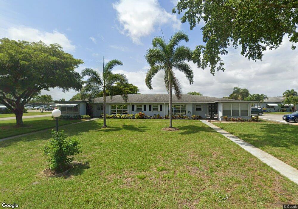
675 High Point Blvd N Unit D Delray Beach, FL 33445
High Point NeighborhoodEstimated Value: $175,392 - $253,000
2
Beds
2
Baths
1,175
Sq Ft
$172/Sq Ft
Est. Value
About This Home
This home is located at 675 High Point Blvd N Unit D, Delray Beach, FL 33445 and is currently estimated at $202,598, approximately $172 per square foot. 675 High Point Blvd N Unit D is a home located in Palm Beach County with nearby schools including Crosspointe Elementary School, Carver Community Middle School, and Atlantic High School.
Ownership History
Date
Name
Owned For
Owner Type
Purchase Details
Closed on
Oct 20, 2021
Sold by
Donaldson Mary A and Donaldson Scott F
Bought by
Donaldson Mary A
Current Estimated Value
Purchase Details
Closed on
Aug 20, 2021
Sold by
Birkbeck Raymond A and Birkbeck Susan M
Bought by
Donaldson Mary A and Donaldson Scott F
Purchase Details
Closed on
Nov 28, 2005
Sold by
Fowler Monica Maree
Bought by
Birkbeck Raymond A
Create a Home Valuation Report for This Property
The Home Valuation Report is an in-depth analysis detailing your home's value as well as a comparison with similar homes in the area
Home Values in the Area
Average Home Value in this Area
Purchase History
| Date | Buyer | Sale Price | Title Company |
|---|---|---|---|
| Donaldson Mary A | -- | None Available | |
| Donaldson Mary A | $155,000 | Delray Title & Abstract Co | |
| Birkbeck Raymond A | $61,000 | Delray Title & Abstract Co |
Source: Public Records
Tax History Compared to Growth
Tax History
| Year | Tax Paid | Tax Assessment Tax Assessment Total Assessment is a certain percentage of the fair market value that is determined by local assessors to be the total taxable value of land and additions on the property. | Land | Improvement |
|---|---|---|---|---|
| 2025 | $1,241 | $118,992 | -- | -- |
| 2024 | $1,241 | $115,638 | -- | -- |
| 2023 | $1,362 | $112,270 | $0 | $0 |
| 2022 | $1,357 | $109,000 | $0 | $0 |
| 2021 | $377 | $35,791 | $0 | $0 |
| 2020 | $368 | $35,297 | $0 | $0 |
| 2019 | $357 | $34,503 | $0 | $0 |
| 2018 | $340 | $33,860 | $0 | $0 |
| 2017 | $328 | $33,164 | $0 | $0 |
| 2016 | $315 | $32,482 | $0 | $0 |
| 2015 | $314 | $32,256 | $0 | $0 |
| 2014 | $314 | $32,000 | $0 | $0 |
Source: Public Records
Map
Nearby Homes
- 557 High Point Dr Unit C
- 680 High Point Blvd N Unit C
- 615 High Point Dr Unit C
- 437 High Point Blvd Unit D
- 350 High Point Blvd Unit C
- 510 High Point Dr Unit D
- 510 High Point Dr Unit C
- 767 High Point Dr E Unit C
- 762 High Point Blvd N Unit B
- 762 High Point Blvd N Unit D
- 2455 S Coral Trace Cir
- 902 South Dr Unit C
- 902 South Dr Unit D
- 2437 S Coral Trace Cir Unit 2437
- 300 High Point Blvd Unit A
- 910 South Dr Unit A
- 910 South Dr Unit D
- 837 North Dr Unit C
- 890 High Point Blvd N Unit A
- 277 High Point Ct W Unit B
- 675 High Point Blvd N Unit B
- 675 High Point Blvd N Unit A
- 675 High Point Blvd N Unit C
- 570 High Point Dr Unit B
- 570 High Point Dr Unit A
- 570 High Point Dr Unit D
- 570 High Point Dr Unit C
- 665 High Point Dr
- 665 High Point Dr Unit D
- 665 High Point Dr Unit C
- 665 High Point Dr Unit B
- 665 High Point Dr Unit A
- 560 High Point Dr Unit B
- 560 High Point Dr Unit C
- 560 High Point Dr Unit A
- 655 High Point Dr Unit B
- 655 High Point Dr Unit D
- 655 High Point Dr Unit A
- 655 High Point Dr Unit C
- 557 High Point Dr Unit B