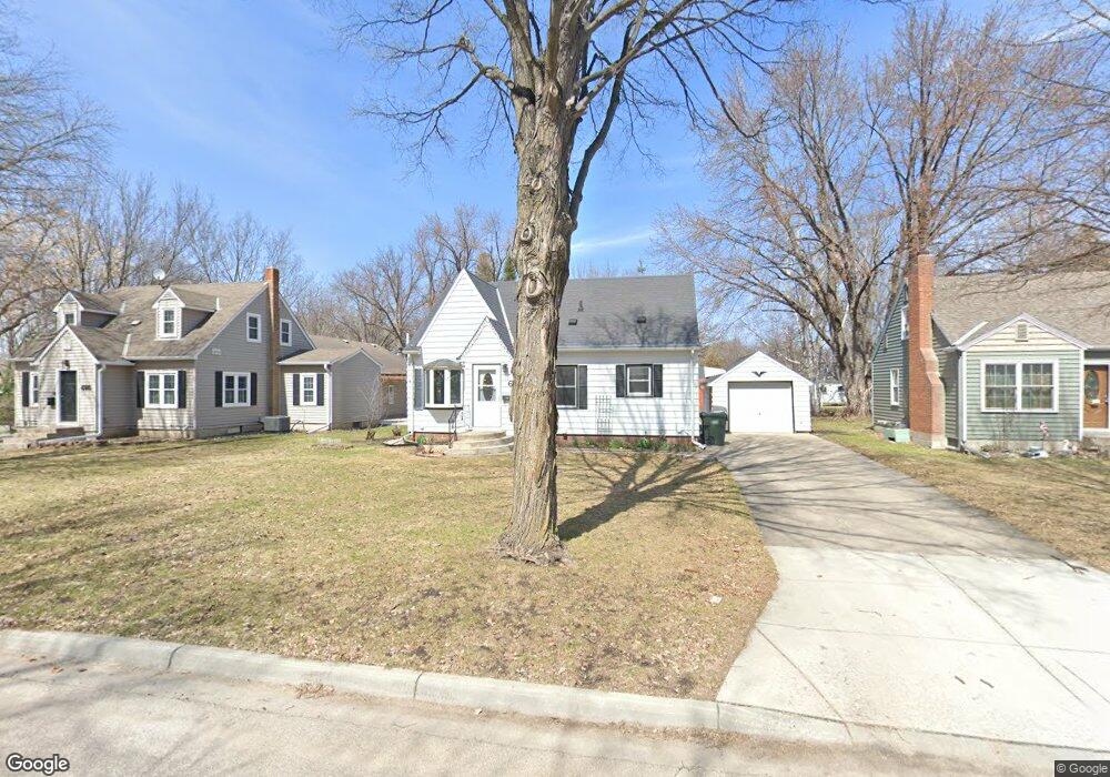
675 Madson Ave SW Hutchinson, MN 55350
Estimated Value: $225,532 - $266,000
3
Beds
2
Baths
2,274
Sq Ft
$104/Sq Ft
Est. Value
About This Home
This home is located at 675 Madson Ave SW, Hutchinson, MN 55350 and is currently estimated at $237,383, approximately $104 per square foot. 675 Madson Ave SW is a home located in McLeod County with nearby schools including Hutchinson West Elementary School, Hutchinson Park Elementary School, and Hutchinson Middle School.
Ownership History
Date
Name
Owned For
Owner Type
Purchase Details
Closed on
Aug 27, 2020
Sold by
Schmeling Janice J
Bought by
Lyons Alexandra M
Current Estimated Value
Home Financials for this Owner
Home Financials are based on the most recent Mortgage that was taken out on this home.
Original Mortgage
$125,920
Outstanding Balance
$111,746
Interest Rate
2.9%
Mortgage Type
New Conventional
Estimated Equity
$125,637
Create a Home Valuation Report for This Property
The Home Valuation Report is an in-depth analysis detailing your home's value as well as a comparison with similar homes in the area
Home Values in the Area
Average Home Value in this Area
Purchase History
| Date | Buyer | Sale Price | Title Company |
|---|---|---|---|
| Lyons Alexandra M | $157,400 | Title Mark Hutchinson |
Source: Public Records
Mortgage History
| Date | Status | Borrower | Loan Amount |
|---|---|---|---|
| Open | Lyons Alexandra M | $125,920 |
Source: Public Records
Tax History Compared to Growth
Tax History
| Year | Tax Paid | Tax Assessment Tax Assessment Total Assessment is a certain percentage of the fair market value that is determined by local assessors to be the total taxable value of land and additions on the property. | Land | Improvement |
|---|---|---|---|---|
| 2024 | $2,354 | $189,200 | $37,800 | $151,400 |
| 2023 | $2,368 | $183,000 | $37,800 | $145,200 |
| 2022 | $2,134 | $173,800 | $35,800 | $138,000 |
| 2021 | $1,814 | $148,100 | $31,400 | $116,700 |
| 2020 | $1,762 | $125,300 | $28,500 | $96,800 |
| 2019 | $1,590 | $119,800 | $28,500 | $91,300 |
| 2018 | $1,558 | $0 | $0 | $0 |
| 2017 | $1,442 | $0 | $0 | $0 |
| 2016 | $1,356 | $0 | $0 | $0 |
| 2015 | $1,216 | $0 | $0 | $0 |
| 2014 | -- | $0 | $0 | $0 |
Source: Public Records
Map
Nearby Homes
- 667 Madson Ave SW
- 642 Juul Rd SW
- 595 Milwaukee Ave SW
- 570 Lynn Rd SW
- 724 Southview Dr SW
- 702 Southview Ct SW
- 735 Sunset St SW
- 545 4th Ave SW
- 966 Osgood Ave SW
- 616 Brown St SW
- 230 Lynn Rd SW
- 310 & 312 4th Ave SW
- 569 Glen St SW
- 126 Lynn Rd SW
- 1020 Roberts Rd SW
- 530 Lincoln Ave SW
- 805 Franklin St SW
- 726 Ivy Ln SE
- 135 4th Ave SE
- 436 Adams St SE
- 667 667 Madson Ave SW
- 695 Madson Ave SW
- 655 Madson Ave SW
- 676 Juul Rd SW
- 664 Juul Rd SW
- 664 664 Madson Ave SW
- 688 Juul Rd SW
- 676 Madson Ave SW
- 676 676 Juul Rd SW
- 656 Juul Rd SW
- 643 Madson Ave SW
- 656 656 Madson Ave SW
- 664 Madson Ave SW
- 688 Madson Ave SW
- 709 Madson Ave SW
- 709 709 Madson Ave SW
- 704 Juul Rd SW
- 656 Madson Ave SW
- 631 Madson Ave SW
- 642 Madson Ave SW