675 Peninsula Dr Westwood, CA 96137
Estimated Value: $562,202 - $719,000
3
Beds
2
Baths
1,724
Sq Ft
$382/Sq Ft
Est. Value
About This Home
This home is located at 675 Peninsula Dr, Westwood, CA 96137 and is currently estimated at $658,551, approximately $381 per square foot. 675 Peninsula Dr is a home located in Plumas County.
Ownership History
Date
Name
Owned For
Owner Type
Purchase Details
Closed on
Feb 27, 2023
Sold by
Luke Scott A and Luke Loral T
Bought by
Scott And Loral Luke Family Trust
Current Estimated Value
Purchase Details
Closed on
Aug 16, 2013
Sold by
Curtis Gordon Richard and Curtis Shirley Faye
Bought by
Luke Scott A and Luke Loral T
Home Financials for this Owner
Home Financials are based on the most recent Mortgage that was taken out on this home.
Original Mortgage
$256,000
Interest Rate
3.62%
Mortgage Type
New Conventional
Create a Home Valuation Report for This Property
The Home Valuation Report is an in-depth analysis detailing your home's value as well as a comparison with similar homes in the area
Home Values in the Area
Average Home Value in this Area
Purchase History
| Date | Buyer | Sale Price | Title Company |
|---|---|---|---|
| Scott And Loral Luke Family Trust | -- | -- | |
| Luke Scott A | $320,000 | Cal Sierra Title Company |
Source: Public Records
Mortgage History
| Date | Status | Borrower | Loan Amount |
|---|---|---|---|
| Previous Owner | Luke Scott A | $256,000 |
Source: Public Records
Tax History Compared to Growth
Tax History
| Year | Tax Paid | Tax Assessment Tax Assessment Total Assessment is a certain percentage of the fair market value that is determined by local assessors to be the total taxable value of land and additions on the property. | Land | Improvement |
|---|---|---|---|---|
| 2025 | $4,869 | $392,265 | $36,771 | $355,494 |
| 2023 | $4,869 | $377,035 | $35,344 | $341,691 |
| 2022 | $4,453 | $369,643 | $34,651 | $334,992 |
| 2021 | $4,187 | $362,396 | $33,972 | $328,424 |
| 2020 | $4,277 | $358,681 | $33,624 | $325,057 |
| 2019 | $4,197 | $351,649 | $32,965 | $318,684 |
| 2018 | $4,027 | $344,755 | $32,319 | $312,436 |
| 2017 | $4,008 | $337,996 | $31,686 | $306,310 |
| 2016 | $3,709 | $331,369 | $31,065 | $300,304 |
| 2015 | $3,662 | $326,393 | $30,599 | $295,794 |
| 2014 | $3,601 | $321,452 | $30,136 | $291,316 |
Source: Public Records
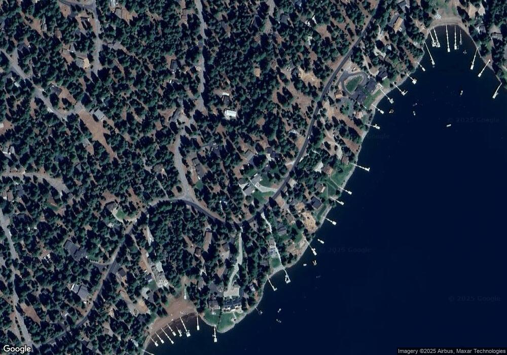
Map
Nearby Homes
- 665 Peninsula Dr
- 719 Peninsula Dr
- 1213 Peninsula Dr
- 663 Peninsula Dr
- 623 Cedar Canyon Rd
- 662 Peninsula Dr
- 631 Cedar Canyon Rd
- 629 Pine Canyon Rd
- 728 Lake Ridge Rd
- 625 Deep Forest Rd
- 811 Lake Ridge Rd
- 810 Timber Ridge Rd Unit 805 Lake Ridge Road
- 720 E Mountain Ridge Rd
- 673 E Mountain Ridge Rd
- 615 E Mountain Ridge Rd
- 700 E Mountain Ridge Rd
- 611 E Burnt Cedar Rd
- 1015 Timber Ridge Rd
- 1019 Timber Ridge Rd
- 1016 Timber Ridge Rd
- 673 Peninsula Dr
- 671 Peninsula Dr
- 677 Peninsula Dr
- 644 Cedar Canyon Rd
- 681 Peninsula Dr
- 687 Peninsula Dr
- 642 Cedar Canyon Rd
- 667 Peninsula Dr Unit 669 Peninsula Drive
- 667 Peninsula Dr
- 691 Peninsula Dr
- 640 Cedar Canyon Rd
- 669 Peninsula Dr
- 337 & 341 Peninsula Dr
- 337 & 334 Peninsula Dr
- 805 Peninsula Dr
- 559 Peninsula Dr
- 831 Peninsula Dr
- 531 A Peninsula Dr
- 1332 Peninsula Dr
- 1123 Peninsula Dr