675 Pontoon Dr Felton, DE 19943
Estimated Value: $373,000 - $428,000
3
Beds
2
Baths
1,588
Sq Ft
$250/Sq Ft
Est. Value
About This Home
This home is located at 675 Pontoon Dr, Felton, DE 19943 and is currently estimated at $397,687, approximately $250 per square foot. 675 Pontoon Dr is a home located in Kent County with nearby schools including Lake Forest East Elementary School, Lake Forest Central Elementary School, and W.T. Chipman Middle School.
Ownership History
Date
Name
Owned For
Owner Type
Purchase Details
Closed on
Dec 1, 2023
Sold by
K Hovnanian / Fork Landing Llc
Bought by
Devary John Anthony and Devary Salina Marie
Current Estimated Value
Home Financials for this Owner
Home Financials are based on the most recent Mortgage that was taken out on this home.
Original Mortgage
$377,899
Outstanding Balance
$371,967
Interest Rate
7.79%
Mortgage Type
FHA
Estimated Equity
$25,720
Purchase Details
Closed on
Jun 21, 2023
Sold by
Fork Landing Llc
Bought by
K Hovnanian At Fork Landing Llc
Create a Home Valuation Report for This Property
The Home Valuation Report is an in-depth analysis detailing your home's value as well as a comparison with similar homes in the area
Home Values in the Area
Average Home Value in this Area
Purchase History
| Date | Buyer | Sale Price | Title Company |
|---|---|---|---|
| Devary John Anthony | $384,888 | None Listed On Document | |
| K Hovnanian At Fork Landing Llc | $66,000 | None Listed On Document |
Source: Public Records
Mortgage History
| Date | Status | Borrower | Loan Amount |
|---|---|---|---|
| Open | Devary John Anthony | $377,899 |
Source: Public Records
Tax History Compared to Growth
Tax History
| Year | Tax Paid | Tax Assessment Tax Assessment Total Assessment is a certain percentage of the fair market value that is determined by local assessors to be the total taxable value of land and additions on the property. | Land | Improvement |
|---|---|---|---|---|
| 2025 | $1,747 | $377,000 | $85,100 | $291,900 |
| 2024 | $1,747 | $377,000 | $85,100 | $291,900 |
| 2023 | $132 | $5,600 | $5,600 | $0 |
| 2022 | $118 | $5,600 | $5,600 | $0 |
| 2021 | $111 | $5,600 | $5,600 | $0 |
| 2020 | $116 | $5,600 | $5,600 | $0 |
| 2019 | $116 | $5,600 | $5,600 | $0 |
| 2018 | $115 | $5,600 | $5,600 | $0 |
| 2017 | $120 | $5,600 | $0 | $0 |
| 2016 | $110 | $5,600 | $0 | $0 |
| 2015 | -- | $5,600 | $0 | $0 |
| 2014 | -- | $5,600 | $0 | $0 |
Source: Public Records
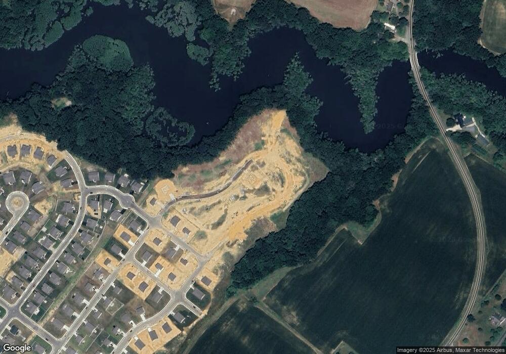
Map
Nearby Homes
- Brenner Plan at Coursey's Point
- Whatley Plan at Coursey's Point
- Peterman II Plan at Coursey's Point
- Reston Plan at Coursey's Point
- Cartwright Plan at Coursey's Point
- Frank Plan at Coursey's Point
- 03 Obsidian Dr
- 04 Obsidian Dr
- 02 Obsidian Dr
- 06 Obsidian Dr
- 07 Obsidian Dr
- 05 Obsidian Dr
- 20 Cliff Dr
- 88 Rolling Stone Way
- 01 Obsidian Dr
- 438 Aston Villa Dr
- Lot 7 Waterside Dr
- 150 Elm Crest Ln
- 196 Elm Crest Ln
- 866 McCauley Pond Rd
- 649 Pontoon Dr
- 559 Pontoon Dr
- 543 Pontoon Dr
- 603 Pontoon Dr
- 668 Pontoon Dr
- 684 Pontoon Dr
- 531 Pontoon Dr
- 10 Paddleboat Ct
- 515 Pontoon Dr
- 576 Pontoon Dr
- 15 Paddleboat Ct
- 618 Pontoon Dr
- 588 Pontoon Dr
- 128 Canterbury Rd
- 610 Pontoon Dr
- 600 Pontoon Dr
- 499 Pontoon Dr
- 504 Pontoon Dr
- 486 Pontoon Dr
- 13 Line Ave