675 Rocktree Rd Dahlonega, GA 30533
Estimated Value: $164,856 - $301,000
--
Bed
1
Bath
816
Sq Ft
$270/Sq Ft
Est. Value
About This Home
This home is located at 675 Rocktree Rd, Dahlonega, GA 30533 and is currently estimated at $219,964, approximately $269 per square foot. 675 Rocktree Rd is a home located in Lumpkin County with nearby schools including Lumpkin County High School.
Ownership History
Date
Name
Owned For
Owner Type
Purchase Details
Closed on
Jul 23, 2024
Sold by
Audette Cynthia A
Bought by
Audette Cynthia A and Jordan Jennystar
Current Estimated Value
Purchase Details
Closed on
Jul 8, 2024
Sold by
Criswell Anthony
Bought by
Audette Cynthia A
Purchase Details
Closed on
Feb 13, 2002
Sold by
Criswell Cyndi A
Bought by
Audette Cyndi A
Purchase Details
Closed on
Dec 5, 2000
Sold by
Criswell Anthony
Bought by
Criswell Cyndi A
Purchase Details
Closed on
Oct 8, 1993
Sold by
Lynch Peter M
Bought by
Criswell Anthony
Create a Home Valuation Report for This Property
The Home Valuation Report is an in-depth analysis detailing your home's value as well as a comparison with similar homes in the area
Home Values in the Area
Average Home Value in this Area
Purchase History
| Date | Buyer | Sale Price | Title Company |
|---|---|---|---|
| Audette Cynthia A | -- | -- | |
| Audette Cynthia A | -- | -- | |
| Audette Cynthia A | -- | -- | |
| Audette Cyndi A | -- | -- | |
| Criswell Cyndi A | $18,000 | -- | |
| Criswell Anthony | $10,900 | -- |
Source: Public Records
Tax History Compared to Growth
Tax History
| Year | Tax Paid | Tax Assessment Tax Assessment Total Assessment is a certain percentage of the fair market value that is determined by local assessors to be the total taxable value of land and additions on the property. | Land | Improvement |
|---|---|---|---|---|
| 2024 | $1,041 | $44,248 | $12,392 | $31,856 |
| 2023 | $968 | $41,163 | $11,581 | $29,582 |
| 2022 | $839 | $33,906 | $9,655 | $24,251 |
| 2021 | $762 | $29,784 | $9,655 | $20,129 |
| 2020 | $759 | $28,782 | $9,248 | $19,534 |
| 2019 | $766 | $28,782 | $9,248 | $19,534 |
| 2018 | $753 | $26,534 | $9,248 | $17,286 |
| 2017 | $748 | $25,874 | $9,248 | $16,626 |
| 2016 | $708 | $23,683 | $9,248 | $14,435 |
| 2015 | $632 | $23,683 | $9,248 | $14,435 |
| 2014 | $632 | $23,980 | $9,248 | $14,732 |
| 2013 | -- | $24,128 | $9,247 | $14,880 |
Source: Public Records
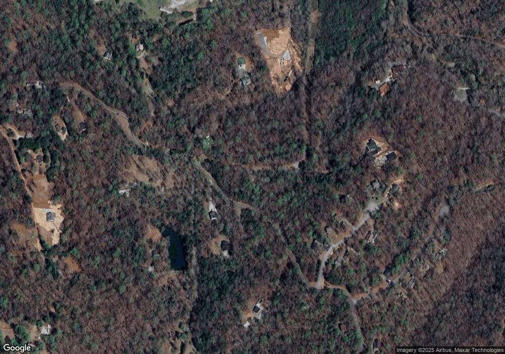
Map
Nearby Homes
- 03 Kate Rd
- 0 Porter Springs Rd Unit 10554581
- 165 Porter Springs Rd
- 1530 Pecks Mill Creek Rd
- 83 Austin Ct
- 1323 Cavender Creek Rd
- 0 Bearden Rd Unit 10598024
- 0 Bearden Rd Unit 7642996
- 302 Pointe Cir
- 300 Mountain Ridge Dr
- 7.123 Acres Halls Mill Rd
- 483 Winters Mountain Rd
- 00 LOT C Cavender Creek Rd
- 00 Captain McDonald Rd
- 34 Great Works Dr
- 1437 Porter Springs Rd
- 0 Morrison Moore Pkwy E Unit 7647577
- 910 Miller Calhoun Rd
- 87 Tolleffs Trail
- 2589 Morrison Moore Pkwy E
- 704 Rocktree Rd
- 91 Rocktree Overlook
- 91 Rocktree Overlook
- 49 Rocktree Overlook
- 59 Rocktree Overlook
- 109 Spring Valley Trace
- 115 Rocktree Overlook
- 0 Spring Valley Trace
- 0 Spring Valley Trace Unit 7007211
- 0 Spring Valley Trace Unit 3258316
- 0 Spring Valley Trace Unit 3197575
- 0 Spring Valley Trace Unit 3089616
- 0 Spring Valley Trace Unit 2881853
- 0 Spring Valley Trace Unit 7019787
- 0 Spring Valley Trace Unit 8977628
- 0 Spring Valley Trace Unit 9018671
- 0 Spring Valley Trace Unit 3131566
- 0 Spring Valley Trace Unit 7280990
- 0 Spring Valley Trace Unit 7412402
- 0 Spring Valley Trace Unit 8297718