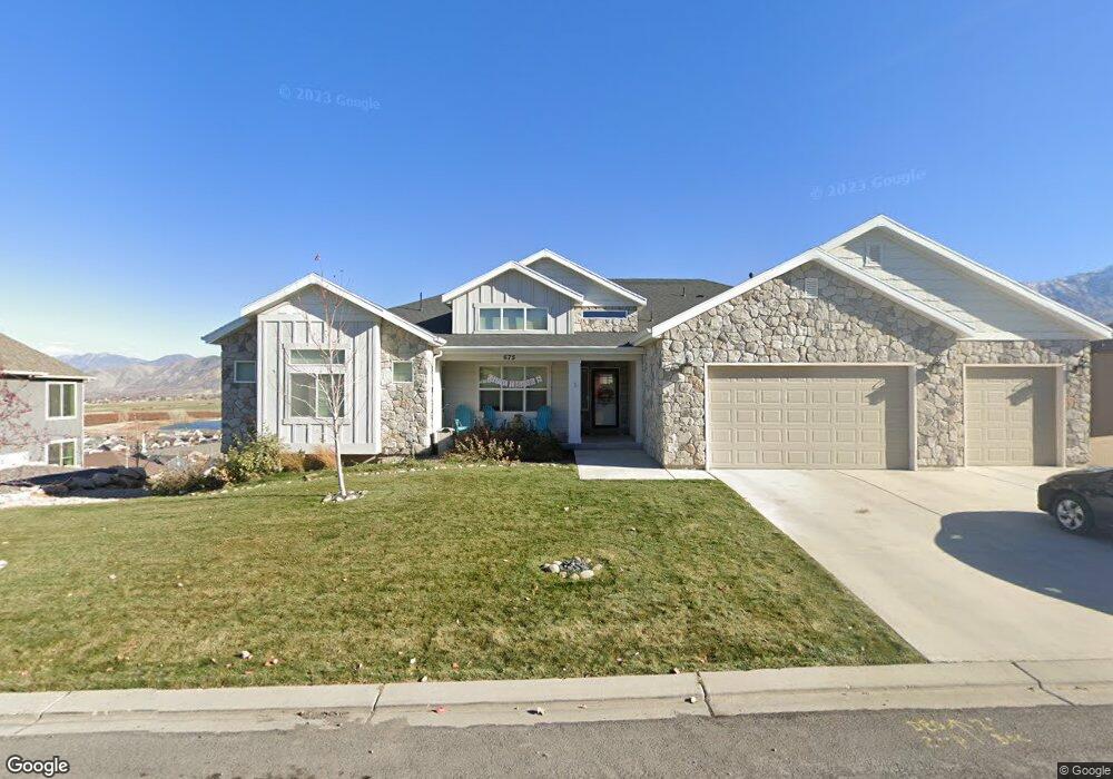
675 Summit Trails Santaquin, UT 84655
Estimated Value: $640,000 - $873,621
3
Beds
3
Baths
2,863
Sq Ft
$264/Sq Ft
Est. Value
About This Home
This home is located at 675 Summit Trails, Santaquin, UT 84655 and is currently estimated at $756,874, approximately $264 per square foot. 675 Summit Trails is a home located in Utah County with nearby schools including Santaquin Elementary School, Payson Junior High School, and Mt. Nebo Middle.
Ownership History
Date
Name
Owned For
Owner Type
Purchase Details
Closed on
Jun 26, 2018
Sold by
Miller Richard
Bought by
Miller Richard and Miller Shannon
Current Estimated Value
Home Financials for this Owner
Home Financials are based on the most recent Mortgage that was taken out on this home.
Original Mortgage
$419,967
Outstanding Balance
$364,014
Interest Rate
4.6%
Mortgage Type
New Conventional
Estimated Equity
$392,860
Purchase Details
Closed on
Jun 21, 2018
Sold by
Salisbury Developers Inc
Bought by
Miller Richard
Home Financials for this Owner
Home Financials are based on the most recent Mortgage that was taken out on this home.
Original Mortgage
$419,967
Outstanding Balance
$364,014
Interest Rate
4.6%
Mortgage Type
New Conventional
Estimated Equity
$392,860
Purchase Details
Closed on
Feb 20, 2018
Sold by
Salisbury Land Llc
Bought by
Salisbury Developers Inc
Home Financials for this Owner
Home Financials are based on the most recent Mortgage that was taken out on this home.
Original Mortgage
$390,800
Interest Rate
3.99%
Mortgage Type
Construction
Purchase Details
Closed on
Sep 29, 2011
Sold by
Summit Ridge Communities Llc
Bought by
Central Bank
Create a Home Valuation Report for This Property
The Home Valuation Report is an in-depth analysis detailing your home's value as well as a comparison with similar homes in the area
Home Values in the Area
Average Home Value in this Area
Purchase History
| Date | Buyer | Sale Price | Title Company |
|---|---|---|---|
| Miller Richard | -- | Cottonwood Title Ins Agency | |
| Miller Richard | -- | Cottowood Title Ins Agency I | |
| Salisbury Developers Inc | -- | Cottonwood Title Ins Agency | |
| Central Bank | -- | None Available |
Source: Public Records
Mortgage History
| Date | Status | Borrower | Loan Amount |
|---|---|---|---|
| Open | Miller Richard | $419,967 | |
| Previous Owner | Salisbury Developers Inc | $390,800 |
Source: Public Records
Tax History
| Year | Tax Paid | Tax Assessment Tax Assessment Total Assessment is a certain percentage of the fair market value that is determined by local assessors to be the total taxable value of land and additions on the property. | Land | Improvement |
|---|---|---|---|---|
| 2025 | $3,979 | $453,310 | -- | -- |
| 2024 | $3,979 | $396,220 | $0 | $0 |
| 2023 | $4,103 | $409,860 | $0 | $0 |
| 2022 | $3,670 | $378,180 | $0 | $0 |
| 2021 | $3,261 | $520,900 | $107,700 | $413,200 |
| 2020 | $3,064 | $474,200 | $76,900 | $397,300 |
| 2019 | $2,738 | $433,400 | $72,900 | $360,500 |
| 2018 | $810 | $67,200 | $67,200 | $0 |
| 2017 | $833 | $67,200 | $0 | $0 |
| 2016 | $656 | $51,800 | $0 | $0 |
| 2015 | $627 | $48,600 | $0 | $0 |
| 2014 | $575 | $44,500 | $0 | $0 |
Source: Public Records
Map
Nearby Homes
- 503 Firestone Dr
- 412 Flagstone Dr
- 926 S Tanner Rd
- 370 Stone Hollow Dr
- 942 S Tanner Rd
- 332 Stone Dr
- 976 S Tanner Rd
- 1024 S Tanner Rd
- 1040 S Tanner Rd
- 1126 Valley View Dr
- 1186 S Vista Ridge Dr
- 1858 W View Cove
- 1263 Crest Dale Ln
- 1859 W View Cove
- 1851 W View Cove
- 1276 W View Dr
- 1302 W View Dr
- 1304 S Ute Dr
- 1214 W Hidden Spring Dr
- 1334 W View Dr
- 675 Summit Trails Unit 9
- 657 Summit Trails
- 657 Summit Trails Way Unit 8
- 691 Summit Trail Unit CLDWL
- 691 Summit Trails
- 691 Summit Trails Unit 10
- 680 Crest Dale Ln Unit CALDWE
- 680 Crest Dale Ln
- 702 Crest Dale Ln
- 660 Crest Dale Ln
- 641 Summit Trail Unit 7
- 530 Crest Dale Ln
- 530 Crest Dale Ln
- 709 Summit Trail Unit 11
- 709 Summit Trail
- 678 Summit Trail Unit 104
- 652 Summit Trail
- 690 Summit Trail Unit 101
- 690 Summit Trail Unit 103
- 702 Summit Trails
Your Personal Tour Guide
Ask me questions while you tour the home.