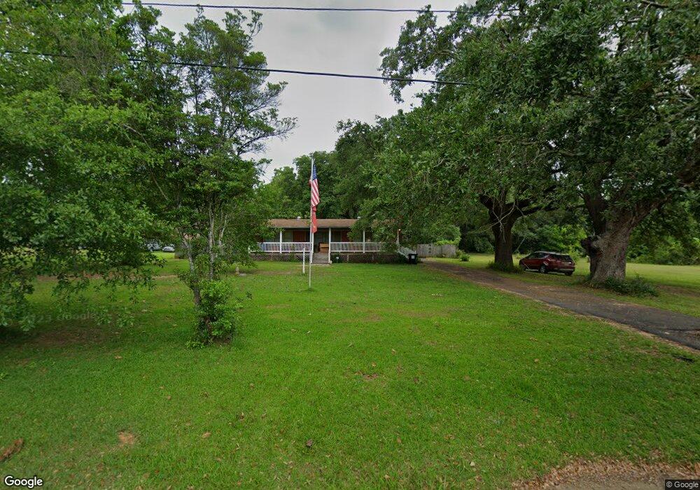
6750 Barnes Rd Theodore, AL 36582
Westfield NeighborhoodEstimated Value: $184,752 - $229,000
--
Bed
1
Bath
1,286
Sq Ft
$159/Sq Ft
Est. Value
About This Home
This home is located at 6750 Barnes Rd, Theodore, AL 36582 and is currently estimated at $204,938, approximately $159 per square foot. 6750 Barnes Rd is a home located in Mobile County with nearby schools including Nan Gray Davis Elementary School, Katherine H Hankins Middle School, and Theodore High School.
Ownership History
Date
Name
Owned For
Owner Type
Purchase Details
Closed on
Dec 13, 2024
Sold by
Mary Waldie Living Trust and Grace Robert
Bought by
Brianna Kay Waldie Supplemental Needs Trust and Grace
Current Estimated Value
Purchase Details
Closed on
Jan 24, 2006
Sold by
Bryant Elwood D
Bought by
Compton Allen A and Compton Jo Ann
Create a Home Valuation Report for This Property
The Home Valuation Report is an in-depth analysis detailing your home's value as well as a comparison with similar homes in the area
Home Values in the Area
Average Home Value in this Area
Purchase History
| Date | Buyer | Sale Price | Title Company |
|---|---|---|---|
| Brianna Kay Waldie Supplemental Needs Trust | $157,000 | None Listed On Document | |
| Compton Allen A | -- | None Available |
Source: Public Records
Tax History Compared to Growth
Tax History
| Year | Tax Paid | Tax Assessment Tax Assessment Total Assessment is a certain percentage of the fair market value that is determined by local assessors to be the total taxable value of land and additions on the property. | Land | Improvement |
|---|---|---|---|---|
| 2024 | $1,726 | $15,680 | $2,750 | $12,930 |
| 2023 | $1,641 | $12,610 | $2,600 | $10,010 |
| 2022 | $0 | $13,190 | $3,180 | $10,010 |
| 2021 | $0 | $13,190 | $3,180 | $10,010 |
| 2020 | $0 | $13,200 | $3,180 | $10,020 |
| 2019 | $0 | $12,180 | $3,180 | $9,000 |
| 2018 | $0 | $12,200 | $0 | $0 |
| 2017 | $0 | $12,200 | $0 | $0 |
| 2016 | -- | $12,380 | $0 | $0 |
| 2013 | -- | $12,400 | $0 | $0 |
Source: Public Records
Map
Nearby Homes
- 6799 Foxwood Dr
- 6795 Browder Dr
- 6624 Morgan Jackson Ct
- 6521 Barnes Rd
- 6840 Highmont Dr
- 6631 Sandra Dr
- 6293 Woodside Dr S
- 6425 Boykin Rd
- 6178 Sperry Rd
- 6913 Gray Oaks Dr
- 6780 Boykin Rd
- 6987 Magnolia Trace
- 6551 Tung Ave W
- 0 Rester Rd
- 6361 Rester Rd
- 7432 Havenwood Dr
- 6820 Rester Rd
- 7520 Oak Dr W
- 5950 Theodore Dawes Rd
- 7340 Broadview Dr E
- 6770 Barnes Rd
- 6740 Barnes Rd
- 0 Barneswood Dr Unit 7453043
- 0 Barneswood Dr Unit 7453052
- 0 Barneswood Dr Unit 7453036
- 00 Barneswood Dr
- 0 Barneswood Dr Unit 298-301 0602528
- 0 Barneswood Dr
- 6769 Foxwood Dr
- 6779 Foxwood Dr
- 6778 Barnes Rd
- 6789 Foxwood Dr
- 6759 Foxwood Dr
- 6751 Barnes Rd
- 6749 Foxwood Dr
- 6781 Barnes Rd
- 6739 Foxwood Dr
- 6799 Barneswood Ct
- 6799 Barneswood Ct
- 6735 Barnes Rd