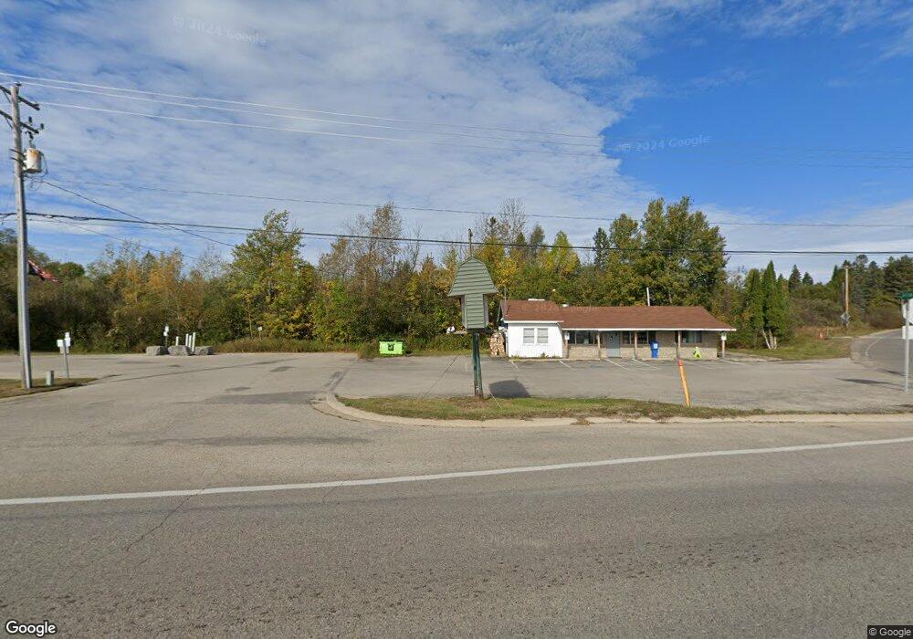
6755 N Us Highway 31 Alanson, MI 49706
Estimated Value: $208,837 - $234,000
--
Bed
--
Bath
1,620
Sq Ft
$136/Sq Ft
Est. Value
About This Home
This home is located at 6755 N Us Highway 31, Alanson, MI 49706 and is currently estimated at $219,946, approximately $135 per square foot. 6755 N Us Highway 31 is a home located in Emmet County with nearby schools including Alanson Public School.
Ownership History
Date
Name
Owned For
Owner Type
Purchase Details
Closed on
May 13, 2009
Sold by
Moser Matthew and Moser Tiffany
Bought by
Cannon Donna J
Current Estimated Value
Home Financials for this Owner
Home Financials are based on the most recent Mortgage that was taken out on this home.
Original Mortgage
$82,478
Outstanding Balance
$52,083
Interest Rate
4.84%
Estimated Equity
$167,863
Purchase Details
Closed on
Apr 24, 2009
Sold by
Jewell Scott M
Bought by
Moser Matthew and Moser Tiffany
Home Financials for this Owner
Home Financials are based on the most recent Mortgage that was taken out on this home.
Original Mortgage
$82,478
Outstanding Balance
$52,083
Interest Rate
4.84%
Estimated Equity
$167,863
Purchase Details
Closed on
Mar 31, 1999
Sold by
Schlappi Paula
Bought by
Moser Matthew and Moser Tiffany
Purchase Details
Closed on
May 1, 1993
Bought by
Schlappi
Create a Home Valuation Report for This Property
The Home Valuation Report is an in-depth analysis detailing your home's value as well as a comparison with similar homes in the area
Home Values in the Area
Average Home Value in this Area
Purchase History
| Date | Buyer | Sale Price | Title Company |
|---|---|---|---|
| Cannon Donna J | $84,000 | -- | |
| Moser Matthew | -- | -- | |
| Moser Matthew | $84,000 | -- | |
| Schlappi | $14,000 | -- |
Source: Public Records
Mortgage History
| Date | Status | Borrower | Loan Amount |
|---|---|---|---|
| Open | Cannon Donna J | $82,478 |
Source: Public Records
Tax History Compared to Growth
Tax History
| Year | Tax Paid | Tax Assessment Tax Assessment Total Assessment is a certain percentage of the fair market value that is determined by local assessors to be the total taxable value of land and additions on the property. | Land | Improvement |
|---|---|---|---|---|
| 2025 | $1,473 | $81,900 | $0 | $81,900 |
| 2024 | $1,473 | $80,600 | $0 | $80,600 |
| 2023 | $1,376 | $70,700 | $0 | $70,700 |
| 2022 | $1,376 | $64,600 | $0 | $64,600 |
| 2021 | $1,340 | $53,200 | $0 | $53,200 |
| 2020 | $1,322 | $51,000 | $0 | $51,000 |
| 2019 | -- | $51,700 | $11,300 | $40,400 |
| 2018 | -- | $52,700 | $11,300 | $41,400 |
| 2017 | -- | $46,600 | $11,300 | $35,300 |
| 2016 | -- | $43,100 | $11,300 | $31,800 |
| 2015 | -- | $43,100 | $0 | $0 |
| 2014 | -- | $35,600 | $0 | $0 |
Source: Public Records
Map
Nearby Homes
- 6430 Admirals Point Dr
- 6167 Lambert Dr
- 7084 Center St
- 7181 Maple St
- 7311 Spruce St
- 0 Michigan 68 Unit 201834858
- TBD Spring St
- VL Spring St
- 0 M-68 Hwy Unit 475386
- 7325 Keystone Park Dr Unit 18
- 6320 & 6332 River St
- 7032 Michigan 68
- 7328 Keystone Park Dr Unit Lot 12
- 7726 & 7714 Lake St
- 6590 & 6596 Admirals Point Dr
- 7714 Lake St
- 7737 U S 31
- 7726 Lake St
- 7486 Keystone Park Dr Unit Lot 30
- 5546 Valley Rd
- 6755 S Us 31 Hwy
- 6410 Admirals Point Dr
- 6410 Admirals Point - #49
- 6410 Admiral Point Dr
- 6430 Admiral's Point Dr Unit Lot 9
- 6430 Admiral's Point Dr
- 6787 S Us 31 Hwy
- 6787 S U S 31 Hwy
- 6450 Admiral's Point Dr
- 6450 Admiral's Point Dr Unit Lot 10
- 6450 Admirals Point Dr Unit Lot 10
- 6450 Admirals Point Dr
- 6791 U S 31
- 6405 Admiral's Point
- 6405 Admiral's Point Unit 1
- 6405 Admiral's Point Dr Unit Lot 1
- 6405 Admirals Point Dr
- 6427 Walshs Way
- 6425 Admiral Point Dr
- 6797 S Us 31 Hwy