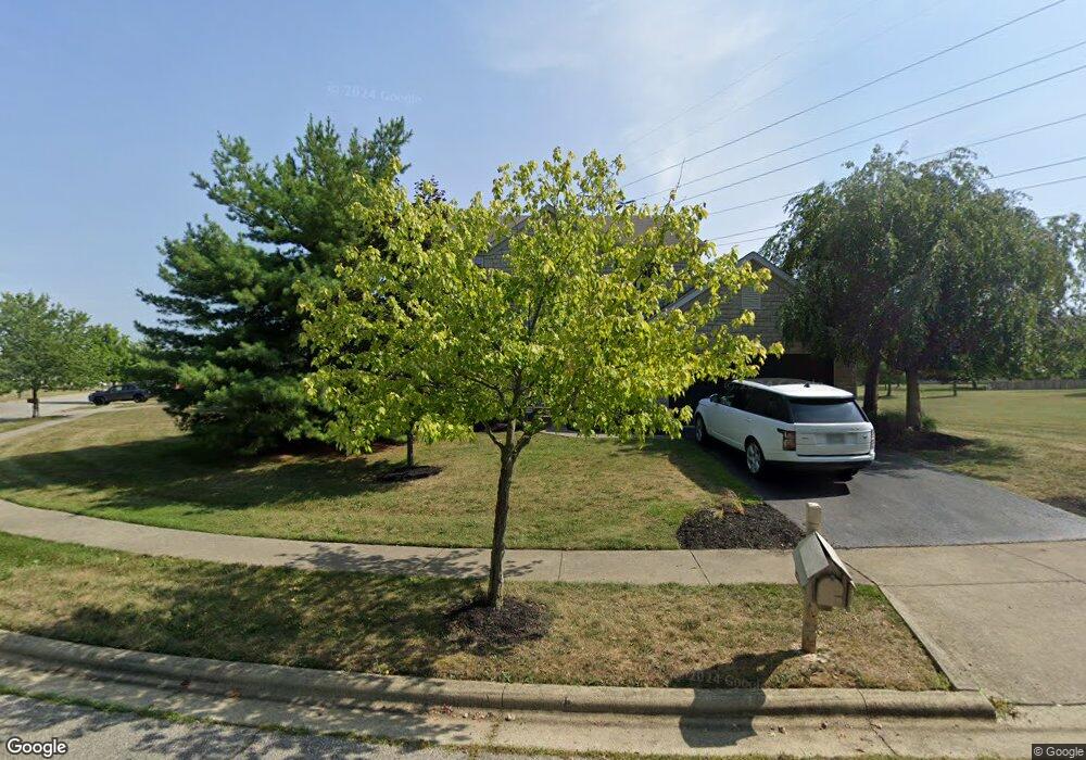
6756 Annelise Ln Westerville, OH 43081
West Albany NeighborhoodEstimated Value: $478,000 - $488,713
4
Beds
3
Baths
2,466
Sq Ft
$196/Sq Ft
Est. Value
About This Home
This home is located at 6756 Annelise Ln, Westerville, OH 43081 and is currently estimated at $483,928, approximately $196 per square foot. 6756 Annelise Ln is a home located in Franklin County with nearby schools including Avalon Elementary School, Northgate Intermediate, and Woodward Park Middle School.
Ownership History
Date
Name
Owned For
Owner Type
Purchase Details
Closed on
May 31, 2002
Sold by
Joshua Investment Company
Bought by
Wood Robert C
Current Estimated Value
Home Financials for this Owner
Home Financials are based on the most recent Mortgage that was taken out on this home.
Original Mortgage
$46,000
Interest Rate
6.95%
Purchase Details
Closed on
Nov 1, 2001
Sold by
Cardinal Title Holding Co
Bought by
Joshua Investment Company
Create a Home Valuation Report for This Property
The Home Valuation Report is an in-depth analysis detailing your home's value as well as a comparison with similar homes in the area
Home Values in the Area
Average Home Value in this Area
Purchase History
| Date | Buyer | Sale Price | Title Company |
|---|---|---|---|
| Wood Robert C | $232,700 | Hummel Title Agency Inc | |
| Joshua Investment Company | $32,000 | Central City Title Agency |
Source: Public Records
Mortgage History
| Date | Status | Borrower | Loan Amount |
|---|---|---|---|
| Closed | Wood Robert C | $46,000 |
Source: Public Records
Tax History Compared to Growth
Tax History
| Year | Tax Paid | Tax Assessment Tax Assessment Total Assessment is a certain percentage of the fair market value that is determined by local assessors to be the total taxable value of land and additions on the property. | Land | Improvement |
|---|---|---|---|---|
| 2024 | $6,854 | $152,710 | $39,380 | $113,330 |
| 2023 | $6,766 | $152,705 | $39,375 | $113,330 |
| 2022 | $5,041 | $97,200 | $16,800 | $80,400 |
| 2021 | $5,050 | $97,200 | $16,800 | $80,400 |
| 2020 | $5,057 | $97,200 | $16,800 | $80,400 |
| 2019 | $4,860 | $80,120 | $14,000 | $66,120 |
| 2018 | $4,790 | $80,120 | $14,000 | $66,120 |
| 2017 | $5,034 | $80,120 | $14,000 | $66,120 |
| 2016 | $5,210 | $78,650 | $14,560 | $64,090 |
| 2015 | $4,730 | $78,650 | $14,560 | $64,090 |
| 2014 | $4,741 | $78,650 | $14,560 | $64,090 |
| 2013 | $2,227 | $74,900 | $13,860 | $61,040 |
Source: Public Records
Map
Nearby Homes
- 5556 Falco Dr
- 6501 Walnut Fork Dr Unit 6501
- 6455 Walnut Fork Dr Unit 6455
- 6498 Ash Rock Cir Unit 6498
- 5600 Apothecary Way
- 5604 Apothecary Way Unit 4
- 6813 Ridge Rock Dr Unit 14
- 5478 Albany Terrace Way Unit 1405
- 5656 Apothecary Way Unit 2
- 6221 Hudson Reserve Way
- 5288 Abby Gate Ave Unit 16
- 0 N Hamilton Rd
- 6160 Albany Way Dr
- 5468 Nottinghamshire Ln
- 5450 Nottinghamshire Ln
- 5655 Marshfield Dr
- 5396 Nottinghamshire Ln Unit 5396
- 6950 Harlem Rd
- 5937 Seffner Dr
- 6923 Rothwell St Unit 46923
- 5500 Connorwill Dr
- 6764 Annelise Ln
- 5508 Connorwill Dr
- 6755 Annelise Ln
- 5505 Bunstine Dr
- 5547 Benpatrick Ct
- 6772 Annelise Ln
- 5541 Benpatrick Ct
- 6495 Gossamer Ct
- 5524 Connorwill Dr
- 5506 Bunstine Dr
- 5611 Quinn Ct
- 5603 Quinn Ct
- 5595 Quinn Ct
- 5535 Benpatrick Ct
- 6780 Annelise Ln
- 5589 Quinn Ct
- 6530 Portrait Cir Unit 1301
- 5514 Bunstine Dr
- 6487 Gossamer Ct