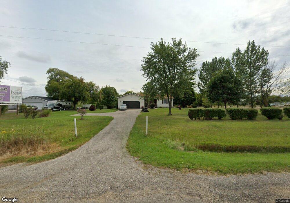
6757 S Us Highway 27 St. Johns, MI 48879
Estimated Value: $220,000 - $292,000
3
Beds
2
Baths
1,784
Sq Ft
$151/Sq Ft
Est. Value
About This Home
This home is located at 6757 S Us Highway 27, St. Johns, MI 48879 and is currently estimated at $269,784, approximately $151 per square foot. 6757 S Us Highway 27 is a home located in Clinton County with nearby schools including St. Johns High School.
Ownership History
Date
Name
Owned For
Owner Type
Purchase Details
Closed on
Apr 9, 2018
Sold by
Moore Rodney K and Moore Carla J
Bought by
Moore Rodney Karston and Moor Carla Jean
Current Estimated Value
Purchase Details
Closed on
Nov 25, 2009
Sold by
Lietzke Duane
Bought by
Moore Rodney K and Moore Carla J
Home Financials for this Owner
Home Financials are based on the most recent Mortgage that was taken out on this home.
Original Mortgage
$120,026
Outstanding Balance
$78,489
Interest Rate
4.95%
Mortgage Type
VA
Estimated Equity
$191,296
Create a Home Valuation Report for This Property
The Home Valuation Report is an in-depth analysis detailing your home's value as well as a comparison with similar homes in the area
Home Values in the Area
Average Home Value in this Area
Purchase History
| Date | Buyer | Sale Price | Title Company |
|---|---|---|---|
| Moore Rodney Karston | -- | None Available | |
| Moore Rodney K | $117,500 | None Available | |
| Lietzke Duane | -- | None Available |
Source: Public Records
Mortgage History
| Date | Status | Borrower | Loan Amount |
|---|---|---|---|
| Open | Moore Rodney K | $120,026 |
Source: Public Records
Tax History Compared to Growth
Tax History
| Year | Tax Paid | Tax Assessment Tax Assessment Total Assessment is a certain percentage of the fair market value that is determined by local assessors to be the total taxable value of land and additions on the property. | Land | Improvement |
|---|---|---|---|---|
| 2025 | $2,486 | $120,500 | $21,500 | $99,000 |
| 2024 | $1,088 | $115,800 | $20,400 | $95,400 |
| 2023 | $1,030 | $102,300 | $0 | $0 |
| 2022 | $2,154 | $94,300 | $18,300 | $76,000 |
| 2021 | $2,135 | $88,200 | $15,500 | $72,700 |
| 2020 | $2,033 | $84,600 | $15,500 | $69,100 |
| 2019 | $1,985 | $80,400 | $15,500 | $64,900 |
| 2018 | $1,860 | $78,300 | $14,900 | $63,400 |
| 2017 | $1,842 | $76,800 | $14,900 | $61,900 |
| 2016 | $1,821 | $77,600 | $14,500 | $63,100 |
| 2015 | -- | $73,400 | $0 | $0 |
| 2011 | -- | $86,200 | $0 | $0 |
Source: Public Records
Map
Nearby Homes
- 2604 Green Rd
- 7225 S Krepps Rd
- 2615 Alward Rd
- Integrity 2000 Plan at Woodridge Bingham - Integrity
- Integrity 1880 Plan at Woodridge Bingham - Integrity
- Integrity 2280 Plan at Woodridge Bingham - Integrity
- Elements 2100 Plan at Woodridge Bingham
- Integrity 1530 Plan at Woodridge Bingham - Integrity
- Elements 2070 Plan at Woodridge Bingham
- Integrity 2080 Plan at Woodridge Bingham - Integrity
- Elements 1800 Plan at Woodridge Bingham
- Elements 1680 Plan at Woodridge Bingham
- Elements 2090 Plan at Woodridge Bingham
- Integrity 1610 Plan at Woodridge Bingham - Integrity
- Integrity 1605 Plan at Woodridge Bingham - Integrity
- Elements 2390 Plan at Woodridge Bingham
- Elements 2700 Plan at Woodridge Bingham
- Elements 2200 Plan at Woodridge Bingham
- Integrity 1830 Plan at Woodridge Bingham - Integrity
- Elements 1870 Plan at Woodridge Bingham
- 6757 S Us Highway 27
- 6757 S Us Highway 27
- 6735 S Us Highway 27
- 6740 S Us Highway 27
- 6740 S Us Highway 27
- 6740 S Us 27 St
- 6740 S Us 27
- 6780 S Us Highway 27
- 6801 S Us Highway 27
- S Us 27
- 6901 S Us Highway 27
- 6901 S Us-27 St
- 6545 S Us Highway 27
- 7060 S Us Highway 27
- 1320 E Jason Rd
- 1440 E Jason Rd
- 1560 E Jason Rd
- 1401 E Jason Rd
- 1582 E Jason Rd
- 1240 W Jason Rd