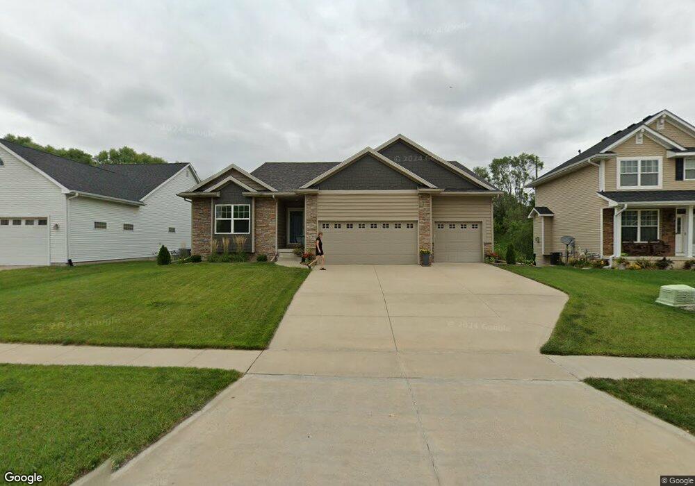
6759 Dakota Dr West Des Moines, IA 50266
Estimated Value: $477,780 - $631,000
4
Beds
3
Baths
1,647
Sq Ft
$320/Sq Ft
Est. Value
About This Home
This home is located at 6759 Dakota Dr, West Des Moines, IA 50266 and is currently estimated at $526,945, approximately $319 per square foot. 6759 Dakota Dr is a home located in Dallas County with nearby schools including Brookview Elementary School, South Middle School, and Prairieview Middle School.
Ownership History
Date
Name
Owned For
Owner Type
Purchase Details
Closed on
Jun 26, 2024
Sold by
Nelson Jeffrey William
Bought by
Dogan Allyson
Current Estimated Value
Purchase Details
Closed on
Aug 6, 2019
Sold by
Dogan Allyson
Bought by
Dogan Allyson and Nelson Jeffrey William
Purchase Details
Closed on
Apr 9, 2010
Sold by
Family Homes Of Iowa Llc
Bought by
Wicker Blair A
Home Financials for this Owner
Home Financials are based on the most recent Mortgage that was taken out on this home.
Original Mortgage
$112,349
Interest Rate
5.02%
Mortgage Type
Future Advance Clause Open End Mortgage
Create a Home Valuation Report for This Property
The Home Valuation Report is an in-depth analysis detailing your home's value as well as a comparison with similar homes in the area
Home Values in the Area
Average Home Value in this Area
Purchase History
| Date | Buyer | Sale Price | Title Company |
|---|---|---|---|
| Dogan Allyson | -- | None Listed On Document | |
| Dogan Allyson | -- | None Available | |
| Wicker Blair A | -- | None Available |
Source: Public Records
Mortgage History
| Date | Status | Borrower | Loan Amount |
|---|---|---|---|
| Previous Owner | Wicker Blair A | $112,349 |
Source: Public Records
Tax History Compared to Growth
Tax History
| Year | Tax Paid | Tax Assessment Tax Assessment Total Assessment is a certain percentage of the fair market value that is determined by local assessors to be the total taxable value of land and additions on the property. | Land | Improvement |
|---|---|---|---|---|
| 2024 | $7,074 | $437,910 | $70,000 | $367,910 |
| 2023 | $7,074 | $437,910 | $70,000 | $367,910 |
| 2022 | $6,862 | $386,630 | $70,000 | $316,630 |
| 2021 | $6,862 | $379,800 | $60,000 | $319,800 |
| 2020 | $6,722 | $360,620 | $60,000 | $300,620 |
| 2019 | $7,048 | $360,620 | $60,000 | $300,620 |
| 2018 | $7,048 | $360,180 | $60,000 | $300,180 |
| 2017 | $7,080 | $360,180 | $60,000 | $300,180 |
| 2016 | $6,336 | $324,390 | $45,000 | $279,390 |
| 2015 | $6,146 | $324,390 | $0 | $0 |
| 2014 | $6,146 | $324,390 | $0 | $0 |
Source: Public Records
Map
Nearby Homes
- 900 67th St Unit 805
- 6800 Ashworth Rd Unit 306
- 950 67th St Unit 412
- 950 67th St Unit 321
- 7126 Aspen Dr
- 681 63rd St
- 980 65th St
- 7143 Dakota Dr
- 6980 Cody Dr Unit 43
- 6980 Cody Dr Unit 17
- 989 65th St
- 7153 Cody Dr
- 6204 Aspen Dr
- 6178 Aspen Dr
- 6440 Ep True Pkwy Unit 3205
- 6440 Ep True Pkwy Unit 2205
- 6440 Ep True Pkwy Unit 1108
- 6216 Orchard Dr
- 6855 Woodland Ave Unit 505
- 6140 Ashworth Rd