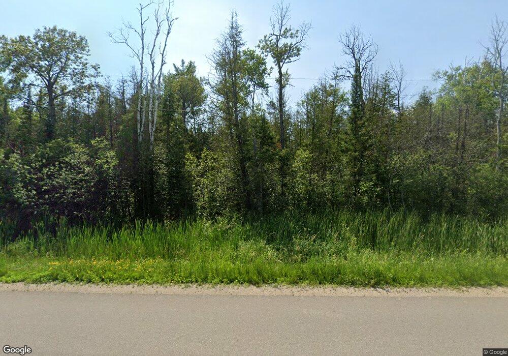
6759 I Rd Escanaba, MI 49829
Estimated Value: $130,000 - $147,754
4
Beds
1
Bath
1,155
Sq Ft
$120/Sq Ft
Est. Value
About This Home
This home is located at 6759 I Rd, Escanaba, MI 49829 and is currently estimated at $138,689, approximately $120 per square foot. 6759 I Rd is a home located in Delta County with nearby schools including Escanaba Jr./Sr. High School.
Ownership History
Date
Name
Owned For
Owner Type
Purchase Details
Closed on
Sep 3, 2009
Sold by
Lordson Robert and Lordson Jennifer
Bought by
Anderson Andrew N and Anderson Jessie M
Current Estimated Value
Home Financials for this Owner
Home Financials are based on the most recent Mortgage that was taken out on this home.
Original Mortgage
$30,000
Interest Rate
5.27%
Mortgage Type
Purchase Money Mortgage
Purchase Details
Closed on
Feb 13, 2004
Sold by
Meunier Jill A
Bought by
United States Dept Of Agriculture
Purchase Details
Closed on
Mar 16, 2000
Bought by
Meunier Jill A
Create a Home Valuation Report for This Property
The Home Valuation Report is an in-depth analysis detailing your home's value as well as a comparison with similar homes in the area
Purchase History
| Date | Buyer | Sale Price | Title Company |
|---|---|---|---|
| Anderson Andrew N | -- | -- | |
| United States Dept Of Agriculture | $34,700 | -- | |
| Meunier Jill A | $46,000 | -- |
Source: Public Records
Mortgage History
| Date | Status | Borrower | Loan Amount |
|---|---|---|---|
| Closed | Anderson Andrew N | $30,000 |
Source: Public Records
Tax History Compared to Growth
Tax History
| Year | Tax Paid | Tax Assessment Tax Assessment Total Assessment is a certain percentage of the fair market value that is determined by local assessors to be the total taxable value of land and additions on the property. | Land | Improvement |
|---|---|---|---|---|
| 2025 | $950 | $30,100 | $0 | $0 |
| 2024 | $834 | $26,400 | $0 | $0 |
| 2023 | $648 | $21,100 | $0 | $0 |
| 2022 | $1,181 | $19,500 | $0 | $0 |
| 2021 | $1,165 | $19,300 | $0 | $0 |
| 2020 | $1,172 | $19,400 | $0 | $0 |
| 2019 | $1,140 | $19,000 | $0 | $0 |
| 2018 | $1,140 | $19,000 | $0 | $0 |
| 2017 | $590 | $20,208 | $0 | $0 |
| 2016 | $608 | $18,750 | $0 | $0 |
| 2014 | $608 | $19,272 | $0 | $0 |
| 2013 | $608 | $20,828 | $0 | $0 |
Source: Public Records
Map
Nearby Homes
- 7011 G 75
- TBD 13 75
- TBD 19th Ln
- TBD Danforth M 2 Blvd
- 3949 20th Rd
- V/L I Rd
- 4864 Greenwood 18 12 Dr
- TBD Delta 17 5 Dr
- 4958 Paula 17.3 St
- 5373 18th Rd
- 8804 County 416 J Rd
- 2809 N 28th St
- US HWY 2 & 41
- 5820 E State Highway M35
- N6804 E State Highway M35
- TBD Triple Creek Rd
- 0 N 3rd St Unit N 3rd ST. Wells,MI 4
- 1401 LOT 107 N 23rd St
- LOT 58 1401 N 23rd St
- 1401 LOT 18 N 23rd St
