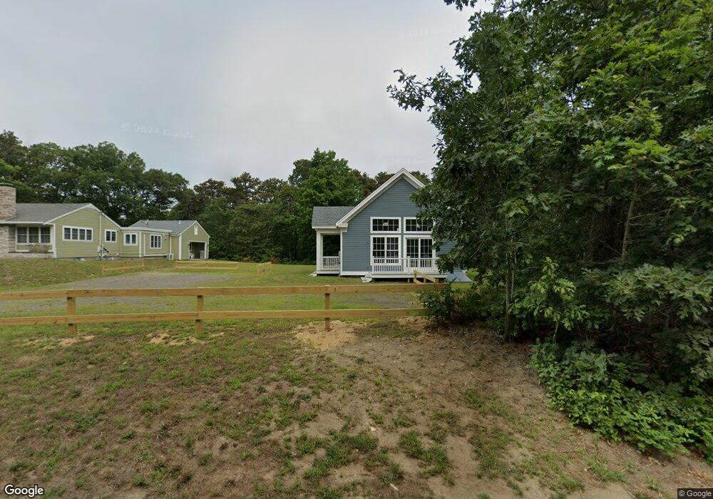
675R Cable Rd Eastham, MA 02642
Estimated Value: $484,000 - $729,000
3
Beds
1
Bath
810
Sq Ft
$801/Sq Ft
Est. Value
About This Home
This home is located at 675R Cable Rd, Eastham, MA 02642 and is currently estimated at $649,078, approximately $801 per square foot. 675R Cable Rd is a home located in Barnstable County with nearby schools including Eastham Elementary School, Nauset Regional Middle School, and Nauset Regional High School.
Ownership History
Date
Name
Owned For
Owner Type
Purchase Details
Closed on
Jun 27, 2014
Sold by
Korn John F
Bought by
Korn John F and Korn Adrienne J
Current Estimated Value
Purchase Details
Closed on
Sep 15, 2008
Sold by
Macdonald Katherine Korn
Bought by
Macdonald Katherine Korn and Macdonald Kevin J
Create a Home Valuation Report for This Property
The Home Valuation Report is an in-depth analysis detailing your home's value as well as a comparison with similar homes in the area
Home Values in the Area
Average Home Value in this Area
Purchase History
| Date | Buyer | Sale Price | Title Company |
|---|---|---|---|
| Korn John F | -- | -- | |
| Macdonald Katherine Korn | -- | -- |
Source: Public Records
Tax History
| Year | Tax Paid | Tax Assessment Tax Assessment Total Assessment is a certain percentage of the fair market value that is determined by local assessors to be the total taxable value of land and additions on the property. | Land | Improvement |
|---|---|---|---|---|
| 2025 | $4,763 | $617,800 | $414,100 | $203,700 |
| 2024 | $4,235 | $604,100 | $402,000 | $202,100 |
| 2023 | $3,975 | $549,000 | $372,200 | $176,800 |
| 2022 | $3,941 | $459,300 | $332,400 | $126,900 |
| 2021 | $3,837 | $418,000 | $302,100 | $115,900 |
| 2020 | $3,636 | $417,000 | $308,300 | $108,700 |
| 2019 | $3,342 | $405,100 | $299,300 | $105,800 |
| 2018 | $3,227 | $386,500 | $290,600 | $95,900 |
| 2017 | $2,993 | $378,900 | $284,900 | $94,000 |
| 2016 | $2,656 | $357,000 | $264,600 | $92,400 |
| 2015 | $2,479 | $349,100 | $259,400 | $89,700 |
Source: Public Records
Map
Nearby Homes
- 135 Nauset Light Beach Rd
- 245 Nauset Light Beach Rd
- 157 Brownell Rd
- 315 Candlewood Dr
- 25 Forrest Ave
- 70 Deerfield Ln
- 18 Jay Dee Ln
- 82 Old Orchard Rd
- 5470 State Hwy
- 20 Oak Rd
- 100 Gigi Ln
- 255 Massasoit Rd
- 10 Bradford Ln
- 49 Village Ln
- 2705 State Hwy
- 2705 State Hwy Unit 1-8
- 46 Spring Brook Rd
- 600 Kingsbury Beach Rd
- 85 Huckleberry Ln
- 340 Salt Works Rd
- 675-R Cable Rd
- 695 Cable Rd
- 605 Cable Rd
- 605 Cable Rd
- 0 K St Unit 22104757
- 0 K St Unit 22302488
- 0 K St Unit 73054702
- 0 K St Unit 22205755
- 605-R Cable Rd
- 720R Cable Rd
- 650 Cable Rd
- 700 Cable Rd
- 750 Cable Rd
- 730R Cable Rd
- 730-R Cable Rd
- 720-R Cable Rd
- 805 Cable Rd
- 800 Cable Rd
- 825R Cable Rd
- 825-R Cable Rd
Your Personal Tour Guide
Ask me questions while you tour the home.