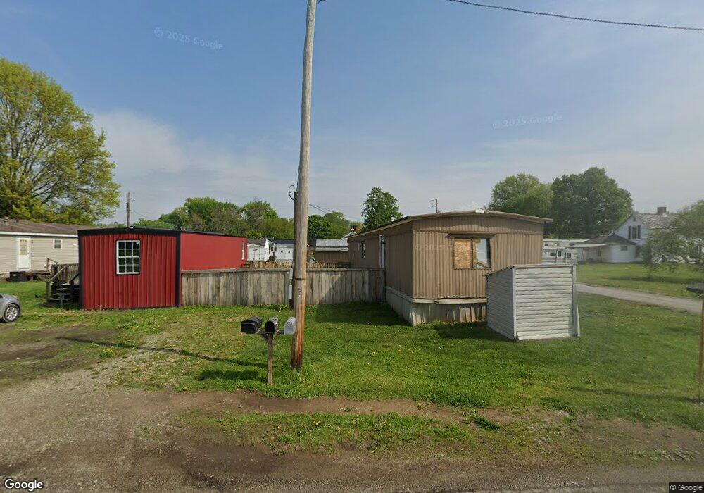
676 Custer Dr Coshocton, OH 43812
Estimated Value: $56,000 - $84,000
Studio
--
Bath
--
Sq Ft
6,970
Sq Ft Lot
About This Home
This home is located at 676 Custer Dr, Coshocton, OH 43812 and is currently estimated at $70,000. 676 Custer Dr is a home located in Coshocton County with nearby schools including Coshocton High School, Coshocton Opportunity School, and Sacred Heart School.
Ownership History
Date
Name
Owned For
Owner Type
Purchase Details
Closed on
Apr 29, 2011
Sold by
Darr Gilbert A
Bought by
Klein Shane A
Current Estimated Value
Home Financials for this Owner
Home Financials are based on the most recent Mortgage that was taken out on this home.
Original Mortgage
$59,790
Outstanding Balance
$41,551
Interest Rate
4.88%
Mortgage Type
Commercial
Estimated Equity
$28,449
Purchase Details
Closed on
Nov 3, 1995
Sold by
Darr Gilbert A
Bought by
Darr Gilbert A
Purchase Details
Closed on
Jul 18, 1995
Sold by
Darr Gilbert A
Bought by
Darr Gilbert A
Purchase Details
Closed on
Aug 16, 1993
Sold by
Haas Robert D
Bought by
Darr Gilbert A
Create a Home Valuation Report for This Property
The Home Valuation Report is an in-depth analysis detailing your home's value as well as a comparison with similar homes in the area
Home Values in the Area
Average Home Value in this Area
Purchase History
| Date | Buyer | Sale Price | Title Company |
|---|---|---|---|
| Klein Shane A | $40,000 | None Available | |
| Darr Gilbert A | -- | -- | |
| Darr Gilbert A | -- | -- | |
| Darr Gilbert A | $5,500 | -- |
Source: Public Records
Mortgage History
| Date | Status | Borrower | Loan Amount |
|---|---|---|---|
| Open | Klein Shane A | $59,790 |
Source: Public Records
Tax History
| Year | Tax Paid | Tax Assessment Tax Assessment Total Assessment is a certain percentage of the fair market value that is determined by local assessors to be the total taxable value of land and additions on the property. | Land | Improvement |
|---|---|---|---|---|
| 2024 | $245 | $5,840 | $4,260 | $1,580 |
| 2023 | $245 | $4,708 | $3,273 | $1,435 |
| 2022 | $227 | $4,708 | $3,273 | $1,435 |
| 2021 | $228 | $4,708 | $3,273 | $1,435 |
| 2020 | $227 | $4,414 | $3,339 | $1,075 |
| 2019 | $229 | $4,414 | $3,339 | $1,075 |
| 2018 | $231 | $4,414 | $3,339 | $1,075 |
| 2017 | $240 | $4,498 | $3,273 | $1,225 |
| 2016 | $231 | $4,498 | $3,273 | $1,225 |
| 2015 | $116 | $4,498 | $3,273 | $1,225 |
| 2014 | $466 | $4,498 | $3,273 | $1,225 |
Source: Public Records
Map
Nearby Homes
- 849 S Lawn Ave
- 731 S 6th St
- 510 S 8th St
- 227 Pine St
- 223 Pine St
- 433 S 7th St
- Lot# 7, S 12th St
- 380 S 10th St
- Lot 8 Country Club Dr
- 410 Pine St
- 425 S 3rd St
- 597 S 12th St
- Lot 2 Country Club Dr
- Lot 1 Country Club Dr
- Lot 5 Country Club Dr
- Lot 4 Country Club Dr
- Lot 3 Country Club Dr
- Lot 6 Country Club Dr
- Lot 7 Country Club Dr
- 640 Orange St
- 1235 Cemetery Dr
- 660 Custer Dr
- 1237 Cemetery Dr
- 1227 Cemetery Dr
- 1207 Cemetery Dr
- 1205 Cemetery Dr
- 675 Birch St
- 667 Birch St
- 644 Custer Dr
- 1309 Cemetery Dr
- 1309 Cemetery Dr
- 1203 Cemetery Dr
- 655 Custer Dr
- 630 Custer Dr
- 630 Custer Dr
- 1317 Cemetery Dr
- 1226 Cemetery Dr
- 645 Custer Dr
- 635 Birch St
- 635 Birch St