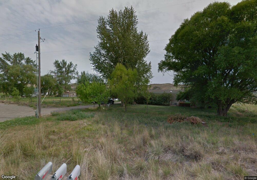
67632 Landfill Rd Montrose, CO 81401
Estimated Value: $310,000 - $670,789
2
Beds
1
Bath
936
Sq Ft
$507/Sq Ft
Est. Value
About This Home
This home is located at 67632 Landfill Rd, Montrose, CO 81401 and is currently estimated at $474,930, approximately $507 per square foot. 67632 Landfill Rd is a home located in Montrose County with nearby schools including Johnson Elementary School, Centennial Middle School, and Montrose High School.
Ownership History
Date
Name
Owned For
Owner Type
Purchase Details
Closed on
Sep 11, 2023
Sold by
Sanders Robin
Bought by
Sanders Joan
Current Estimated Value
Purchase Details
Closed on
Oct 2, 2019
Sold by
Sanders Mardell and Fetchenhier Janice S
Bought by
Kennedy Elaine
Purchase Details
Closed on
Nov 29, 2002
Sold by
Sanders Mardell and Fetchenhier Janice S
Bought by
Sanders Mardell and Fetchenhier Janice S
Purchase Details
Closed on
Nov 27, 2002
Sold by
Waste Management Of Colorado
Bought by
Sanders Mardell and Fetchenhier Janice S
Create a Home Valuation Report for This Property
The Home Valuation Report is an in-depth analysis detailing your home's value as well as a comparison with similar homes in the area
Home Values in the Area
Average Home Value in this Area
Purchase History
| Date | Buyer | Sale Price | Title Company |
|---|---|---|---|
| Sanders Joan | -- | None Listed On Document | |
| Kennedy Elaine | -- | None Available | |
| Sanders Mardell | -- | -- | |
| Sanders Mardell | $550,000 | -- |
Source: Public Records
Tax History Compared to Growth
Tax History
| Year | Tax Paid | Tax Assessment Tax Assessment Total Assessment is a certain percentage of the fair market value that is determined by local assessors to be the total taxable value of land and additions on the property. | Land | Improvement |
|---|---|---|---|---|
| 2024 | $2,456 | $36,620 | $23,470 | $13,150 |
| 2023 | $2,456 | $41,160 | $25,110 | $16,050 |
| 2022 | $2,040 | $31,480 | $19,870 | $11,610 |
| 2021 | $2,175 | $33,520 | $21,530 | $11,990 |
| 2020 | $1,744 | $27,470 | $17,300 | $10,170 |
| 2019 | $1,756 | $27,470 | $17,300 | $10,170 |
| 2016 | $1,670 | $26,090 | $17,340 | $8,750 |
| 2015 | $1,626 | $26,090 | $17,340 | $8,750 |
| 2014 | $1,310 | $22,390 | $14,940 | $7,450 |
Source: Public Records
Map
Nearby Homes
- 67719 Landfill Rd
- 12858 6700 Rd
- 13547 6700 Rd
- 761 Silver Dr
- 67250 Locust Rd Unit 21
- 13721 6700 Rd
- 2965 Locust Rd
- 66231 Landfill Rd
- 67133 Locust Rd
- 1808 Moonlight Dr
- 1806 Galaxy Dr
- TBD Highway 50 Iron Horse Dr
- 1730 Moonlight Dr
- 665 6600 Rd
- 13.33 Acres Highway 50
- 1710 Galaxy Dr
- 1500 Weminuche Ave
- 1400 Weminuche Ave
- 502 Holly Dr
- 2091 Locust Rd
- 67596 Landfill Rd
- 67729 Lasalle Rd
- 67743 La Salle Rd
- 67743 Lasalle Rd
- 67461 Landfill Rd
- 67434 Landfill Rd
- TBD Lot 2 Landfill Rd
- TBD Lot 1 Landfill Rd
- 12851 6800 Rd
- 12841 6800 Rd
- 12841 6800 Rd
- 67158 Landfill Rd
- 67763 La Salle Rd
- 67369 Landfill Rd
- 67430 Landfill Rd
- 6800 Rd
- 67237 La Salle Rd
- 67873 La Salle Rd
- 0 Landfill Rd Unit 774331
- 0 Landfill Rd Unit 769185