67651 Sullivan Rd Twentynine Palms, CA 92277
Estimated Value: $172,528 - $323,000
1
Bed
1
Bath
689
Sq Ft
$339/Sq Ft
Est. Value
About This Home
This home is located at 67651 Sullivan Rd, Twentynine Palms, CA 92277 and is currently estimated at $233,632, approximately $339 per square foot. 67651 Sullivan Rd is a home located in San Bernardino County with nearby schools including Oasis Elementary School, Twentynine Palms Junior High School, and Twentynine Palms High School.
Ownership History
Date
Name
Owned For
Owner Type
Purchase Details
Closed on
Oct 2, 1997
Sold by
Sky View Chapel Church Of God
Bought by
Peters Sally and Eastman David
Current Estimated Value
Home Financials for this Owner
Home Financials are based on the most recent Mortgage that was taken out on this home.
Original Mortgage
$25,000
Outstanding Balance
$4,031
Interest Rate
7.49%
Mortgage Type
Seller Take Back
Estimated Equity
$229,601
Purchase Details
Closed on
Sep 3, 1997
Sold by
The Rawson Family Trust
Bought by
Sky View Chapel Church Of God
Home Financials for this Owner
Home Financials are based on the most recent Mortgage that was taken out on this home.
Original Mortgage
$25,000
Outstanding Balance
$4,031
Interest Rate
7.49%
Mortgage Type
Seller Take Back
Estimated Equity
$229,601
Create a Home Valuation Report for This Property
The Home Valuation Report is an in-depth analysis detailing your home's value as well as a comparison with similar homes in the area
Home Values in the Area
Average Home Value in this Area
Purchase History
| Date | Buyer | Sale Price | Title Company |
|---|---|---|---|
| Peters Sally | $25,000 | Universal Title Company | |
| Sky View Chapel Church Of God | -- | Universal Title Company |
Source: Public Records
Mortgage History
| Date | Status | Borrower | Loan Amount |
|---|---|---|---|
| Open | Peters Sally | $25,000 |
Source: Public Records
Tax History Compared to Growth
Tax History
| Year | Tax Paid | Tax Assessment Tax Assessment Total Assessment is a certain percentage of the fair market value that is determined by local assessors to be the total taxable value of land and additions on the property. | Land | Improvement |
|---|---|---|---|---|
| 2025 | $1,144 | $63,870 | $15,968 | $47,902 |
| 2024 | $1,144 | $62,618 | $15,655 | $46,963 |
| 2023 | $1,089 | $61,390 | $15,348 | $46,042 |
| 2022 | $1,062 | $60,186 | $15,047 | $45,139 |
| 2021 | $1,047 | $59,006 | $14,752 | $44,254 |
| 2020 | $1,032 | $58,401 | $14,601 | $43,800 |
| 2019 | $994 | $57,256 | $14,315 | $42,941 |
| 2018 | $971 | $56,133 | $14,034 | $42,099 |
| 2017 | $955 | $55,033 | $13,759 | $41,274 |
| 2016 | $937 | $53,954 | $13,489 | $40,465 |
| 2015 | -- | $53,143 | $13,286 | $39,857 |
| 2014 | $848 | $52,102 | $13,026 | $39,076 |
Source: Public Records
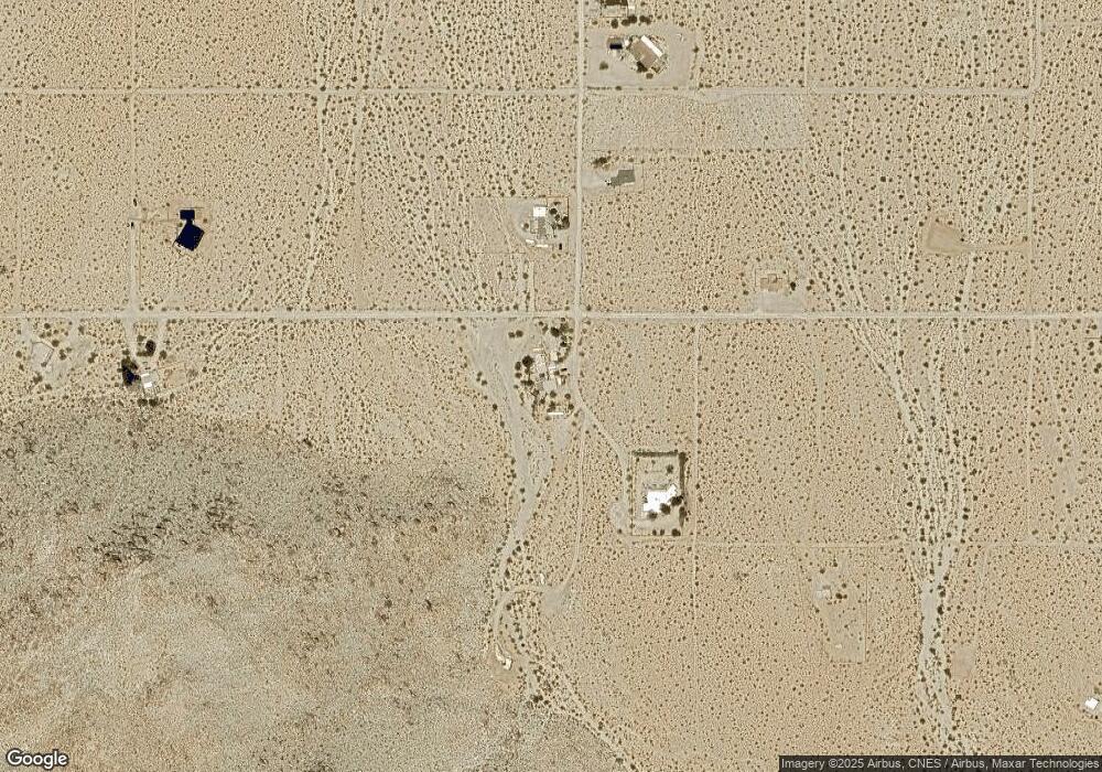
Map
Nearby Homes
- 6767 Peterson Rd
- 0 Wolfe Rd Unit JT25185144
- 6667 Peterson Rd
- 0 Cottonwood Dr Unit IV25076886
- 0 Cottonwood Dr Unit JT25135983
- 0 Cottonwood Dr Unit CV25126976
- 67428 Sullivan Rd
- 0 Que Pass Ln Unit IV25159473
- 68054 Sullivan Rd
- 0 Twentynine Palms Hwy Unit NP24173964
- 2.5 Acres On Hwy 62 Near Hendy's Rd
- 2.5 Acres On Hwy 62 Near Kern Blvd
- 2.5 Acres Hwy 62 Near Robinson Dr
- 8.75 Acres Hwy 62 East of Sawanson Rd
- 29 Palms
- 29 Palms Unit 1
- 0 29 Palms Hwy Unit 25560297
- 0 Twentynine Palms Hwy Unit JT25200350
- 0 Twentynine Palms Hwy Unit TR24192659
- 6658 El Rey Ave
- 6905 Peterson Rd
- 6886 Peterson Rd
- 6873 Peterson Rd
- 67724 Sullivan Rd
- 7034 Peterson Rd
- 0 S Peterson Rd Unit DC11131767
- 0 Petersen Rd Unit DC15045496
- 67714 Cottonwood Dr
- 6887 Wolfe Rd
- 67487 Sullivan Rd
- 6564 Peterson Rd
- 6677 Peterson Rd
- 6679 Peterson Rd
- 6676 Peterson Rd
- 6545 Peterson Rd
- 0 Wolfe Rd Unit 18-366042PS
- 0 Wolfe Rd Unit 41443921
- 0 Wolfe Rd Unit 41443917
- 0 Wolfe Rd Unit 17-197922PS
- 0 Wolfe Rd Unit CV23136340