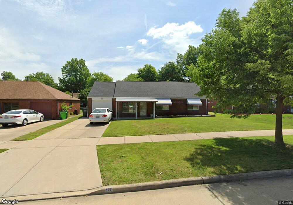
677 Birch Ave Euclid, OH 44132
Estimated Value: $191,349 - $209,000
3
Beds
2
Baths
1,896
Sq Ft
$106/Sq Ft
Est. Value
About This Home
This home is located at 677 Birch Ave, Euclid, OH 44132 and is currently estimated at $200,837, approximately $105 per square foot. 677 Birch Ave is a home located in Cuyahoga County with nearby schools including Shoreview Elementary School, Euclid High School, and Ss. Robert & William Catholic School.
Ownership History
Date
Name
Owned For
Owner Type
Purchase Details
Closed on
May 2, 1994
Sold by
Flores Jose
Bought by
Flores Miguel A
Current Estimated Value
Purchase Details
Closed on
Apr 14, 1992
Sold by
Flores Jose
Bought by
Flores Jose
Purchase Details
Closed on
Feb 26, 1992
Sold by
Klug Alexander
Bought by
Flores Jose
Purchase Details
Closed on
Aug 8, 1988
Sold by
Klug Alexander
Bought by
Klug Alexander
Purchase Details
Closed on
Mar 31, 1978
Sold by
Klug Alexander and Klug Ann
Bought by
Klug Alexander
Purchase Details
Closed on
Jan 1, 1975
Bought by
Klug Alexander and Klug Ann
Create a Home Valuation Report for This Property
The Home Valuation Report is an in-depth analysis detailing your home's value as well as a comparison with similar homes in the area
Home Values in the Area
Average Home Value in this Area
Purchase History
| Date | Buyer | Sale Price | Title Company |
|---|---|---|---|
| Flores Miguel A | $80,000 | -- | |
| Flores Jose | -- | -- | |
| Flores Jose | $80,000 | -- | |
| Klug Alexander | -- | -- | |
| Klug Alexander | -- | -- | |
| Klug Alexander | -- | -- |
Source: Public Records
Tax History Compared to Growth
Tax History
| Year | Tax Paid | Tax Assessment Tax Assessment Total Assessment is a certain percentage of the fair market value that is determined by local assessors to be the total taxable value of land and additions on the property. | Land | Improvement |
|---|---|---|---|---|
| 2024 | $3,985 | $58,380 | $9,660 | $48,720 |
| 2023 | $3,550 | $41,410 | $8,540 | $32,870 |
| 2022 | $3,469 | $41,410 | $8,540 | $32,870 |
| 2021 | $3,861 | $41,410 | $8,540 | $32,870 |
| 2020 | $3,238 | $31,360 | $6,480 | $24,890 |
| 2019 | $2,912 | $89,600 | $18,500 | $71,100 |
| 2018 | $2,884 | $31,360 | $6,480 | $24,890 |
| 2017 | $3,069 | $27,340 | $5,180 | $22,160 |
| 2016 | $3,075 | $27,340 | $5,180 | $22,160 |
| 2015 | $2,798 | $27,340 | $5,180 | $22,160 |
| 2014 | $2,798 | $27,340 | $5,180 | $22,160 |
Source: Public Records
Map
Nearby Homes
- 577 Sycamore Dr
- 29038 Fuller Ave
- 559 Sycamore Dr
- 546 Walnut Dr
- 27190 Shoreview Ave
- 27101 Zeman Ave
- 26951 Shirley Ave
- 970 Bryn Mawr Ave
- 712 E 266th St
- 461 E 271st St
- 780 E 266th St
- 26471 Farringdon Ave
- 440 E 271st St
- 445 E 275th St
- 26430 Drakefield Ave
- 26471 Shoreview Ave
- 26351 Farringdon Ave
- 625 Lloyd Rd
- 635 E 261st St
- 29448 Vinewood Dr