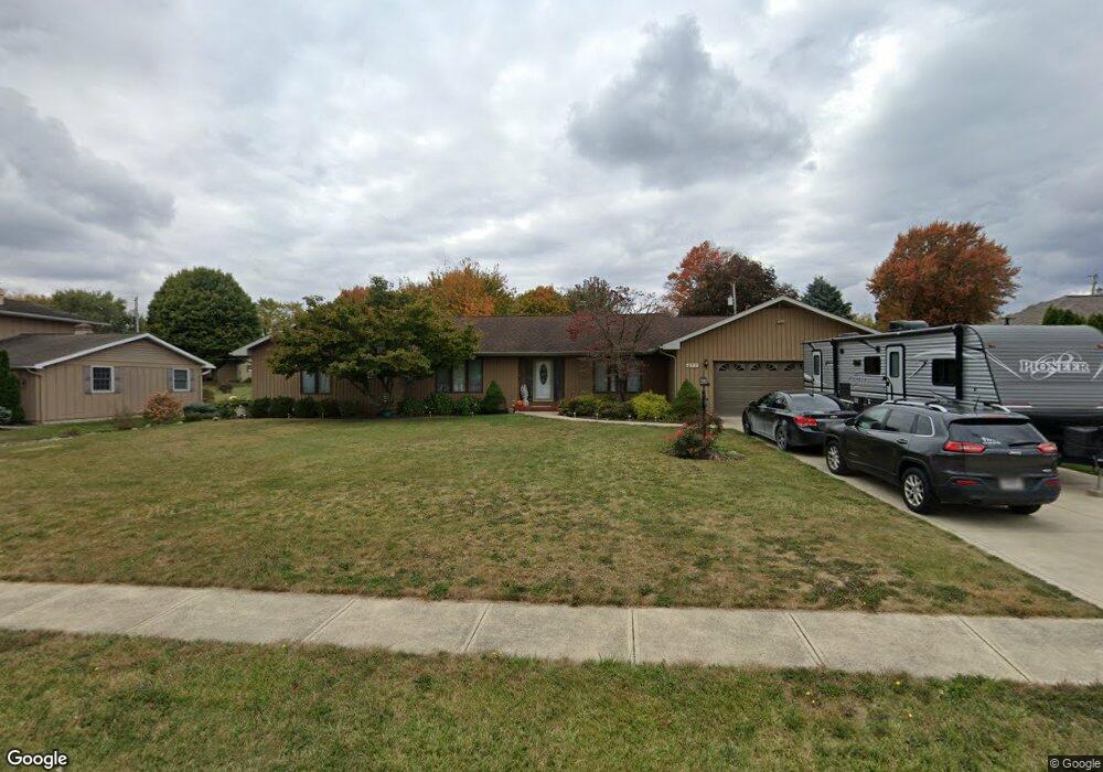
677 Harding Rd Marion, OH 43302
Estimated Value: $323,861 - $358,000
4
Beds
3
Baths
2,498
Sq Ft
$137/Sq Ft
Est. Value
About This Home
This home is located at 677 Harding Rd, Marion, OH 43302 and is currently estimated at $343,465, approximately $137 per square foot. 677 Harding Rd is a home located in Marion County with nearby schools including Benjamin Harrison Elementary School, Ulysses S. Grant Middle School, and Harding High School.
Ownership History
Date
Name
Owned For
Owner Type
Purchase Details
Closed on
Jul 1, 2022
Sold by
Franklin Phyllis A
Bought by
Ramey Jennifer and Ramey Darrell
Current Estimated Value
Home Financials for this Owner
Home Financials are based on the most recent Mortgage that was taken out on this home.
Original Mortgage
$235,125
Outstanding Balance
$191,898
Interest Rate
4.31%
Mortgage Type
New Conventional
Estimated Equity
$151,567
Purchase Details
Closed on
Jul 17, 2007
Sold by
Smith Benjamin G and Dreussi Smith Teresa
Bought by
Franklin James C and Franklin Phyllis A
Home Financials for this Owner
Home Financials are based on the most recent Mortgage that was taken out on this home.
Original Mortgage
$156,000
Interest Rate
6.54%
Mortgage Type
New Conventional
Purchase Details
Closed on
Apr 13, 1999
Bought by
Franklin James C and Surv Phyllis A
Purchase Details
Closed on
Nov 2, 1998
Bought by
Franklin James C and Surv Phyllis A
Create a Home Valuation Report for This Property
The Home Valuation Report is an in-depth analysis detailing your home's value as well as a comparison with similar homes in the area
Home Values in the Area
Average Home Value in this Area
Purchase History
| Date | Buyer | Sale Price | Title Company |
|---|---|---|---|
| Ramey Jennifer | -- | None Listed On Document | |
| Franklin James C | $195,000 | Premier Ohio Title | |
| Franklin James C | $189,500 | -- | |
| Franklin James C | $174,500 | -- |
Source: Public Records
Mortgage History
| Date | Status | Borrower | Loan Amount |
|---|---|---|---|
| Open | Ramey Jennifer | $235,125 | |
| Previous Owner | Franklin James C | $156,000 |
Source: Public Records
Tax History
| Year | Tax Paid | Tax Assessment Tax Assessment Total Assessment is a certain percentage of the fair market value that is determined by local assessors to be the total taxable value of land and additions on the property. | Land | Improvement |
|---|---|---|---|---|
| 2025 | $3,267 | $99,760 | $12,120 | $87,640 |
| 2024 | $3,267 | $87,300 | $11,560 | $75,740 |
| 2023 | $3,267 | $87,300 | $11,560 | $75,740 |
| 2022 | $2,724 | $87,300 | $11,560 | $75,740 |
| 2021 | $2,294 | $68,310 | $10,050 | $58,260 |
| 2020 | $2,295 | $68,310 | $10,050 | $58,260 |
| 2019 | $2,293 | $68,310 | $10,050 | $58,260 |
| 2018 | $2,075 | $62,690 | $10,060 | $52,630 |
| 2017 | $2,102 | $62,690 | $10,060 | $52,630 |
| 2016 | $2,094 | $62,690 | $10,060 | $52,630 |
| 2015 | $2,081 | $61,190 | $9,580 | $51,610 |
| 2014 | $2,080 | $61,190 | $9,580 | $51,610 |
| 2012 | $2,159 | $62,720 | $9,530 | $53,190 |
Source: Public Records
Map
Nearby Homes
- 667 King Ave
- 553 King Ave
- 819 Laura Dr
- 523 Normandy Dr
- 482 King Ave
- 557 Summit St
- 400 Forest Lawn Blvd
- 310 Hane Ave
- 271 Uhler Ave
- 645 Indiana Ave
- 222 Uhler Ave
- 223 Forest Lawn Blvd
- 210 Hane Ave
- 714 E Church St
- 125 Uhler Ave
- 1290 Old Pond Dr
- 569 E Church St
- 322 Belmont St
- 0 Richland Rd
- 354 Franklin St
Your Personal Tour Guide
Ask me questions while you tour the home.