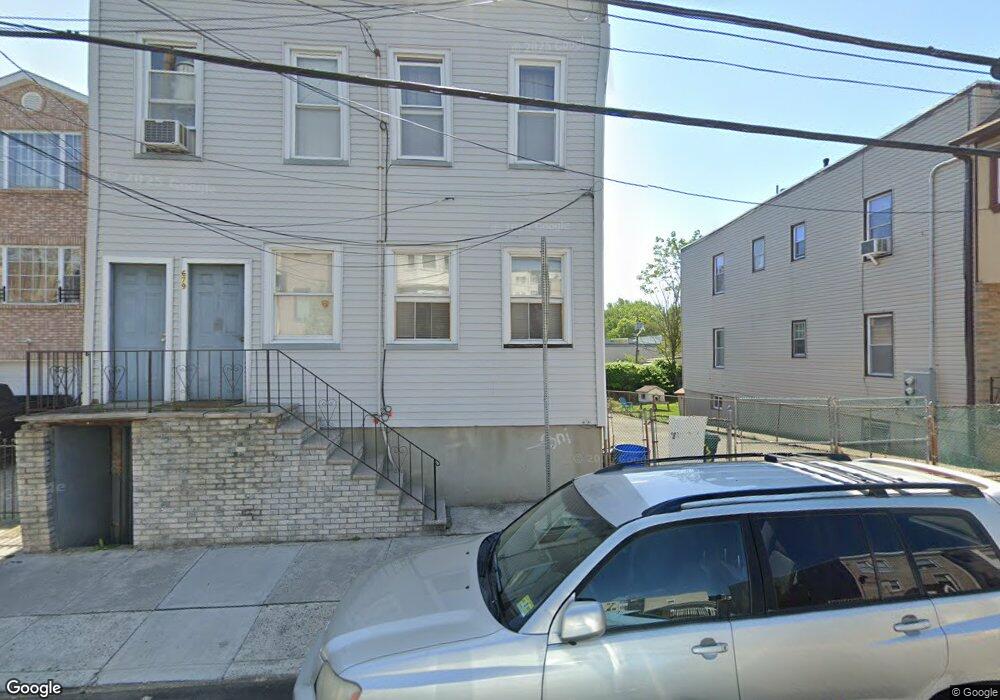
677 N 5th St Unit 679 Newark, NJ 07107
Upper Roseville NeighborhoodEstimated Value: $392,000 - $440,000
--
Bed
--
Bath
1,700
Sq Ft
$250/Sq Ft
Est. Value
About This Home
This home is located at 677 N 5th St Unit 679, Newark, NJ 07107 and is currently estimated at $424,937, approximately $249 per square foot. 677 N 5th St Unit 679 is a home located in Essex County with nearby schools including First Avenue Elementary School, Dr. William H. Horton School, and Ridge Street Elementary School.
Ownership History
Date
Name
Owned For
Owner Type
Purchase Details
Closed on
May 14, 2025
Sold by
Wisdom Construction Limited Liability Co
Bought by
Serenity Apartments Llc
Current Estimated Value
Purchase Details
Closed on
Jul 17, 2023
Sold by
Tursi Cornelia
Bought by
Wisdom Construction Limited Liability Company
Purchase Details
Closed on
Jan 17, 1990
Sold by
Tursi Michael
Bought by
Tursi Michael and Tursi Cornelia
Create a Home Valuation Report for This Property
The Home Valuation Report is an in-depth analysis detailing your home's value as well as a comparison with similar homes in the area
Home Values in the Area
Average Home Value in this Area
Purchase History
| Date | Buyer | Sale Price | Title Company |
|---|---|---|---|
| Serenity Apartments Llc | -- | Catic Title | |
| Wisdom Construction Limited Liability Company | $300,000 | Sunnyside Title | |
| Tursi Michael | -- | -- | |
| Tursi Michael | -- | -- |
Source: Public Records
Tax History Compared to Growth
Tax History
| Year | Tax Paid | Tax Assessment Tax Assessment Total Assessment is a certain percentage of the fair market value that is determined by local assessors to be the total taxable value of land and additions on the property. | Land | Improvement |
|---|---|---|---|---|
| 2025 | $5,357 | $143,700 | $51,100 | $92,600 |
| 2024 | $5,357 | $143,700 | $51,100 | $92,600 |
| 2022 | $5,369 | $143,700 | $51,100 | $92,600 |
| 2021 | $5,366 | $143,700 | $51,100 | $92,600 |
| 2020 | $5,461 | $143,700 | $51,100 | $92,600 |
| 2019 | $5,405 | $143,700 | $51,100 | $92,600 |
| 2018 | $5,307 | $143,700 | $51,100 | $92,600 |
| 2017 | $5,116 | $143,700 | $51,100 | $92,600 |
| 2016 | $4,943 | $143,700 | $51,100 | $92,600 |
| 2015 | $4,755 | $143,700 | $51,100 | $92,600 |
| 2014 | $4,456 | $143,700 | $51,100 | $92,600 |
Source: Public Records
Map
Nearby Homes
- 682 N 7th St
- 684 N 7th St
- 600 N 6th St Unit 1103
- 600 N 6th St Unit B3
- 600 N 6th St
- 727 N 6th St
- 575 N 6th St
- 575 N 6th St Unit 4
- 577 N 9th St
- 191 1st Ave W
- 108 Davenport Ave
- 489 N 11th St Unit 491
- 322 N 10th St
- 776 N 6th St Unit C12
- 582 3rd St Unit 584
- 582 3rd St
- 580 3rd St
- 610 N 9th St
- 622 N 9th St
- 18 Brook St
- 675 N 5th St
- 681 N 5th St
- 683 N 5th St
- 671 N 5th St Unit 673
- 685 N 5th St
- 687 N 5th St
- 181 Berkeley Ave
- 672 N 5th St Unit 674
- 676 N 5th St
- 183 Berkeley Ave
- 185 Berkeley Ave
- 179 Berkeley Ave
- 682 N 5th St Unit 684
- 682 N 5th St Unit 2
- 682 N 5th St Unit 1
- 680 N 5th St
- 177 Berkeley Ave
- 691 N 5th St Unit 693
- 175 Berkeley Ave
- 686 N 5th St