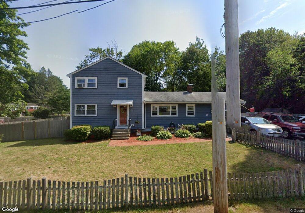
677 Plymouth St Holbrook, MA 02343
Estimated Value: $581,000 - $646,000
4
Beds
2
Baths
1,782
Sq Ft
$340/Sq Ft
Est. Value
About This Home
This home is located at 677 Plymouth St, Holbrook, MA 02343 and is currently estimated at $605,591, approximately $339 per square foot. 677 Plymouth St is a home located in Norfolk County with nearby schools including John F. Kennedy Elementary School, Holbrook Middle High School, and Boston Higashi School.
Ownership History
Date
Name
Owned For
Owner Type
Purchase Details
Closed on
May 15, 1998
Sold by
Ombro Natale J and Ombro Karen R
Bought by
Lee Peter and Lee Deborah
Current Estimated Value
Home Financials for this Owner
Home Financials are based on the most recent Mortgage that was taken out on this home.
Original Mortgage
$137,600
Outstanding Balance
$26,839
Interest Rate
7.08%
Mortgage Type
Purchase Money Mortgage
Estimated Equity
$578,752
Create a Home Valuation Report for This Property
The Home Valuation Report is an in-depth analysis detailing your home's value as well as a comparison with similar homes in the area
Home Values in the Area
Average Home Value in this Area
Purchase History
| Date | Buyer | Sale Price | Title Company |
|---|---|---|---|
| Lee Peter | $144,900 | -- | |
| Lee Peter | $144,900 | -- |
Source: Public Records
Mortgage History
| Date | Status | Borrower | Loan Amount |
|---|---|---|---|
| Open | Lee Peter | $137,600 | |
| Closed | Lee Peter | $137,600 | |
| Previous Owner | Lee Peter | $15,000 | |
| Previous Owner | Lee Peter | $103,500 |
Source: Public Records
Tax History Compared to Growth
Tax History
| Year | Tax Paid | Tax Assessment Tax Assessment Total Assessment is a certain percentage of the fair market value that is determined by local assessors to be the total taxable value of land and additions on the property. | Land | Improvement |
|---|---|---|---|---|
| 2025 | $66 | $498,400 | $273,800 | $224,600 |
| 2024 | $6,173 | $459,300 | $236,500 | $222,800 |
| 2023 | $6,470 | $420,700 | $226,300 | $194,400 |
| 2022 | $6,006 | $364,200 | $192,900 | $171,300 |
| 2021 | $5,702 | $331,100 | $180,300 | $150,800 |
| 2020 | $5,757 | $313,400 | $166,300 | $147,100 |
| 2019 | $5,815 | $298,800 | $158,400 | $140,400 |
| 2018 | $5,500 | $266,100 | $129,500 | $136,600 |
| 2017 | $5,212 | $249,400 | $117,700 | $131,700 |
| 2016 | $4,784 | $243,600 | $115,600 | $128,000 |
| 2015 | $4,341 | $227,500 | $107,000 | $120,500 |
| 2014 | $4,178 | $222,600 | $107,000 | $115,600 |
Source: Public Records
Map
Nearby Homes
- 45-R Ernest St
- 278 Sycamore St
- 16 Loud Rd
- 360 Plymouth St
- 27 Arnold St
- 71 Stevens Dr
- 19 Bradford St
- 169 Pond St
- 35 Rindone St
- 34 Reeds Ln
- 375 S Franklin St Unit 1
- 22 Medallion Rd
- 181 S Franklin St Unit 102
- 181 S Franklin St Unit 207
- 14 Jamieson St
- 152 S Franklin St
- 221 Chestnut St
- 44 Old Forge Rd
- 45 King Rd
- 41 Quincy St
- 712 Plymouth St
- 1 Lantern Rd
- 700 Plymouth St
- 7 Lantern Rd
- 655 Plymouth St Unit 657
- 680 Plymouth St
- 685 Plymouth St
- 2 Lantern Rd
- 716 Plymouth St
- 649 Plymouth St
- 720 Plymouth St
- 4 Lantern Rd
- 11 Lantern Rd
- 8 Lantern Rd
- 645 Plymouth St
- 724 Plymouth St
- 640 Plymouth St
- 12 Lantern Rd
- 15 Lantern Rd
- 660 Plymouth St