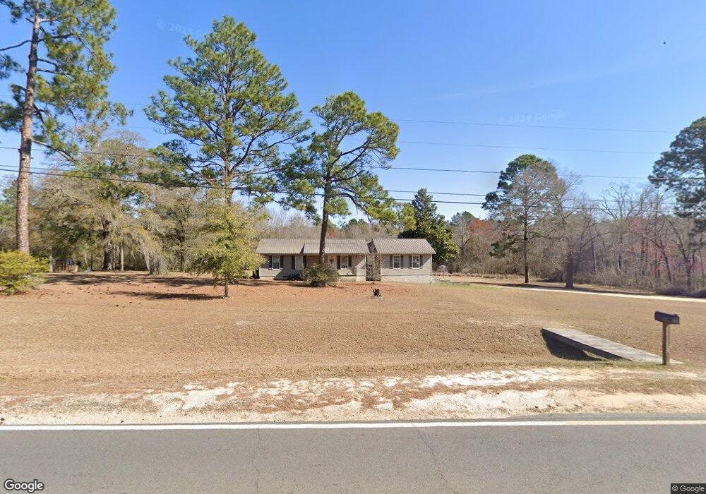
677 Wpa Rd Eastman, GA 31023
Estimated Value: $74,000 - $149,216
--
Bed
1
Bath
2,082
Sq Ft
$59/Sq Ft
Est. Value
About This Home
This home is located at 677 Wpa Rd, Eastman, GA 31023 and is currently estimated at $122,054, approximately $58 per square foot. 677 Wpa Rd is a home with nearby schools including Dodge County High School.
Ownership History
Date
Name
Owned For
Owner Type
Purchase Details
Closed on
May 16, 2011
Sold by
Spires Jack B
Bought by
Brown Rita
Current Estimated Value
Purchase Details
Closed on
May 9, 2005
Sold by
Hulett Pamela Denise
Bought by
Spires Jack B
Purchase Details
Closed on
Nov 9, 2001
Sold by
Bank Of Eastman
Bought by
Hulett Pamela Denise
Purchase Details
Closed on
Oct 18, 2000
Sold by
Clark Kimberly
Bought by
Bank Of Eastman
Purchase Details
Closed on
Aug 14, 1997
Bought by
Clark Kimberly
Create a Home Valuation Report for This Property
The Home Valuation Report is an in-depth analysis detailing your home's value as well as a comparison with similar homes in the area
Home Values in the Area
Average Home Value in this Area
Purchase History
| Date | Buyer | Sale Price | Title Company |
|---|---|---|---|
| Brown Rita | $25,000 | -- | |
| Spires Jack B | $15,000 | -- | |
| Hulett Pamela Denise | $55,900 | -- | |
| Bank Of Eastman | $56,900 | -- | |
| Clark Kimberly | $16,900 | -- |
Source: Public Records
Tax History Compared to Growth
Tax History
| Year | Tax Paid | Tax Assessment Tax Assessment Total Assessment is a certain percentage of the fair market value that is determined by local assessors to be the total taxable value of land and additions on the property. | Land | Improvement |
|---|---|---|---|---|
| 2024 | $1,258 | $37,564 | $4,580 | $32,984 |
| 2023 | $977 | $37,564 | $4,580 | $32,984 |
| 2022 | $935 | $36,312 | $4,580 | $31,732 |
| 2021 | $920 | $35,624 | $4,580 | $31,044 |
| 2020 | $932 | $35,538 | $4,580 | $30,958 |
| 2019 | $1,141 | $33,534 | $4,580 | $28,954 |
| 2018 | $1,092 | $33,534 | $4,580 | $28,954 |
| 2017 | $1,092 | $33,534 | $4,580 | $28,954 |
| 2016 | $1,141 | $35,036 | $4,580 | $30,456 |
| 2015 | -- | $35,036 | $4,580 | $30,456 |
| 2014 | -- | $30,155 | $4,580 | $25,575 |
| 2013 | -- | $30,155 | $4,580 | $25,575 |
Source: Public Records
Map
Nearby Homes
- 0 Windy Way
- 0 Forest Ave Unit 10588959
- 534 Soperton Hwy
- 5534 Russell Ave
- 5559 Bacon Ave
- 5533 Russell Ave
- 5415 Beulah Ave
- 0 Shady Oaks Rd Unit 246471
- 0 Shady Oaks Rd Unit 10400925
- 5811 5th Ave
- 5422 1st Ave
- 220 Page St
- 205 Foster St
- 5218 4th Ave
- 5859 8th Ave
- 619 Cooper Ave
- 6515 Fred Bohannon Rd
- 5321 Oak St
- 0 Jim Pruett Rd Unit 10540625
- 0 Jim Pruett Rd Unit 23612216