67714 Cottonwood Dr Twentynine Palms, CA 92277
Estimated Value: $435,394 - $554,000
3
Beds
4
Baths
2,124
Sq Ft
$233/Sq Ft
Est. Value
About This Home
This home is located at 67714 Cottonwood Dr, Twentynine Palms, CA 92277 and is currently estimated at $494,349, approximately $232 per square foot. 67714 Cottonwood Dr is a home located in San Bernardino County with nearby schools including Oasis Elementary School, Twentynine Palms Junior High School, and Twentynine Palms High School.
Ownership History
Date
Name
Owned For
Owner Type
Purchase Details
Closed on
Dec 27, 2006
Sold by
Hunt Raymond J and Hunt Carolyn E
Bought by
Yockey Milford James and Yockey Sandra M
Current Estimated Value
Purchase Details
Closed on
Mar 30, 2001
Sold by
Gehrke James E and Gehrke Ruth M
Bought by
Hunt Raymond J and Hunt Carolyn E
Purchase Details
Closed on
Sep 7, 1993
Sold by
Thomas William E and Thomas Rhonda R
Bought by
Gehrke James E and Gehrke Ruth M
Home Financials for this Owner
Home Financials are based on the most recent Mortgage that was taken out on this home.
Original Mortgage
$159,135
Interest Rate
6.97%
Mortgage Type
VA
Create a Home Valuation Report for This Property
The Home Valuation Report is an in-depth analysis detailing your home's value as well as a comparison with similar homes in the area
Home Values in the Area
Average Home Value in this Area
Purchase History
| Date | Buyer | Sale Price | Title Company |
|---|---|---|---|
| Yockey Milford James | $270,000 | First American Title Company | |
| Hunt Raymond J | -- | First American Title | |
| Gehrke James E | $154,500 | First American Title Insuran |
Source: Public Records
Mortgage History
| Date | Status | Borrower | Loan Amount |
|---|---|---|---|
| Previous Owner | Gehrke James E | $159,135 |
Source: Public Records
Tax History Compared to Growth
Tax History
| Year | Tax Paid | Tax Assessment Tax Assessment Total Assessment is a certain percentage of the fair market value that is determined by local assessors to be the total taxable value of land and additions on the property. | Land | Improvement |
|---|---|---|---|---|
| 2025 | $4,185 | $361,744 | $107,183 | $254,561 |
| 2024 | $4,185 | $354,651 | $105,081 | $249,570 |
| 2023 | $4,070 | $347,697 | $103,021 | $244,676 |
| 2022 | $3,981 | $340,879 | $101,001 | $239,878 |
| 2021 | $3,656 | $307,800 | $16,300 | $291,500 |
| 2020 | $3,531 | $296,000 | $15,700 | $280,300 |
| 2019 | $3,279 | $274,000 | $14,500 | $259,500 |
| 2018 | $3,117 | $260,900 | $13,800 | $247,100 |
| 2017 | $3,002 | $248,400 | $13,100 | $235,300 |
| 2016 | $2,999 | $248,400 | $13,100 | $235,300 |
| 2015 | $2,906 | $248,400 | $13,100 | $235,300 |
| 2014 | $2,812 | $236,600 | $12,500 | $224,100 |
Source: Public Records
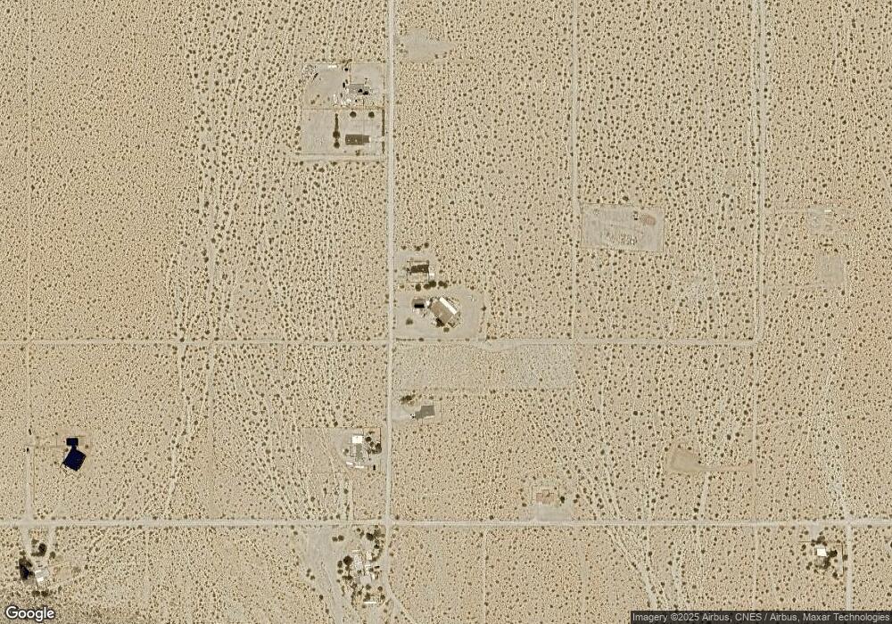
Map
Nearby Homes
- 6767 Peterson Rd
- 6667 Peterson Rd
- 0 Cottonwood Dr Unit IV25076886
- 0 Cottonwood Dr Unit JT25135983
- 0 Cottonwood Dr Unit CV25126976
- 0 Twentynine Palms Hwy Unit NP24173964
- 0 Wolfe Rd Unit JT25185144
- 67428 Sullivan Rd
- 0 Que Pass Ln Unit IV25159473
- 68054 Sullivan Rd
- 2.5 Acres On Hwy 62 Near Hendy's Rd
- 2.5 Acres On Hwy 62 Near Kern Blvd
- 2.5 Acres Hwy 62 Near Robinson Dr
- 0 29 Palms Hwy Unit 25560297
- 8.75 Acres Hwy 62 East of Sawanson Rd
- 29 Palms
- 29 Palms Unit 1
- 0 Twentynine Palms Hwy Unit JT25200350
- 0 Twentynine Palms Hwy Unit TR24192659
- 140 Mantonya Rd
- 0 S Peterson Rd Unit DC11131767
- 0 Petersen Rd Unit DC15045496
- 6564 Peterson Rd
- 6677 Peterson Rd
- 6679 Peterson Rd
- 6676 Peterson Rd
- 6545 Peterson Rd
- 6873 Peterson Rd
- 6596 Peterson Rd
- 6888 Peterson Rd
- 123 Peterson Rd
- 6886 Peterson Rd
- 6666 Peterson Rd
- 67724 Sullivan Rd
- 6656 Peterson Rd
- 0 Peterson Rd Unit DC21130588
- 0 Peterson Rd Unit DC12067195
- 0 Peterson Rd Unit 17-268540PS
- 0 Peterson Rd Unit 16-158276PS
- 0 Peterson Rd Unit JT23207021