6775 W Loomis Rd Greendale, WI 53129
Estimated Value: $10,520,053
Studio
--
Bath
--
Sq Ft
413,384
Sq Ft Lot
About This Home
This home is located at 6775 W Loomis Rd, Greendale, WI 53129 and is currently estimated at $10,520,053. 6775 W Loomis Rd is a home located in Milwaukee County with nearby schools including College Park Elementary School, Greendale Middle School, and Greendale High School.
Ownership History
Date
Name
Owned For
Owner Type
Purchase Details
Closed on
Jun 24, 2022
Sold by
Precision Industries Inc
Bought by
Moss Family Trust
Current Estimated Value
Home Financials for this Owner
Home Financials are based on the most recent Mortgage that was taken out on this home.
Original Mortgage
$4,288,540
Outstanding Balance
$4,074,468
Interest Rate
5.1%
Mortgage Type
New Conventional
Estimated Equity
$6,445,585
Purchase Details
Closed on
Aug 31, 2013
Sold by
Masters Jared T and Masters Cash L
Bought by
Plant B 6 Llc
Create a Home Valuation Report for This Property
The Home Valuation Report is an in-depth analysis detailing your home's value as well as a comparison with similar homes in the area
Home Values in the Area
Average Home Value in this Area
Purchase History
| Date | Buyer | Sale Price | Title Company |
|---|---|---|---|
| Moss Family Trust | $8,888,900 | None Listed On Document | |
| Precision Industries Inc | $4,500,000 | Fiducci Scott E | |
| Plant B 6 Llc | -- | None Available | |
| Masters Jared T | -- | None Available |
Source: Public Records
Mortgage History
| Date | Status | Borrower | Loan Amount |
|---|---|---|---|
| Open | Moss Family Trust | $4,288,540 |
Source: Public Records
Tax History
| Year | Tax Paid | Tax Assessment Tax Assessment Total Assessment is a certain percentage of the fair market value that is determined by local assessors to be the total taxable value of land and additions on the property. | Land | Improvement |
|---|---|---|---|---|
| 2024 | $78,871 | $4,306,000 | $1,134,800 | $3,171,200 |
| 2023 | $80,539 | $4,066,000 | $1,071,900 | $2,994,100 |
| 2022 | $58,087 | $2,921,100 | $841,300 | $2,079,800 |
| 2021 | $61,053 | $2,343,300 | $697,200 | $1,646,100 |
| 2020 | $61,152 | $2,379,600 | $706,100 | $1,673,500 |
| 2019 | $62,589 | $2,429,300 | $720,800 | $1,708,500 |
| 2018 | $59,656 | $2,466,200 | $725,200 | $1,741,000 |
| 2017 | $59,144 | $2,304,700 | $593,700 | $1,711,000 |
| 2016 | $60,807 | $2,381,200 | $613,400 | $1,767,800 |
| 2015 | $59,967 | $2,249,100 | $539,300 | $1,709,800 |
| 2014 | $61,414 | $2,312,800 | $554,600 | $1,758,200 |
| 2013 | $64,659 | $2,392,500 | $573,700 | $1,818,800 |
Source: Public Records
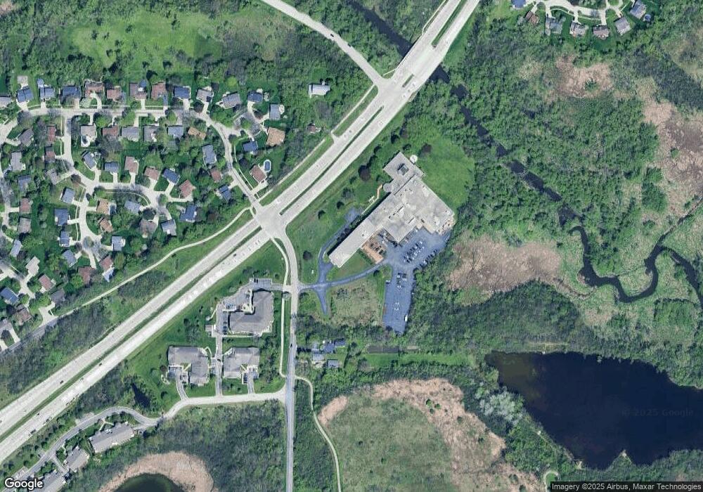
Map
Nearby Homes
- 5872 Riverside Dr
- 7179 W Rawson Ave Unit 135
- 5350 W Yale Dr
- 5316 Robin Dr
- 7260 S Hillside Dr
- 5732 W Rawson Ave
- 5255 W Princeton Dr
- 6748 S Yale Dr
- Lt7 Terrace Dr
- 5600 Lakeview Dr
- 5921 Sycamore St
- Lt2 S Ballpark Dr
- Lt1 S Ballpark Dr
- 5826 Sugarbush Ln
- 6438 Sycamore St
- 8301 W Loomis Rd
- 8710 W Hawthorne Ln
- 5623 Bentwood Ln
- 4540 W Melissa Ct
- 8755 W Meadow Ln
- 6820 Horizon Dr
- 6860 Horizon Dr
- 6840 Horizon Dr
- 6853 Horizon Dr
- 6827 Horizon Dr
- 6880 Horizon Dr
- 6897 Horizon Dr
- 6900 Horizon Dr
- 6920 Horizon Dr
- 6944 Heathmeadow Ct
- 6962 Heathmeadow Ct
- 6939 Horizon Dr
- 6801 W Loomis Rd
- 6978 Heathmeadow Ct
- 6940 Horizon Dr
- 6967 Horizon Dr
- 6965 Heathmeadow Ct
- 6960 Horizon Dr
- 6700 S 68th St
- 6996 Heathmeadow Ct
Your Personal Tour Guide
Ask me questions while you tour the home.