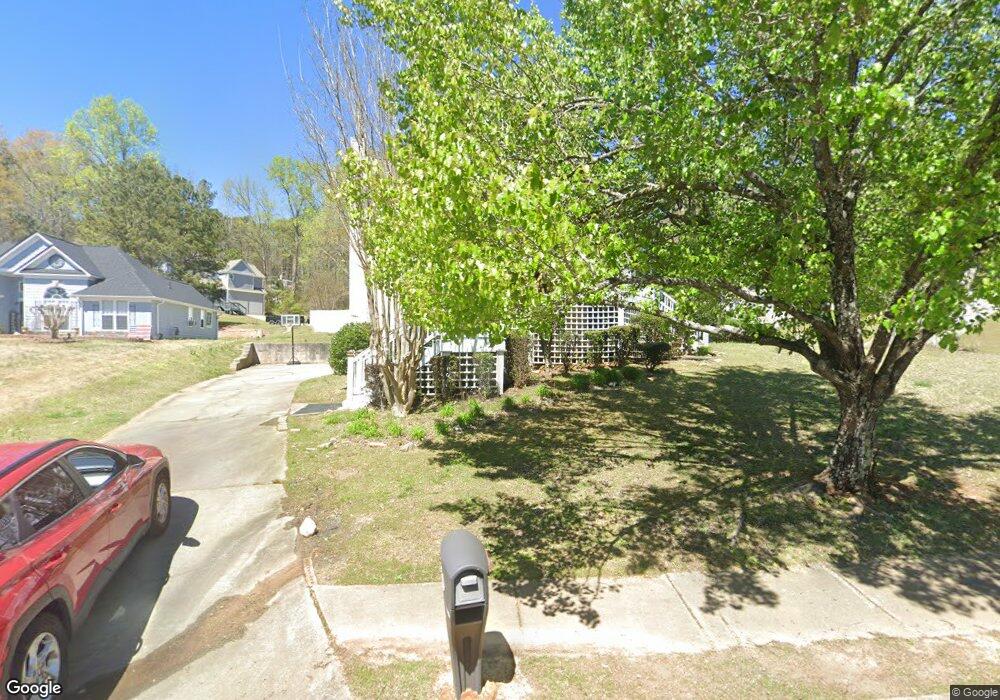
6776 John Clark Dr Unit 1 Douglasville, GA 30134
Estimated Value: $301,000 - $379,000
3
Beds
3
Baths
2,370
Sq Ft
$138/Sq Ft
Est. Value
About This Home
This home is located at 6776 John Clark Dr Unit 1, Douglasville, GA 30134 and is currently estimated at $325,970, approximately $137 per square foot. 6776 John Clark Dr Unit 1 is a home located in Douglas County with nearby schools including North Douglas Elementary School, Stewart Middle School, and Douglas County High School.
Ownership History
Date
Name
Owned For
Owner Type
Purchase Details
Closed on
Oct 26, 2012
Sold by
Jackson Rushiebell Trust
Bought by
Jackson Rushiebell
Current Estimated Value
Purchase Details
Closed on
Sep 14, 1995
Sold by
Poston Assoc
Bought by
Sumner George Rushiebell
Purchase Details
Closed on
May 2, 1995
Sold by
Bjf Assoc Lp
Bought by
Poston Assoc Devel
Create a Home Valuation Report for This Property
The Home Valuation Report is an in-depth analysis detailing your home's value as well as a comparison with similar homes in the area
Home Values in the Area
Average Home Value in this Area
Purchase History
| Date | Buyer | Sale Price | Title Company |
|---|---|---|---|
| Jackson Rushiebell | -- | -- | |
| Sumner George Rushiebell | $119,400 | -- | |
| Poston Assoc Devel | $17,000 | -- |
Source: Public Records
Mortgage History
| Date | Status | Borrower | Loan Amount |
|---|---|---|---|
| Closed | Sumner George Rushiebell | $0 |
Source: Public Records
Tax History Compared to Growth
Tax History
| Year | Tax Paid | Tax Assessment Tax Assessment Total Assessment is a certain percentage of the fair market value that is determined by local assessors to be the total taxable value of land and additions on the property. | Land | Improvement |
|---|---|---|---|---|
| 2024 | $4,351 | $123,160 | $21,720 | $101,440 |
| 2023 | $4,351 | $123,160 | $21,720 | $101,440 |
| 2022 | $3,838 | $94,600 | $14,000 | $80,600 |
| 2021 | $3,317 | $81,440 | $14,000 | $67,440 |
| 2020 | $3,203 | $77,200 | $10,480 | $66,720 |
| 2019 | $2,887 | $75,440 | $10,480 | $64,960 |
| 2018 | $3,149 | $79,600 | $11,760 | $67,840 |
| 2017 | $2,346 | $58,680 | $9,640 | $49,040 |
| 2016 | $2,297 | $56,440 | $9,640 | $46,800 |
| 2015 | $1,541 | $36,760 | $6,440 | $30,320 |
| 2014 | $1,166 | $28,400 | $5,400 | $23,000 |
| 2013 | -- | $27,440 | $5,280 | $22,160 |
Source: Public Records
Map
Nearby Homes
- 6803 John Clark Dr
- 0 Davis Dr Unit 10626722
- 0 Davis Dr Unit 10626705
- 7900 Alpha Way Unit 1
- 8051 Dallas Hwy
- 6859 John Clark Dr
- 6861 John Clark Dr
- 6592 Malone Rd
- 8068 Greene Ct
- 7631 Dallas Hwy
- 7631 Dallas Hwy Unit D035
- 6588 Snowbird Ln Unit 1
- 7104 Skippingstone Way
- 7835 Teton Trail Unit 1
- 8090 Colquitt St
- 7099 Skippingstone Way
- 7125 Creeksong Dr
- 1160 Pleasant Oak Ln
- 8157 Brookbend Dr
- 7712 Autry Cir
- 0 Tower Ct Unit 7093052
- 0 Tower Ct
- 6780 John Clark Dr
- 7868 Tower Ct
- 6771 John Clark Dr Unit 1
- 6786 John Clark Dr Unit 1
- 7856 Tower Ct
- 7862 Tower Ct
- 7851 Tower Ct
- 6740 John Clark Dr
- 6743 John Clark Dr
- 6785 John Clark Dr
- 6785 John Clark Dr Unit 6785
- 7809 Ridge Side Way
- 7805 Ridge Side Way
- 6732 John Clark Dr
- 7801 Ridge Side Way
- 6737 John Clark Dr Unit 1
- 7915 Tower Dr
- 6795 Davis Dr