6776 S 20th Ave W Newton, IA 50208
Estimated Value: $283,000 - $480,000
3
Beds
2
Baths
1,008
Sq Ft
$368/Sq Ft
Est. Value
About This Home
This home is located at 6776 S 20th Ave W, Newton, IA 50208 and is currently estimated at $371,147, approximately $368 per square foot. 6776 S 20th Ave W is a home located in Jasper County with nearby schools including Thomas Jefferson Elementary School, Woodrow Wilson Elementary School, and Berg Middle School.
Ownership History
Date
Name
Owned For
Owner Type
Purchase Details
Closed on
Aug 12, 2025
Sold by
Kriz Karen M and Kriz Jeffrey F
Bought by
Jeffrey And Karen Kriz Family Trust and Kriz
Current Estimated Value
Purchase Details
Closed on
Nov 17, 2022
Sold by
Kriz Karen Marie
Bought by
Kriz Karen M and Kriz Jeffrey F
Purchase Details
Closed on
May 24, 2018
Sold by
Kriz Karen M
Bought by
Kriz Karen M
Create a Home Valuation Report for This Property
The Home Valuation Report is an in-depth analysis detailing your home's value as well as a comparison with similar homes in the area
Home Values in the Area
Average Home Value in this Area
Purchase History
| Date | Buyer | Sale Price | Title Company |
|---|---|---|---|
| Jeffrey And Karen Kriz Family Trust | -- | None Listed On Document | |
| Kriz Karen M | -- | -- | |
| Kriz Karen M | -- | -- |
Source: Public Records
Tax History Compared to Growth
Tax History
| Year | Tax Paid | Tax Assessment Tax Assessment Total Assessment is a certain percentage of the fair market value that is determined by local assessors to be the total taxable value of land and additions on the property. | Land | Improvement |
|---|---|---|---|---|
| 2025 | $2,646 | $288,150 | $109,100 | $179,050 |
| 2024 | $2,646 | $225,630 | $67,480 | $158,150 |
| 2023 | $2,642 | $225,630 | $67,480 | $158,150 |
| 2022 | $2,540 | $190,370 | $67,480 | $122,890 |
| 2021 | $2,290 | $179,730 | $67,480 | $112,250 |
| 2020 | $2,290 | $154,930 | $52,160 | $102,770 |
| 2019 | $2,168 | $137,840 | $0 | $0 |
| 2018 | $2,168 | $137,840 | $0 | $0 |
| 2017 | $2,154 | $136,880 | $0 | $0 |
| 2016 | $2,154 | $136,880 | $0 | $0 |
| 2015 | $2,098 | $137,070 | $0 | $0 |
| 2014 | $2,058 | $137,070 | $0 | $0 |
Source: Public Records
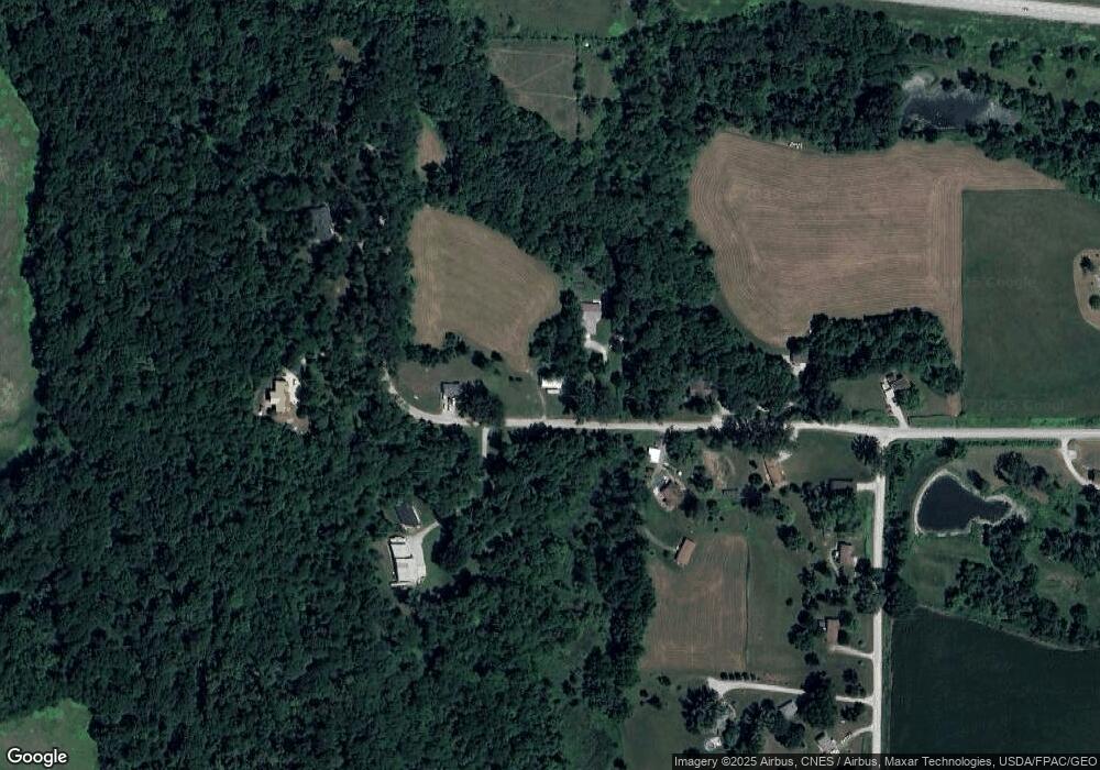
Map
Nearby Homes
- 6911 Highway F48 W
- 3390 W 62nd St S
- 2214 Highway F48 W
- 1149 W 28th St S
- 860 W 28th St S
- TBD W 28th St S
- 299 Hickory St
- 3729 W 56th St N
- 913 W 18th St S
- 124 Emerson Hough Dr
- 6911-10 Highway F 48 W
- 1506 W 17th St S
- 1401 W 16th St S Unit 2
- 2125 W 15th St S
- 1650 W 28th St N
- 1503 S 16th Ave W
- 1506 W 14th St S
- 655 E Division St
- 1431 Cardinal Ridge Dr
- 1321 W 13th St S
- 6720 S 20th Ave W
- 6681 S 20th Ave W
- 6639 S 20th Ave W
- 6639 S 20th Ave W
- 6759 S 20th Ave W
- 6654 S 20th Ave W
- 6837 S 20th Ave W
- 6804 S 20th Ave W
- 6592 S 20th Ave W
- 2105 W 66th St S
- 2163 W 66th St S
- 2211 W 66th St S
- 2251 W 66th St S
- 6511 S 20th Ave W
- 6511 S 20th Ave W
- 2349 W 66th St S
- 6518 S 20th Ave W
- 1450 W 68th St S
- 1459 W 68th St S
- 1401 W 68th St S