678 S Porter Rd Snowflake, AZ 85937
Estimated Value: $436,000 - $696,917
6
Beds
3
Baths
4,193
Sq Ft
$139/Sq Ft
Est. Value
About This Home
This home is located at 678 S Porter Rd, Snowflake, AZ 85937 and is currently estimated at $581,979, approximately $138 per square foot. 678 S Porter Rd is a home located in Navajo County with nearby schools including Highland Primary School, Snowflake Intermediate School, and Snowflake Junior High School.
Ownership History
Date
Name
Owned For
Owner Type
Purchase Details
Closed on
Dec 16, 2010
Sold by
G8 Reo Fund Llc
Bought by
White Justin D and White Rachel L
Current Estimated Value
Home Financials for this Owner
Home Financials are based on the most recent Mortgage that was taken out on this home.
Original Mortgage
$143,273
Interest Rate
4.71%
Mortgage Type
FHA
Purchase Details
Closed on
Sep 30, 2010
Sold by
Fannie Mae
Bought by
G8 Reo Fund Llc
Purchase Details
Closed on
Aug 18, 2009
Sold by
Hunt Bryce A and Hunt April D
Bought by
Federal National Mortgage Association
Purchase Details
Closed on
May 18, 2006
Sold by
Brimhall Chris T and Brimhall Joyce W
Bought by
Hunt Bryce A and Hunt April D
Home Financials for this Owner
Home Financials are based on the most recent Mortgage that was taken out on this home.
Original Mortgage
$307,000
Interest Rate
6.46%
Mortgage Type
Purchase Money Mortgage
Create a Home Valuation Report for This Property
The Home Valuation Report is an in-depth analysis detailing your home's value as well as a comparison with similar homes in the area
Home Values in the Area
Average Home Value in this Area
Purchase History
| Date | Buyer | Sale Price | Title Company |
|---|---|---|---|
| White Justin D | $147,000 | None Available | |
| G8 Reo Fund Llc | $122,750 | None Available | |
| Federal National Mortgage Association | $335,791 | Lawyers Title Of Arizona | |
| Hunt Bryce A | $30,000 | Transnation Title |
Source: Public Records
Mortgage History
| Date | Status | Borrower | Loan Amount |
|---|---|---|---|
| Previous Owner | White Justin D | $143,273 | |
| Previous Owner | Hunt Bryce A | $307,000 |
Source: Public Records
Tax History Compared to Growth
Tax History
| Year | Tax Paid | Tax Assessment Tax Assessment Total Assessment is a certain percentage of the fair market value that is determined by local assessors to be the total taxable value of land and additions on the property. | Land | Improvement |
|---|---|---|---|---|
| 2026 | $1,268 | -- | -- | -- |
| 2025 | $1,232 | $55,617 | $2,111 | $53,506 |
| 2024 | $1,315 | $54,962 | $1,491 | $53,471 |
| 2023 | $1,232 | $44,907 | $815 | $44,092 |
| 2022 | $1,315 | $0 | $0 | $0 |
| 2021 | $1,429 | $0 | $0 | $0 |
| 2020 | $1,437 | $0 | $0 | $0 |
| 2019 | $1,409 | $0 | $0 | $0 |
| 2018 | $1,364 | $0 | $0 | $0 |
| 2017 | $1,331 | $0 | $0 | $0 |
| 2016 | $1,363 | $0 | $0 | $0 |
| 2015 | $1,194 | $15,024 | $534 | $14,490 |
Source: Public Records
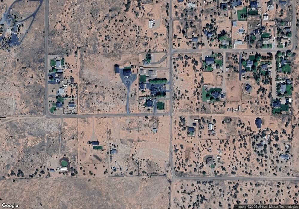
Map
Nearby Homes
- 2996 W Park Plaza Dr
- 2770 W Country Club Dr
- 2993 W Park Plaza Ln
- 212 S Country Club Dr
- 2642 W Foothill Cir Unit 13
- 2642 Foothill Cir
- 012Q Otto Dr
- 2267 W Heritage Dr
- 2294 W Temple View Rd
- 4182 Gonsalves Way
- 17 S Country Club Dr
- 305 W Vista Dr
- 2174 W Antelope
- 2512 N View Rd
- 2133 W Vista Dr
- 261 S Cedar Dr
- 411 Hillcrest Dr
- 362 S Pioneer Trail
- 2115 W Cedar Crest Dr
- TBD #130 Lyon Gate Dr
- 678 S Porter Rd
- 646 W Porter Rd
- 702 Bryant Ave
- 702 Bryant Ave
- 0 Corner of Porter and Bryant Unit 242812
- 0 Porter Bryant Unit 248901
- 0 Porter Bryant Unit 240862
- 630 W Porter Rd
- 3250 W Bryant Ave
- 3250 W Bryant Ave
- 614 S Porter Rd
- 3192 W Bryant Ave
- 0 Porter St Unit 239884
- TBD Porter St Unit 6G
- 2977 W Player Dr
- 3080 W Player Dr
- 2973 W Player Dr
- 0 W Bryant Ave Unit 230010
- 3028 W 7th St S
- 3010 W Player Dr