67824 Old Twenty One Rd Cambridge, OH 43725
Estimated Value: $275,000 - $311,680
--
Bed
--
Bath
1,464
Sq Ft
$202/Sq Ft
Est. Value
About This Home
This home is located at 67824 Old Twenty One Rd, Cambridge, OH 43725 and is currently estimated at $295,670, approximately $201 per square foot. 67824 Old Twenty One Rd is a home with nearby schools including Cambridge High School.
Ownership History
Date
Name
Owned For
Owner Type
Purchase Details
Closed on
Sep 26, 2007
Sold by
Moore Jerry L and Moore Jeannie
Bought by
Sprang David W and Sprang Susan E
Current Estimated Value
Home Financials for this Owner
Home Financials are based on the most recent Mortgage that was taken out on this home.
Original Mortgage
$97,840
Outstanding Balance
$62,513
Interest Rate
6.66%
Mortgage Type
New Conventional
Estimated Equity
$233,157
Purchase Details
Closed on
Mar 9, 2007
Sold by
Wray Joanne and Kotoff Larry
Bought by
Mccracken E Wayne and Mccracken Susan K
Create a Home Valuation Report for This Property
The Home Valuation Report is an in-depth analysis detailing your home's value as well as a comparison with similar homes in the area
Home Values in the Area
Average Home Value in this Area
Purchase History
| Date | Buyer | Sale Price | Title Company |
|---|---|---|---|
| Sprang David W | $122,300 | -- | |
| Mccracken E Wayne | $150,100 | -- |
Source: Public Records
Mortgage History
| Date | Status | Borrower | Loan Amount |
|---|---|---|---|
| Open | Sprang David W | $97,840 |
Source: Public Records
Tax History Compared to Growth
Tax History
| Year | Tax Paid | Tax Assessment Tax Assessment Total Assessment is a certain percentage of the fair market value that is determined by local assessors to be the total taxable value of land and additions on the property. | Land | Improvement |
|---|---|---|---|---|
| 2024 | $3,173 | $83,786 | $16,145 | $67,641 |
| 2023 | $3,173 | $67,130 | $12,814 | $54,316 |
| 2022 | $2,693 | $67,120 | $12,810 | $54,310 |
| 2021 | $2,664 | $67,120 | $12,810 | $54,310 |
| 2020 | $2,266 | $57,870 | $10,220 | $47,650 |
| 2019 | $2,239 | $57,870 | $10,220 | $47,650 |
| 2018 | $1,944 | $57,870 | $10,220 | $47,650 |
| 2017 | $1,835 | $50,180 | $8,890 | $41,290 |
| 2016 | $1,835 | $50,180 | $8,890 | $41,290 |
| 2015 | $1,794 | $50,180 | $8,890 | $41,290 |
| 2014 | -- | $40,150 | $7,320 | $32,830 |
| 2013 | $712 | $40,150 | $7,320 | $32,830 |
Source: Public Records
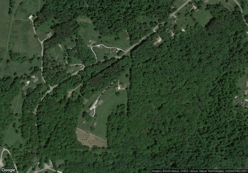
Map
Nearby Homes
- 67706 Oldham Rd
- 67295 Old Twenty One Rd
- 10909 Barrett Hill Rd
- 10909 Ruby Rd
- 10084 Cadiz Rd
- 1616 Quail Hollow Dr
- 0 Angus Rd
- 0 Pigeon Gap Rd
- 1355 Highland Ave
- 1121 Clark St
- 818 Highland Ave
- 807 Harrison Ave
- 812 N 12th St
- 808 N 12th St
- 632 N 9th St
- 614 N 11th St
- 614 N North 11th St
- 620 N 9th St
- 66421 Wolfs Den Rd
- 1206 Foster Ave
- 67811 Old Twenty One Rd
- 67790 Old Twenty One Rd
- 67782 Old Twenty One Rd
- 67920 Old Twenty One Rd
- 67821 Old Twenty One Rd
- 67934 Old Twenty One Rd
- 67817 Old Twenty One Rd
- 67942 Old Twenty One Rd
- 67783 Old Twenty One Rd
- 67882 Chambers Rd
- 67800 Chambers Rd
- 67961 Old Twenty One Rd
- 67638 Old Twenty One Rd
- 67979 Old Twenty One Rd
- 9106 Liberty Rd
- 67701 Lofland Rd
- 67779 Lofland Rd
- 67803 Lofland Rd
- 9220 Liberty Rd
- 67794 Lofland Rd